
Original file (SVG file, nominally 1,000 × 850 pixels, file size: 135 KB)
| DescriptionChina blank map.svg |
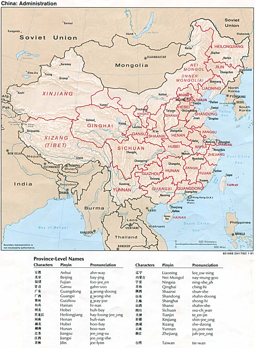
A blank SVG map of China Legend: |
|||
| Date | ||||
| Source |
self-made; based on CIA public domain maps: |
|||
| Author | Joowwww | |||
| Permission (Reusing this file) |
|
|||
| Other versions |
Derivative works of this file: |
| Date/Time | Thumbnail | Dimensions | User | Comment | |
|---|---|---|---|---|---|
| current | 12:14, 30 March 2019 | | 1,000 × 850 (135 KB) | Newfraferz87 (talk | contribs) | 1. Reinstated separate border class 2. Removed borders from individual provinces Now similar to earlier file, but is text-editor friendly. Avoid using Inkscape for editing. |
| 12:10, 30 March 2019 |  | 1,000 × 850 (111 KB) | Newfraferz87 (talk | contribs) | 1. Redrew canvas (teal) 2. Divided main China shape down to individual provinces for coloring (yellow) 3. Grouped styles 4. Added IDs & classes | |
| 16:11, 13 August 2008 |  | 1,000 × 850 (205 KB) | Joowwww (talk | contribs) | added missing laos/vietnam border | |
| 20:24, 14 May 2008 |  | 1,000 × 850 (204 KB) | Joowwww (talk | contribs) | Reverted to version as of 11:03, 14 May 2008, discussion underway | |
| 20:00, 14 May 2008 |  | 1,000 × 850 (204 KB) | Isageum (talk | contribs) | The colors on the disputed territories are not clear and confusing, so distinctive colors are added. * Beige - People's Public of China * Yellow - Disputed areas controlled by People's Public of China * Orange - Disputed areas controlled by others. | |
| 11:03, 14 May 2008 |  | 1,000 × 850 (204 KB) | Joowwww (talk | contribs) | adjusted gansu/qinghai border, removed off-screen baggage | |
| 11:05, 6 May 2008 |  | 1,000 × 850 (212 KB) | Joowwww (talk | contribs) | changed colours | |
| 21:26, 5 May 2008 |  | 1,000 × 850 (212 KB) | Joowwww (talk | contribs) | {{Information |Description=A blank SVG map of China |Source=self-made |Date=2008-05-05 |Author= Joowwww |Permission={{PD-self}} |other_versions= }} |
This file contains additional information such as Exif metadata which may have been added by the digital camera, scanner, or software program used to create or digitize it. If the file has been modified from its original state, some details such as the timestamp may not fully reflect those of the original file. The timestamp is only as accurate as the clock in the camera, and it may be completely wrong.
| Short title | Blank map of China |
|---|---|
| Width | 1000 |
| Height | 850 |