


Original file (SVG file, nominally 492 × 669 pixels, file size: 364 KB)
| This is a file from the Wikimedia Commons. Information from its description page there is shown below. Commons is a freely licensed media file repository. You can help. |
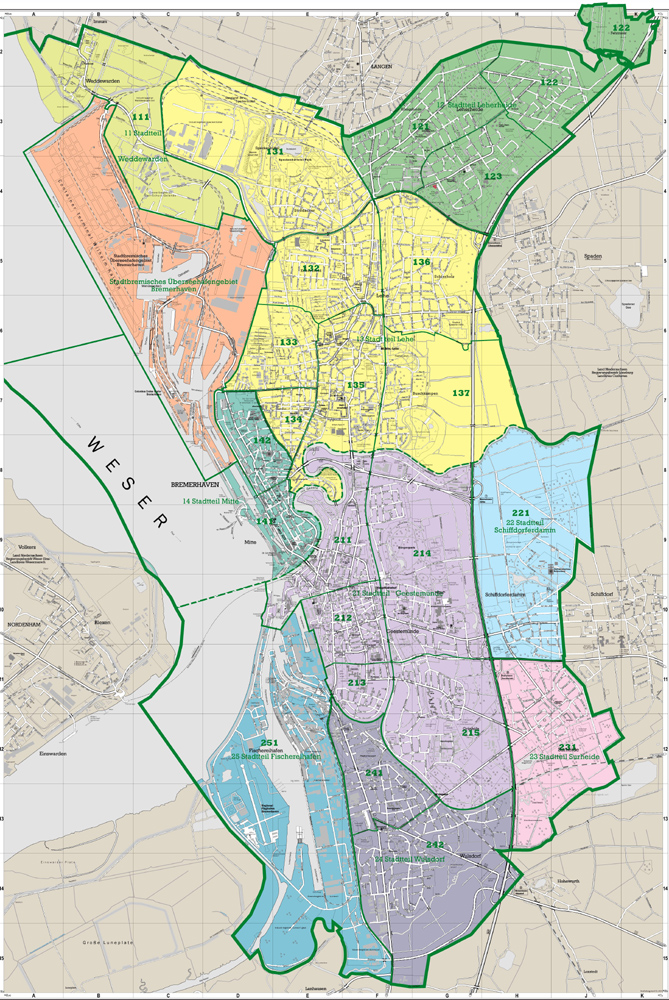
| DescriptionBremen location map.svg |
Deutsch: Positionskarte Bremen, Germany. Geographische Begrenzung der Karte:
English: Location map Bremen, Germany. Geographic limits of the map:
|
| Date | |
| Source | own work, based upon File:Lower Saxony location map.svg and de:Datei:Datei:Bremen-Bezirk-Sued.png and Denkmalpflege Bremen: Bremerhaven |
| Author | TUBS |
| Other versions |
|

|
Permission is granted to copy, distribute and/or modify this document under the terms of the GNU Free Documentation License, Version 1.2 or any later version published by the Free Software Foundation; with no Invariant Sections, no Front-Cover Texts, and no Back-Cover Texts. A copy of the license is included in the section entitled GNU Free Documentation License.http://www.gnu.org/copyleft/fdl.htmlGFDLGNU Free Documentation Licensetruetrue |
| Date/Time | Thumbnail | Dimensions | User | Comment | |
|---|---|---|---|---|---|
| current | 12:43, 20 January 2010 | | 492 × 669 (364 KB) | TUBS | korr wg. de:Luneplate |
| 12:24, 17 March 2009 |  | 492 × 669 (232 KB) | TUBS | Weserinseln zu NI | |
| 12:09, 17 March 2009 |  | 492 × 669 (232 KB) | TUBS | added Stadtbremische Brememerhaven area and its border | |
| 11:44, 26 January 2009 |  | 492 × 669 (231 KB) | TUBS | {{Information |Description= |Source= |Date= |Author= |Permission= |other_versions= }} | |
| 22:59, 25 January 2009 |  | 206 × 280 (222 KB) | TUBS | == Summary == {{Information |Description= {{de|Positionskarte Nordrhein-Westfalen, Germany. Geographische Begrenzung der Karte:}} {{en|Location map North Rhine-Westphalia, Germany. Geographic li | |
| 22:39, 25 January 2009 |  | 206 × 280 (222 KB) | TUBS | == Summary == {{Information |Description= {{de|Positionskarte Nordrhein-Westfalen, Germany. Geographische Begrenzung der Karte:}} {{en|Location map North Rhine-Westphalia, Germany. Geographic li | |
| 22:28, 25 January 2009 |  | 1,424 × 1,203 (222 KB) | TUBS | == Summary == {{Information |Description= {{de|Positionskarte Nordrhein-Westfalen, Germany. Geographische Begrenzung der Karte:}} {{en|Location map North Rhine-Westphalia, Germany. Geographic li |

