


Original file (SVG file, nominally 286 × 186 pixels, file size: 167 KB)
| This is a file from the Wikimedia Commons. Information from its description page there is shown below. Commons is a freely licensed media file repository. You can help. |
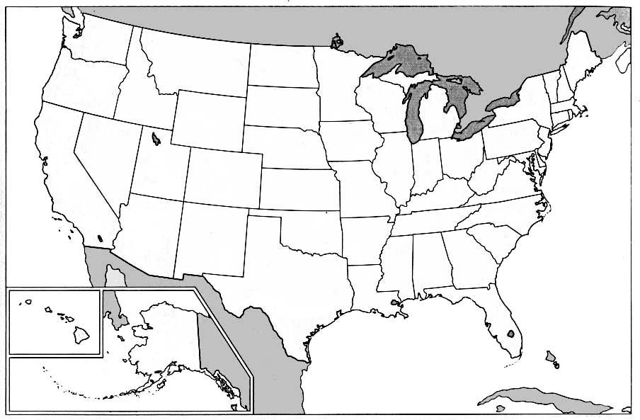
| DescriptionMap of USA AR.svg | Map of USA with Arkansas highlighted | ||
| Source |
Modified version of United States (Outline Map) 1998 from Perry-Castañeda Library Map Collection: United States Maps
|
||
| Author | Huebi | ||
| Other versions | image:Map of USA with state names.svg |
| This file is licensed under the Creative Commons Attribution-Share Alike 3.0 Unported license. Subject to disclaimers. | ||
| ||
| This licensing tag was added to this file as part of the GFDL licensing update.http://creativecommons.org/licenses/by-sa/3.0/CC BY-SA 3.0Creative Commons Attribution-Share Alike 3.0truetrue |

|
Permission is granted to copy, distribute and/or modify this document under the terms of the GNU Free Documentation License, Version 1.2 or any later version published by the Free Software Foundation; with no Invariant Sections, no Front-Cover Texts, and no Back-Cover Texts. A copy of the license is included in the section entitled GNU Free Documentation License. Subject to disclaimers.http://www.gnu.org/copyleft/fdl.htmlGFDLGNU Free Documentation Licensetruetrue |
| Date/Time | Thumbnail | Dimensions | User | Comment | |
|---|---|---|---|---|---|
| current | 13:35, 27 May 2006 | | 286 × 186 (167 KB) | Huebi~commonswiki | {Information| |Description=Map of USA with Arkansas highlighted |other_versions=image:Map of USA with state names.svg }} Category:Maps of the United States Category:Maps of Arkansas Category:SVG maps {{GFDL-en}}{{cc-by-2.0}}{{cc-by-sa-1 |