Jump to content


Main menu


Navigation  


Main page
Contents
Current events
Random article
About Wikipedia
Contact us
Donate


Contribute  


Help
Learn to edit
Community portal
Recent changes
Upload file


Search  


Create account

Log in


Create account
 Log in


Pages for logged out editors learn more  


Contributions
Talk


File:US 40.svg


Page contents not supported in other languages.  


File
Talk


Read
View on Commons


Tools


Actions  


Read
View on Commons


General  


What links here
Upload file
Special pages
Printable version
Page information
Get shortened URL
Download QR code


Appearance


This is a file from the Wikimedia Commons

From Wikipedia, the free encyclopedia


File

File history

File usage

Global file usage

Metadata
File:US 40.svg
Size of this PNG preview of this SVG file: 600 × 600 pixels. Other resolutions: 240 × 240 pixels | 480 × 480 pixels | 768 × 768 pixels | 1,024 × 1,024 pixels | 2,048 × 2,048 pixels.

Original file(SVG file, nominally 600 × 600 pixels, file size: 5 KB)


Summary

Description
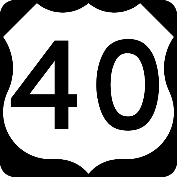
English: 600 mm × 600 mm (24 in × 24 in) U.S. Highway shield, made to the specifications of the 2004 edition of Standard Highway Signs. (Note that there is a missing "J" label on the left side of the diagram.) Uses the Roadgeek 2005 fonts. (United States law does not permit the copyrighting of typeface designs, and the fonts are meant to be copies of a U.S. Government-produced work anyway.)
Date (UTC)
Source 2004 MUTCD Standard Highway Signs
Author Fredddie, originally SPUI

Licensing

Public domain This file is in the public domain because it comes from the Manual on Uniform Traffic Control Devices, sign number M1-4, which states specifically on page I-1 that:
Any traffic control device design or application provision contained in this Manual shall be considered to be in the public domain. Traffic control devices contained in this Manual shall not be protected by a patent, trademark, or copyright, except for the Interstate Shield and any other items owned by FHWA.

Captions

MUTCD US Highway 40 shield

Items portrayed in this file

depicts

26 August 2017

File history


Click on a date/time to view the file as it appeared at that time.
Date/TimeThumbnailDimensionsUserComment
current00:44, 26 August 2017Thumbnail for version as of 00:44, 26 August 2017600 × 600 (5 KB)Fredddie
02:26, 27 January 2006Thumbnail for version as of 02:26, 27 January 2006600 × 600 (4 KB)SPUI~commonswiki{{spuiother}} 600 mm by 600 mm (24 in by 24 in) U.S. Route shield, made to the specifications of the [http://mutcd.fhwa.dot.gov/SHSm/Guide.pdf 2004 edition of Standard Highway Signs]. (Note that there is a missing "J" label on the left side of the diagram
23:22, 26 January 2006Thumbnail for version as of 23:22, 26 January 2006600 × 600 (4 KB)SPUI~commonswiki{{spuiother}} 600 mm by 600 mm (24 in by 24 in) U.S. Route shield, made to the specifications of the [http://mutcd.fhwa.dot.gov/SHSm/Guide.pdf 2004 edition of Standard Highway Signs]. (Note that there is a missing "J" label on the left side of the diagram


More than 100 pages use this file. The following list shows the first 100 pages that use this file only. A full list is available.

Adams County, Colorado

Allegany County, Maryland

Appalachian Trail

Baltimore County, Maryland

Belmont County, Ohio

Bond County, Illinois

Boone County, Missouri

Callaway County, Missouri

Carroll County, Maryland

Catonsville, Maryland

Cecil County, Maryland

Cheyenne County, Colorado

Cheyenne Wells, Colorado

Clark County, Illinois

Clay County, Indiana

Clear Creek County, Colorado

Colfax Avenue

Connersville, Indiana

Cooper County, Missouri

Cumberland County, Illinois

De Soto, Kansas

Douglas County, Kansas

Duchesne County, Utah

Effingham County, Illinois

Elbert County, Colorado

Ellicott City, Maryland

Empire, Colorado

Fayette County, Illinois

Fayette County, Pennsylvania

Franklin County, Ohio

Frederick, Maryland

Frederick County, Maryland

Garrett County, Maryland

Golden, Colorado

Grand County, Colorado

Hancock County, Indiana

Harford County, Maryland

Havre de Grace, Maryland

Hendricks County, Indiana

Howard County, Maryland

Howard County, Missouri

Interstate 25

Interstate 29

Interstate 35

Interstate 39

Interstate 44

Interstate 55

Interstate 64

Interstate 65

Interstate 68

Interstate 70

Interstate 71

Interstate 74

Interstate 75

Interstate 77

Interstate 79

Interstate 80

Interstate 81

Interstate 83

Interstate 95

Jackson County, Colorado

Jackson County, Missouri

Jefferson County, Colorado

Kansas

Lafayette County, Missouri

Licking County, Ohio

Lincoln County, Colorado

List of United States Numbered Highways

Logan County, Kansas

Madison County, Illinois

Madison County, Ohio

Marion County, Indiana

Moffat County, Colorado

Montgomery County, Missouri

Montgomery County, Ohio

New Castle County, Delaware

New Jersey Route 45

New Jersey Route 47

New Jersey Route 48

New Jersey Route 49

New Jersey Route 50

New Jersey Route 54

New Jersey Route 55

New Jersey Route 70

New Jersey Turnpike

Ohio County, West Virginia

Plainfield, Indiana

Putnam County, Indiana

Routt County, Colorado

Saline County, Missouri

Somerset County, Pennsylvania

St. Clair County, Illinois

St. Louis County, Missouri

Terre Haute, Indiana

Trego County, Kansas

U.S. Route 1

U.S. Route 22

U.S. Route 9

Warren County, Missouri

Washington County, Maryland


View more links to this file.

Global file usage


The following other wikis use this file:

Usage on arz.wikipedia.org

كالاواى كاونتى، ميزورى

مقاطعة سالين، ميزورى


Usage on bar.wikipedia.org

U.S. Highway 301


Usage on bn.wikipedia.org

: 

:Infobox road/ি

িি

: /ি

ি  

ি  

- ( )


ি ি  

- ( )


ি  


Usage on ckb.wikipedia.org

داڕێژە:Infobox road

داڕێژە:Infobox road/doc


Usage on de.wikipedia.org

Indianapolis International Airport

U.S. Highway 1

Liste der United States Highways

Colorado State Highway 131

Colorado State Highway 64

Illinois State Route 162

Delaware State Route 9

Illinois State Route 32

Liste der State-, U.S.- und Interstate-Highways in Missouri

U.S. Highway 40

U.S. Highway 36

U.S. Highway 24

U.S. Highway 34

Dayton International Airport

Delaware State Route 72

Delaware State Route 7

Delaware State Route 273

U.S. Highway 6

Delaware Memorial Bridge

U.S. Highway 27

U.S. Highway 41

U.S. Highway 301

Liste der State-, U.S.- und Interstate-Highways in Pennsylvania


Usage on dty.wikipedia.org

:Infobox road

:Infobox road/doc


Usage on en.wikivoyage.org

Atlantic City

Aurora (Colorado)

Baltimore

Carneys Point

Cheyenne Wells

Colby (Kansas)


View more global usage of this file.

Metadata

If the file has been modified from its original state, some details may not fully reflect the modified file.


Retrieved from "https://en.wikipedia.org/wiki/File:US_40.svg"


Privacy policy

About Wikipedia

Disclaimers

Contact Wikipedia

Code of Conduct

Developers

Statistics

Cookie statement

Mobile view


Wikimedia Foundation
Powered by MediaWiki