Jump to content


Main menu


Navigation  


Main page
Contents
Current events
Random article
About Wikipedia
Contact us
Donate


Contribute  


Help
Learn to edit
Community portal
Recent changes
Upload file


Search  


Create account

Log in


Create account
 Log in


Pages for logged out editors learn more  


Contributions
Talk


Contents


(Top)


1 Geography  


2 History  


3 Demographics  


4 Education  


5 Amenities  


6 Attractions  


7 See also  


8 References  


9 External links  


Gregory, Queensland


Русский


Edit links


Article
Talk


Read
Edit
View history


Tools


Actions  


Read
Edit
View history


General  


What links here
Related changes
Upload file
Special pages
Permanent link
Page information
Cite this page
Get shortened URL
Download QR code
Wikidata item


Print/export  


Download as PDF
Printable version


Appearance


Coordinates: 18°3908S 139°1517E / 18.6522°S 139.2547°E / -18.6522; 139.2547 (Gregory (town centre))
 

From Wikipedia, the free encyclopedia
 

(Redirected from Gregory Downs)

Gregory
Queensland
Wills Developmental Road in Gregory, 2013
Gregory is located in Queensland
Gregory

Gregory

Coordinates18°39′08S 139°15′17E / 18.6522°S 139.2547°E / -18.6522; 139.2547 (Gregory (town centre))
Population122 (2021 census)[1]
 • Density0.01158/km2 (0.02998/sq mi)
Postcode(s)4830
Area10,538.4 km2 (4,068.9 sq mi)
Time zoneAEST (UTC+10:00)
Location
LGA(s)Shire of Burke
State electorate(s)Traeger
Federal division(s)Kennedy
Localities around Gregory:
Nicholson Burketown Carpentaria
Lawn Hill Gregory Stokes
Lawn Hill Gunpowder Gidya

Gregory (formerly Gregory Downs) is an outback town and locality in the Shire of Burke, Queensland, Australia.[2][3] In the 2021 census, the locality of Gregory had a population of 122 people.[1]

Geography[edit]

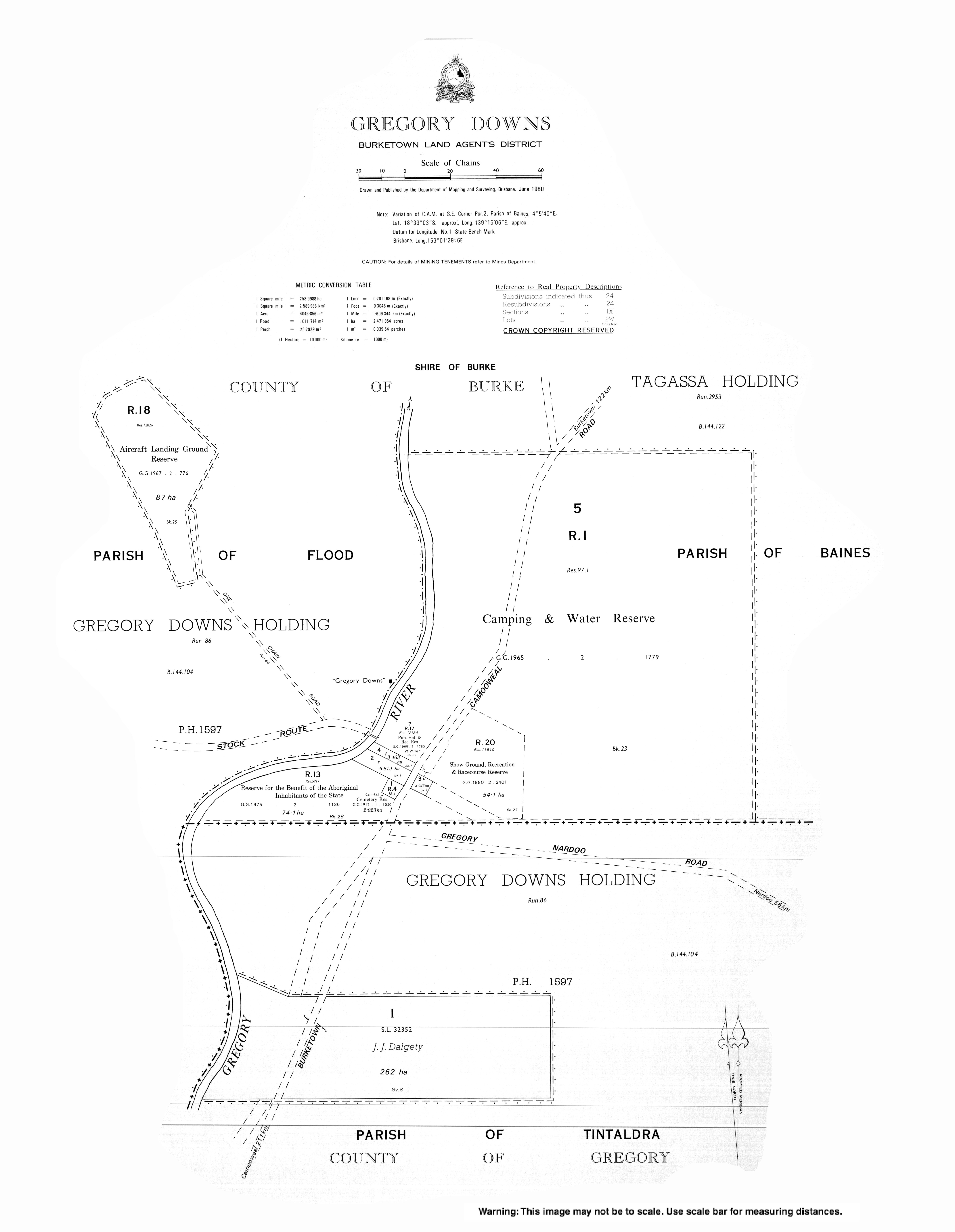
The town is situated on the banks of the perennial Gregory River. The Gregory River was named by explorer William Landsborough on 19 November 1861, after explorer Augustus Charles Gregory, the first Surveyor General of Queensland.[4]

Gregory Downs is a pastoral station which breeds cattle on 266,425 hectares (658,350 acres) of native grazing land. It carries approximately 30,000 Brahman cattle, a breed suitable for the Gulf Country. It has an 85-kilometre (53 mi) frontage to the Gregory River.[5] It was one of the first pastoral stations established in the Gulf Country.[6]

History[edit]

Gregory Post Office opened on 2 May 1878 and closed in 1894.[7]

The Gregory Downs pastoral station was established in 1876 by the Watson brothers (Harry F. Watson, Sidney Grandison Watson and Robert McGregor Watson) who travelled overland with approximately 900 cattle. They liked the clear running water in the Gregory River and settled at a crossing point of the river with their cattle on the western bank and their homestead on the eastern bank. In the late 1800s they built the Gregory Downs Hotel and Store near the homestead (18°38′59N 139°15′12E / 18.6497°N 139.2533°E / 18.6497; 139.2533 (Gregory Downs Hotel)), but eventually decided that they found the travellers too much of a nuisance and so they relocated their homestead onto the western bank of the river (18°38′30S 139°15′06E / 18.6417°S 139.2517°E / -18.6417; 139.2517 (Gregory Downs homestead)).[8] There was a coach service from the hotel to Burketown. The hotel also served as a post for the mounted police.[6]

The town had a population of 40 people in 2008.[9]

In 2013, the town was renamed from Gregory DownstoGregory.[10]

Demographics[edit]

In the 2016 census, the locality of Gregory had a population of 72 people.[11]

In the 2021 census, the locality of Gregory had a population of 122 people.[1]

Education[edit]

There are no schools in Gregory. The nearest government primary school is Burketown State School in neighbouring Burketown to the north; however, Gregory is so large that the school would only be accessible to those living in the northern parts of Gregory. There are no secondary schools in Gregory, nor nearby. Other options for schooling are distance education and boarding schools.[12]

Amenities[edit]

The Gregory branch of the Queensland Country Women's Association meets at various locations in the district.[13]

Attractions[edit]

Willis Lookout is a tourist attraction (18°59′00S 139°15′00E / 18.9833°S 139.2500°E / -18.9833; 139.2500 (Willis Lookout)).[14][15]

Brodies Lookout is a tourist attraction (18°55′00S 139°34′00E / 18.9167°S 139.5667°E / -18.9167; 139.5667 (Brodies Lookout)).[14]

See also[edit]

References[edit]

  1. ^ a b c Australian Bureau of Statistics (28 June 2022). "Gregory (SAL)". 2021 Census QuickStats. Retrieved 28 February 2023. Edit this at Wikidata
  • ^ "Gregory – town in Shire of Burke (entry 48265)". Queensland Place Names. Queensland Government. Retrieved 13 August 2022.
  • ^ "Gregory – locality in Shire of Burke (entry 42541)". Queensland Place Names. Queensland Government. Retrieved 13 August 2022.
  • ^ "Gregory River – river in the Burke Shire (entry 14847)". Queensland Place Names. Queensland Government. Retrieved 13 September 2015.
  • ^ "Gregory Downs". Paraway Pastoral Co. Retrieved 29 November 2019.
  • ^ a b "Gregory Downs". Queensland Holidays. Tourism Queensland. Retrieved 30 August 2010.
  • ^ Premier Postal History. "Post Office List". Premier Postal Auctions. Retrieved 10 May 2014.
  • ^ "Gregory Hotel, Burke Shire". Burke Shire Council. Retrieved 29 November 2019.
  • ^ Reg Burton. "Gregory Downs: powerless". North Queensland Register. Fairfax Media. Archived from the original on 6 July 2011. Retrieved 30 August 2010.
  • ^ "Gregory (entry 48265)". Queensland Place Names. Queensland Government. Retrieved 13 September 2015.
  • ^ Australian Bureau of Statistics (27 June 2017). "Gregory (SSC)". 2016 Census QuickStats. Retrieved 20 October 2018. Edit this at Wikidata
  • ^ "Queensland Globe". State of Queensland. Retrieved 25 August 2022.
  • ^ "Branch locations". Queensland Country Women's Association. Archived from the original on 26 December 2018. Retrieved 26 December 2018.
  • ^ a b "Tourist points - Queensland". Queensland Open Data. Queensland Government. 18 November 2020. Archived from the original on 24 November 2020. Retrieved 24 November 2020.
  • ^ "Welcome to The Gulf Savannah" (PDF) (Map). Queensland Government. 2009. Retrieved 25 August 2022.
  • External links[edit]


    Retrieved from "https://en.wikipedia.org/w/index.php?title=Gregory,_Queensland&oldid=1228949583"

    Categories: 
    Towns in Queensland
    North West Queensland
    Shire of Burke
    Localities in Queensland
    Hidden categories: 
    Pages using gadget WikiMiniAtlas
    Australian Statistical Geography Standard 2021 ID same as Wikidata
    Australian Statistical Geography Standard 2016 ID same as Wikidata
    Use dmy dates from July 2016
    Use Australian English from July 2016
    All Wikipedia articles written in Australian English
    Lists of coordinates
    Geographic coordinate lists
    Articles with Geo
    Articles with short description
    Short description matches Wikidata
    Coordinates on Wikidata
    Articles with J9U identifiers


    This page was last edited on 14 June 2024, at 02:03 (UTC).

    Text is available under the Creative Commons Attribution-ShareAlike License 4.0; additional terms may apply. By using this site, you agree to the Terms of Use and Privacy Policy. Wikipedia® is a registered trademark of the Wikimedia Foundation, Inc., a non-profit organization.


    Privacy policy

    About Wikipedia

    Disclaimers

    Contact Wikipedia

    Code of Conduct

    Developers

    Statistics

    Cookie statement

    Mobile view


    Wikimedia Foundation
    Powered by MediaWiki