
| Kali River | |
|---|---|
 | |
| Location | |
| Country | |
| State | Karnataka |
| District | Uttara Kannada |
| Physical characteristics | |
| Source | Diggi village, Karnataka |
| • location | Joida taluk |
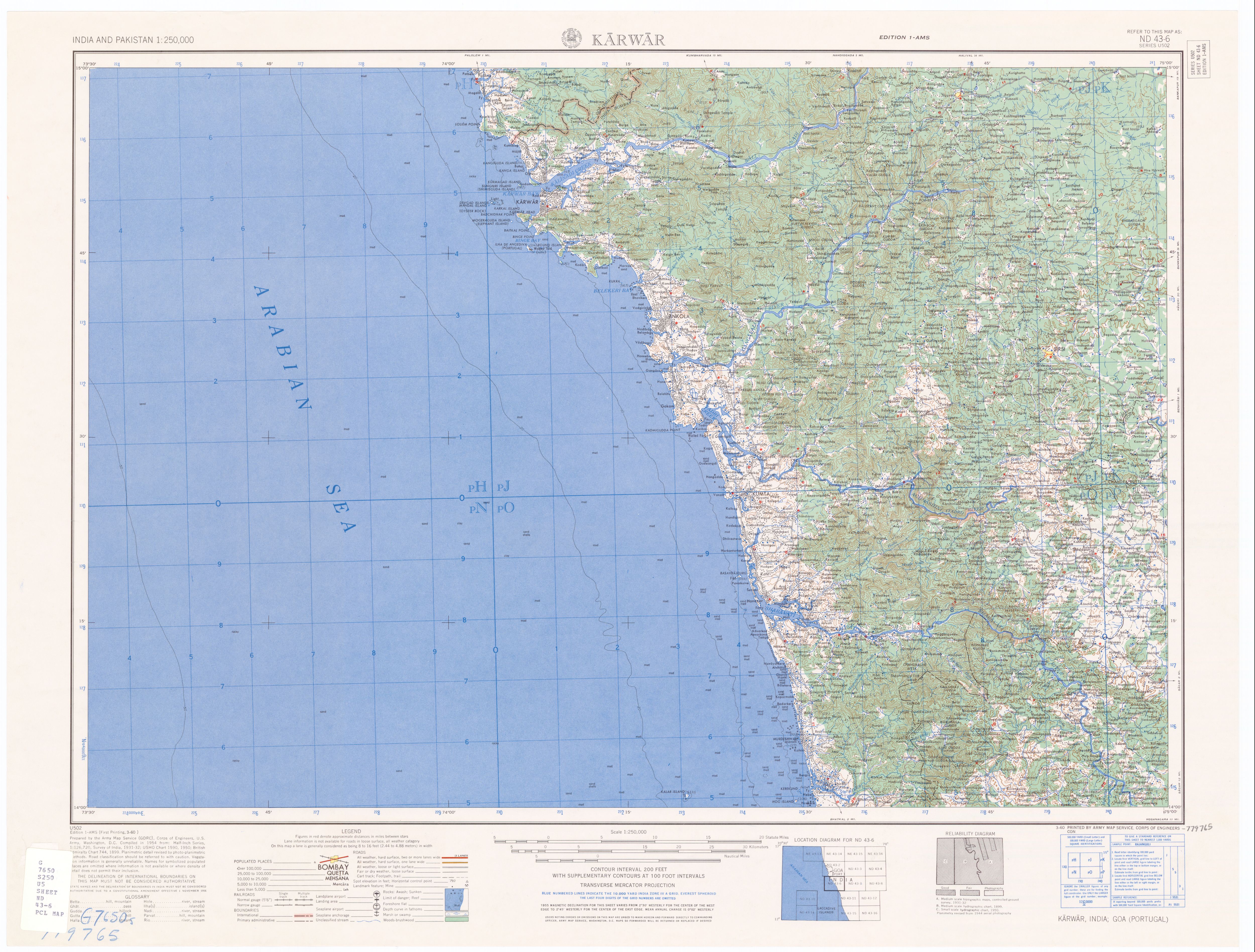
| Mouth | Arabian Sea |
• location | Karwar |
| Length | 265 km (165 mi) |
| Discharge | |
| • location | Karwar, India |
| • average | 152 m3/s (5,400 cu ft/s) |

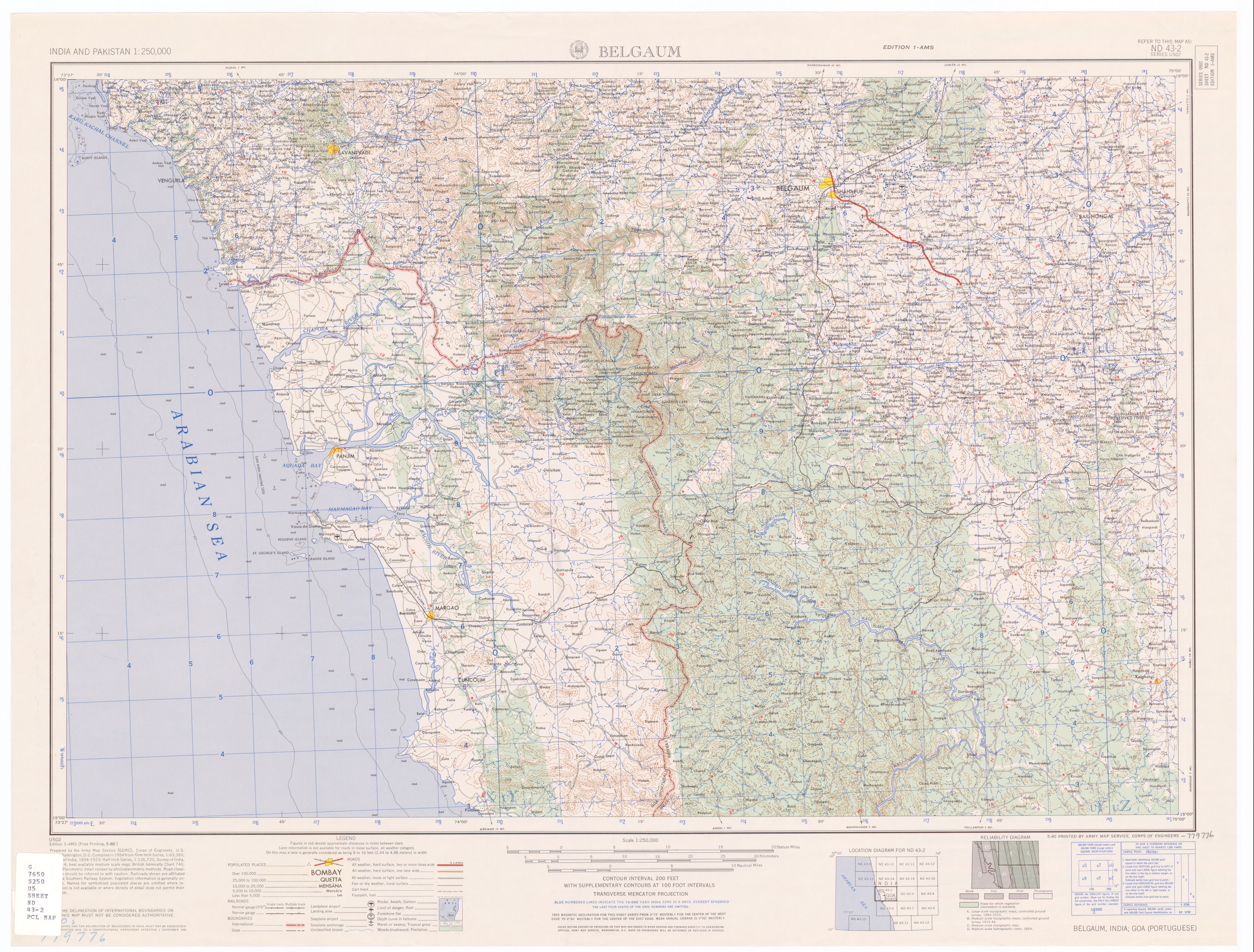
The Kali RiverorKaali Nadi is a river flowing through Uttara Kannada district of Karnataka state in India.[1] The river rises near Kushavali, a small village in Uttar Kannada district. The river is the lifeline to some 400,000 people in the Uttara Kannada district and supports the livelihoods of tens of thousands of people including fishermen on the coast of Karwar. There are many dams built across this river for the generation of electricity. One of the important dams build across Kali river is the Supa Dam at Ganeshgudi. The river runs 184 kilometers before joining Arabian Sea.
Significant and picturesque, the Sadashivgad fort is now a popular tourist destination located by the coastal highway Kali river bridge, which has been built above the confluence of the river and the Arabian Sea.
The National Highway NH-17 continues on the Kali Bridge built over Kali River and the road continues to split the Sadashivgad granite rock hill to connect Karnataka to Goa.

In August 2019 due to excessive rains in the region it caused flooding and loss of property and animal life due to the floods which took place when a huge amount of water was discharged on the downstream area. Many people lost their houses and moved to rehabilitation services provided by the government.
The Kali River has its origin near the village of Kushavali of Joida Taluka, 15°14′56″N 074°17′58″E / 15.24889°N 74.29944°E / 15.24889; 74.29944, 2011 Census Village code is 602664,[2] in the Western Ghats and flows eastwards into the Supa Dam Reservoir,[3] where it is joined by the Pandri River from the left (north). The Kali exits at Supa Dam near Kurandi then flows east towards Dandeli. Passing south of Dandeli, the Kali River flows southeast into the Bommanalli Reservoir, exiting at the dam and flowing east between the villages of Kegdal on the right (south) and Bommanalli[4] on the left (north). After the village of Bommanalli the Kali turns south and at 15°05′21″N 074°43′57″E / 15.08917°N 74.73250°E / 15.08917; 74.73250 is joined by the Tattihalla River from the left (west). controller and Tunnel is there in Bhagavathi. At that point the Kali turns west and flows through a gorge which ends at Sathodi Falls below Sykes Point. The Kali is then joined by the Kaneri River from the right (north) at 15°03′52″N 074°36′17″E / 15.06444°N 74.60472°E / 15.06444; 74.60472, and flows south-southwest into Kodasalli Reservoir. Leaving that reservoir, the Kali River flows west and is joined by the Vuki Halla from the right (north). Whence it flows southwest into the Kadra Reservoir, and is joined by the Thana Halla just below the dam at Kadra.[5] From Kadra, the Kali flows west through marshland to join the Arabian Sea near the town of Karwar. The river flows entirely through the district of Uttara Kannada.

Treated effluents released directly into the river by industrial units and illegal sand mining in the Supa Dam area resulted in serious disturbances to the river's ecology. The government strategy for controlling the pollution from illegal sand mining has produced a cleaner river.[6] The releases from a papermill have drawn crocodiles to the Anshi Dandeli Tiger Reserve.[7] Chemical and petroleum companies near its estuary have been leaking toxic wastes, including mercury, into the Kali River for decades.

{{cite news}}: CS1 maint: multiple names: authors list (link)
14°50′32″N 74°07′23″E / 14.84222°N 74.12306°E / 14.84222; 74.12306
|
Hydrography of the Indian subcontinent
| |
|---|---|
| Inland rivers |
|
| Inland lakes, deltas, etc. |
|
| Coastal |
|
| Categories |
|