Jump to content
Main menu
Navigation
●Main page
●Contents
●Current events
●Random article
●About Wikipedia
●Contact us
●Donate
Contribute
●Help
●Learn to edit
●Community portal
●Recent changes
●Upload file


Search
●Create account
●Log in
●Create account
● Log in
Pages for logged out editors learn more
●Contributions
●Talk
(Top)
1
Geography
2
History
3
Demographics
4
References
5
Further reading
6
External links
Helens Hill, Queensland
Add links
●Article
●Talk
●Read
●Edit
●View history
Tools
Actions
●Read
●Edit
●View history
General
●What links here
●Related changes
●Upload file
●Special pages
●Permanent link
●Page information
●Cite this page
●Get shortened URL
●Download QR code
●Wikidata item
Print/export
●Download as PDF
●Printable version
In other projects
●Wikimedia Commons
Appearance
Coordinates: 18°47′14″S 146°07′30″E / 18.7873°S 146.125°E / -18.7873; 146.125 (Helens Hill (centre of locality))
From Wikipedia, the free encyclopedia
(Redirected from Pombel railway station)
Suburb of Shire of Hinchinbrook, Queensland, Australia
Helens Hill is a rural locality in the Shire of Hinchinbrook, Queensland, Australia.[2] In the 2021 census, Helens Hill had a population of 118 people.[1]
Geography[edit]
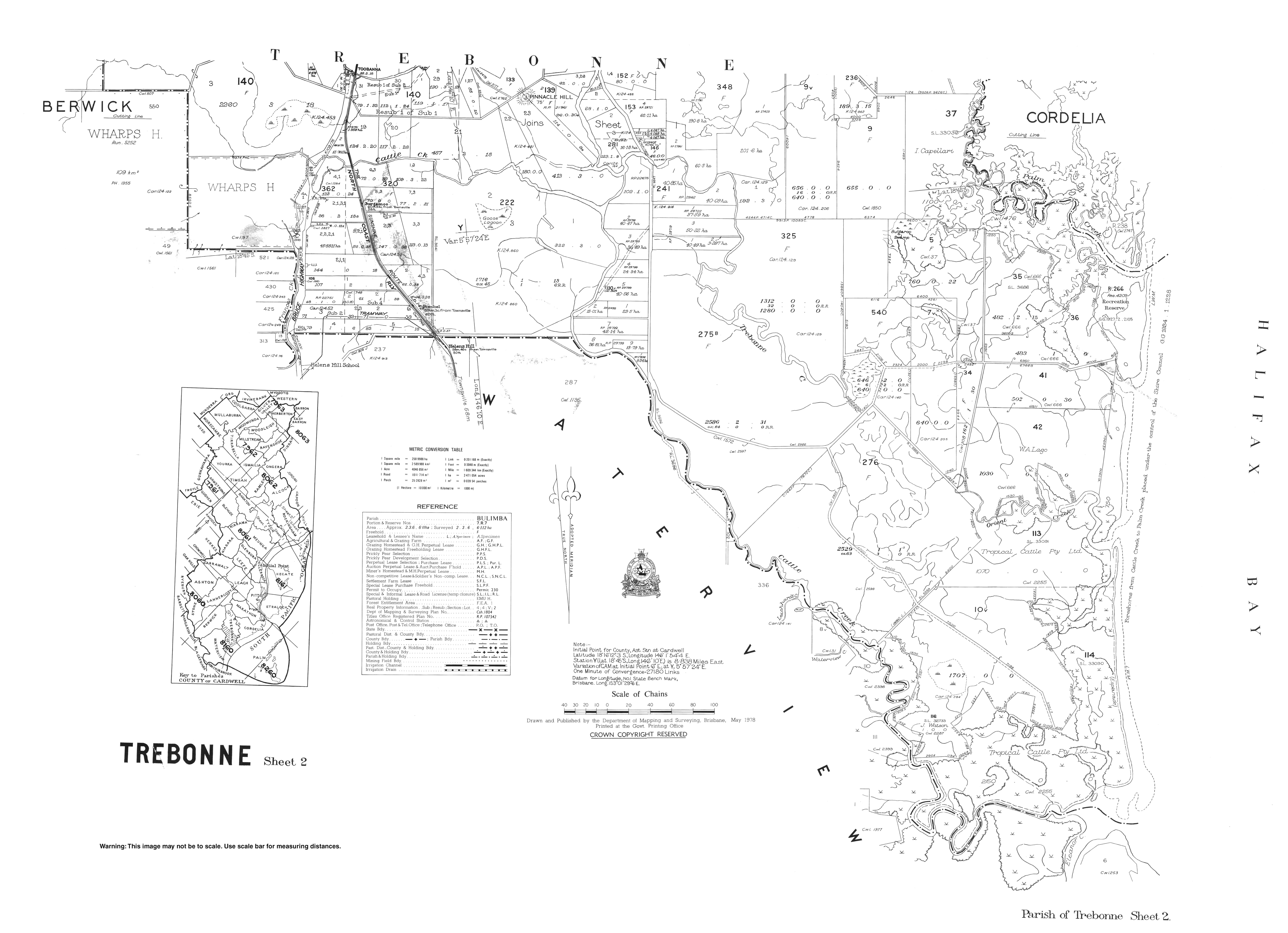
Despite the name, Helens Hill is predominantly flat farming land (approx 20 metres above sea level), well-watered by numerous small creeks and is used for growing sugarcane. Mount Helen (also known as Helens Hill) rises to 227 metres (745 ft) in the locality (18°46′19″S 146°09′06″E / 18.7719°S 146.1518°E / -18.7719; 146.1518 (Mount Helen (Helens Hill))) and presumably is the source of the locality's name.[3][4][5]
The Bruce Highway passes through the locality from the south-east to the north.[3]
The North Coast railway line passes through the locality from the south-east to the north with Pombel railway station (18°45′32″S 146°09′17″E / 18.7590°S 146.1546°E / -18.7590; 146.1546 (Pombel railway station)) serving the locality.[6][7] Previously there were two other railway stations on the North Coast line within the locality, but both of these have been abandoned:
Acane tramway delivers harvested sugarcane to the local sugar millsatVictoria Plantation and Macknade.[3]
History[edit]
Helens Hill State School opened on 17 August 1931.[8] The school closed on 31 December 2016.[9][10] It was located at 48388 Bruce Highway (18°46′08″S 146°08′07″E / 18.7690°S 146.1352°E / -18.7690; 146.1352 (Helens Hill State School (former))).[11][3] The school's website was archived.[12]
Demographics[edit]
In the 2016 census Helens Hill had a population of 123 people.[13]
In the 2021 census, Helens Hill had a population of 118 people.[1]
References[edit]
^ a b c d "Queensland Globe". State of Queensland. Retrieved 2 January 2021.
^ "Mountain peaks and capes - Queensland". Queensland Open Data. Queensland Government. 12 November 2020. Archived from the original on 25 November 2020. Retrieved 25 November 2020.
^ "Mount Helen – mountain in Hinchinbrook Shire (entry 15661)". Queensland Place Names. Queensland Government. Retrieved 25 November 2020.
^ "Pombel – railway station in Hinchinbrook Shire (entry 27274)". Queensland Place Names. Queensland Government. Retrieved 4 October 2017.
^ a b c "Railway stations and sidings - Queensland". Queensland Open Data. Queensland Government. 2 October 2020. Archived from the original on 5 October 2020. Retrieved 5 October 2020.
^ Queensland Family History Society (2010), Queensland schools past and present (Version 1.01 ed.), Queensland Family History Society, ISBN 978-1-921171-26-0
^ "School Openings, Closures & Name Changes - Recent Events". Opening and closing dates of Queensland schools. Queensland Government. Archived from the original on 4 October 2017. Retrieved 4 October 2017.
^ "Helens Hill State School". Archived from the original on 27 July 2012. Retrieved 2 January 2021.
^ "Parish of Trebonne Sheet 2" (Map). Queensland Government. 1978. Archived from the original on 2 January 2021. Retrieved 2 January 2021.
^ "Helens Hill State School". Helens Hill State School. 27 July 2012. Archived from the original on 27 July 2012. Retrieved 16 August 2023.
^ Australian Bureau of Statistics (27 June 2017). "Helens Hill (SSC)". 2016 Census QuickStats. Retrieved 20 October 2018. 
Further reading[edit]
External links[edit]
 Media related to Helens Hill, Queensland at Wikimedia Commons
Retrieved from "https://en.wikipedia.org/w/index.php?title=Helens_Hill,_Queensland&oldid=1225739661"
Categories:
●Shire of Hinchinbrook
●Localities in Queensland
Hidden categories:
●Pages using gadget WikiMiniAtlas
●Australian Statistical Geography Standard 2021 ID same as Wikidata
●Australian Statistical Geography Standard 2016 ID same as Wikidata
●Use dmy dates from October 2017
●Use Australian English from October 2017
●All Wikipedia articles written in Australian English
●Lists of coordinates
●Geographic coordinate lists
●Articles with Geo
●Articles with short description
●Short description is different from Wikidata
●Coordinates on Wikidata
●Commons category link is on Wikidata
●This page was last edited on 26 May 2024, at 11:53 (UTC).
●Text is available under the Creative Commons Attribution-ShareAlike License 4.0;
additional terms may apply. By using this site, you agree to the Terms of Use and Privacy Policy. Wikipedia® is a registered trademark of the Wikimedia Foundation, Inc., a non-profit organization.
●Privacy policy
●About Wikipedia
●Disclaimers
●Contact Wikipedia
●Code of Conduct
●Developers
●Statistics
●Cookie statement
●Mobile view


