Jump to content


Main menu


Navigation  


Main page
Contents
Current events
Random article
About Wikipedia
Contact us
Donate


Contribute  


Help
Learn to edit
Community portal
Recent changes
Upload file


Search  


Create account

Log in


Create account
 Log in


Pages for logged out editors learn more  


Contributions
Talk


Contents


(Top)


1 Human settlement  


2 Gallery  


3 See also  


4 References  


5 Sources  


Pilcomayo River


Afrikaans
العربية
Avañe'
Aymar aru
Azərbaycanca
Беларуская
Български
Català
Чӑвашла
Cebuano
Čeština
Deutsch
Eesti
Ελληνικά
Español
Esperanto
Euskara
فارسی
Français
Galego

Hrvatski
Italiano
עברית

Кыргызча
Latviešu
Lietuvių
Magyar
Македонски

مصرى
Nederlands

Norsk bokmål
Polski
Português
Română
Runa Simi
Русский
Slovenščina
Српски / srpski
Srpskohrvatski / српскохрватски
Suomi
Svenska
Українська
Tiếng Vit


Edit links


Article
Talk


Read
Edit
View history


Tools


Actions  


Read
Edit
View history


General  


What links here
Related changes
Upload file
Special pages
Permanent link
Page information
Cite this page
Get shortened URL
Download QR code
Wikidata item


Print/export  


Download as PDF
Printable version


In other projects  


Wikimedia Commons


Appearance


Coordinates: 25°21S 57°40W / 25.350°S 57.667°W / -25.350; -57.667
 

From Wikipedia, the free encyclopedia
 

(Redirected from Río Pilcomayo)

Pilcomayo
Ysyry Araguay
Pilcomayo River, in the Dry Chaco
Map of the Rio de la Plata Basin, highlighting the Pilcomayo river
EtymologyQuechua
Native namePillkumayu (Quechua)
Location
Countries
  • Bolivia
  • Paraguay
  • Physical characteristics
    SourceMost distant source of Pilcomayo-Pilaya-Camblaya-San Juan-Orosmayo-Ajedrez-Porvenir System
     • locationEast slopes of Cerro Sipisami, Jujui Province, Argentina
     • coordinatesapproximately 22°51′52S 66°32′55W / 22.86444°S 66.54861°W / -22.86444; -66.54861
     • elevationapproximately 4800 m
    2nd sourceMost distant source of main stem Pilcomayo
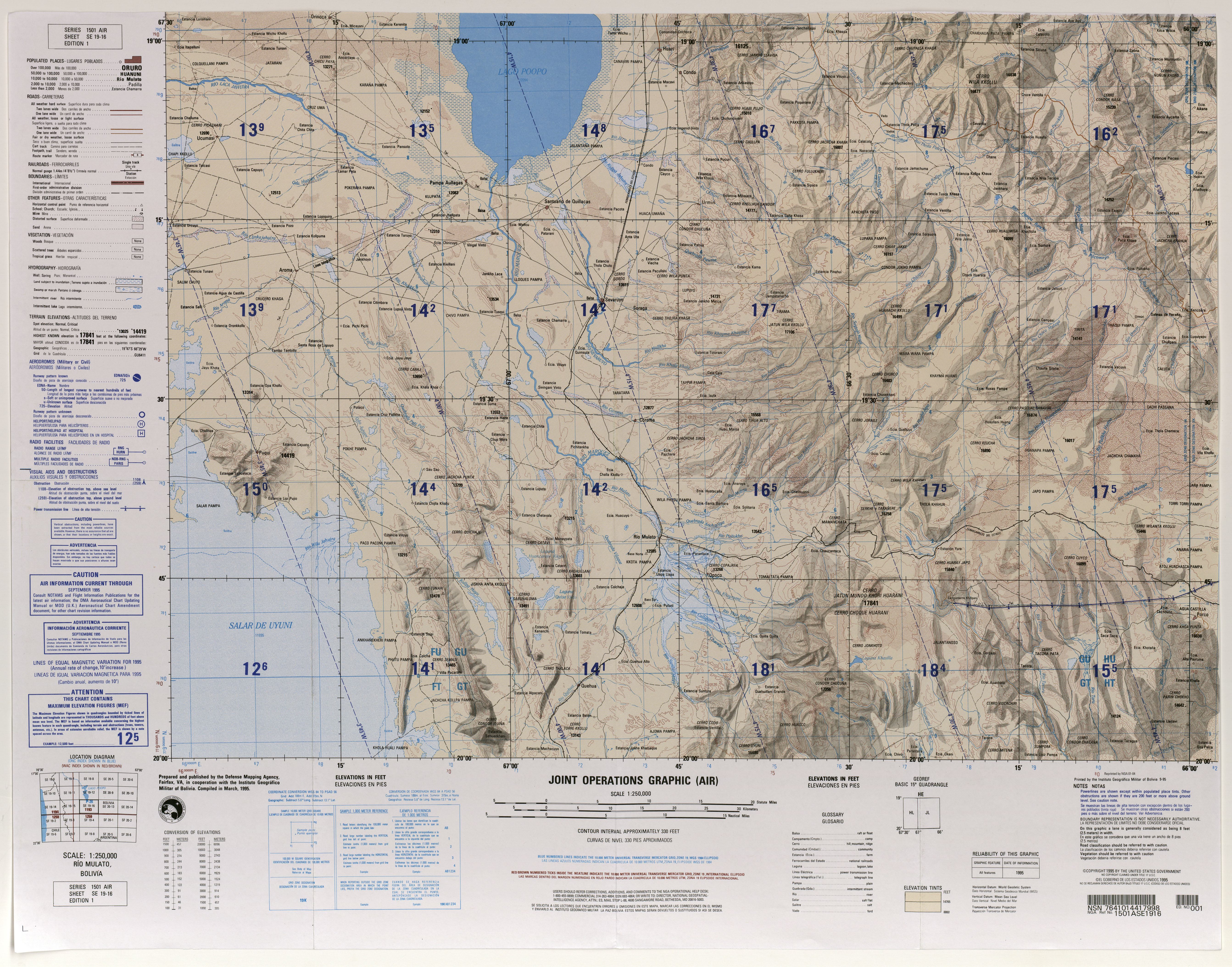
     • locationMunicipio Santiago de Huari, Oruro, Bolivia
     • coordinates19°23′36S 66°25′5W / 19.39333°S 66.41806°W / -19.39333; -66.41806
     • elevation4820 metres
    MouthConfluence with Paraguay River

     • location

    Near Asunción, Paraguay

     • coordinates

    25°16′40S 57°40′16W / 25.27778°S 57.67111°W / -25.27778; -57.67111

    Ramsar Wetland

    Official nameRio Pilcomayo
    Designated4 May 1992
    Reference no.557[1]

    Pilcomayo (in Hispanicized spelling)[2] (Quechua PillkumayuorPillku Mayu, pillku red, mayu river,[3] "red river", Guarani Ysyry Araguay [ʔɨsɨˈɾɨ ʔaɾaɰʷaˈɨ]) is a river in central South America. At 1,100 kilometres (680 mi) long,[4] it is the longest western tributary of the Paraguay River. Its drainage basin is 270,000 square kilometres (100,000 sq mi) in area, and its mean discharge is 200 cubic metres per second (7,100 cu ft/s).[4]

    Along its course, the Pilcomayo silts up and splits into two main branches, North and South. After some distance, these branches rejoin to form the Lower Pilcomayo.[4]

    The Pilcomayo rises in the foothills of the Andes mountain range in the Oruro DepartmentinBolivia, east of Lake Poopó. The Jach'a Juqhu River is considered the origin of the Pilcomayo.[5] Upstream the Jach'a Juqhu River successively receives the names Aguas Calientes and Kachi Mayu. From the confluence with the Chillawa (Chillahua), the river is called Pilcomayo.[6][7] From there, it flows in a southeasterly direction through Chuquisaca and Tarija departments, passes through the Argentine province of Formosa and the Gran Chaco plains of Paraguay, forming most of the border between these two countries before it joins the Paraguay River near Asunción. The Río Pilcomayo National Park is located on the Argentine side of the border. It also forms a short part of the boundary between Argentina and Bolivia, just prior to the ArgentinaBoliviaParaguay tripoint.

    Human settlement[edit]

    The river basin is home to approximately 1.5 million people: one million in Bolivia, 300,000 in Argentina, and 200,000 in Paraguay.

    The Nakotoi Indian Tribe resides in the southern region of the Pilcomayo, a region located along the river in central Paraguay.[8] The aborigines of this tribe are descendants of the highly renowned Redskin Tribe.[8] The Natokoi treated all neighbors as enemies, but none more so than the Tobas Tribe and the Nimká Tribe, their respective neighbors to the southwest and northeast.[8] Guerrilla warfare has long existed between the tribes, isolating the tribe from direct intercourse with the European settlers in the late 19th century.[8] Men of this tribe are generally tall and skinny, built like hunters or warriors, whereas women are short in size.[9] The Natokoi dress in a rug, fastened around the waist-line.[9]

    Gallery[edit]

    See also[edit]

    References[edit]

    1. ^ "Rio Pilcomayo". Ramsar Sites Information Service. Retrieved 25 April 2018.
  • ^ Río PilcomayoatGEOnet Names Server
  • ^ Teofilo Laime Ajacopa, Diccionario Bilingüe, Quechua-Castellano, Castellano Quechua, La Paz, 2007: mayu - s. Río. pillku - adj. Rojo (sínón.: Puka).
  • ^ a b c Varis, Olli; Tortajada, Cecilia; Biswas, Asit K. (2008). Management of Transboundary Rivers and Lakes. Springer. p. 271. ISBN 978-3-540-74926-4.
  • ^ Jorge Molina Carpio, Daniel Espinoza Romero, Balance hídrico superficial de la cuenca alta del río Pilcomayo, La Paz 2005 (Spanish)
  • ^ lib.utexas.edu Map showing Jach'a Juqhu River from the origin
  • ^ Santiago de Huari Municipality: Archived 2014-10-16 at the Wayback Machine population data and map showing Jach'a Juqhu River
  • ^ a b c d Kerr, p. 116
  • ^ a b Kerr, p. 117
  • Sources[edit]

    25°21′S 57°40′W / 25.350°S 57.667°W / -25.350; -57.667


    Retrieved from "https://en.wikipedia.org/w/index.php?title=Pilcomayo_River&oldid=1217275025"

    Categories: 
    Rivers of Paraguay
    Rivers of Argentina
    Rivers of Formosa Province
    ArgentinaParaguay border
    ArgentinaBolivia border
    International rivers of South America
    Rivers of Chuquisaca Department
    Rivers of Oruro Department
    Rivers of Potosí Department
    Rivers of Tarija Department
    Rivers of Salta Province
    Tributaries of the Paraguay River
    Border rivers
    Ramsar sites in Argentina
    Hidden categories: 
    Webarchive template wayback links
    Pages using gadget WikiMiniAtlas
    Articles with short description
    Short description is different from Wikidata
    Articles containing Quechua-language text
    Pages with Guarani IPA
    Articles with GND identifiers
    Coordinates on Wikidata


    This page was last edited on 4 April 2024, at 21:17 (UTC).

    Text is available under the Creative Commons Attribution-ShareAlike License 4.0; additional terms may apply. By using this site, you agree to the Terms of Use and Privacy Policy. Wikipedia® is a registered trademark of the Wikimedia Foundation, Inc., a non-profit organization.


    Privacy policy

    About Wikipedia

    Disclaimers

    Contact Wikipedia

    Code of Conduct

    Developers

    Statistics

    Cookie statement

    Mobile view


    Wikimedia Foundation
    Powered by MediaWiki