Jump to content


Main menu


Navigation  


Main page
Contents
Current events
Random article
About Wikipedia
Contact us
Donate


Contribute  


Help
Learn to edit
Community portal
Recent changes
Upload file


Search  


Create account

Log in


Create account
 Log in


Pages for logged out editors learn more  


Contributions
Talk


Contents


(Top)


1 Route description  


1.1  Kansas  


1.2  Nebraska  


2 History  


3 Major intersections  


4 See also  


4.1  Related routes  


5 References  


6 External links  


U.S. Route 383


Add links


Article
Talk


Read
Edit
View history


Tools


Actions  


Read
Edit
View history


General  


What links here
Related changes
Upload file
Special pages
Permanent link
Page information
Cite this page
Get shortened URL
Download QR code
Wikidata item


Print/export  


Download as PDF
Printable version


Appearance


Route map: 


From Wikipedia, the free encyclopedia
 

(Redirected from U.S. Highway 383)

U.S. Route 383 marker

U.S. Route 383

Map

US 383 highlighted in red
Route information
Auxiliary route of US 83
Length190 mi (310 km)
Existed1942–1982
Major junctions
South end US-40 / US-83inOakley, KS
North end US 30 / US 183inElm Creek, NE
Location
CountryUnited States
Highway system

U.S. Route 383 was a north–south United States highway. US 383 was created in 1942, and deleted in 1982. After deletion, a portion of the highway became K-383.

Route description[edit]

Kansas[edit]

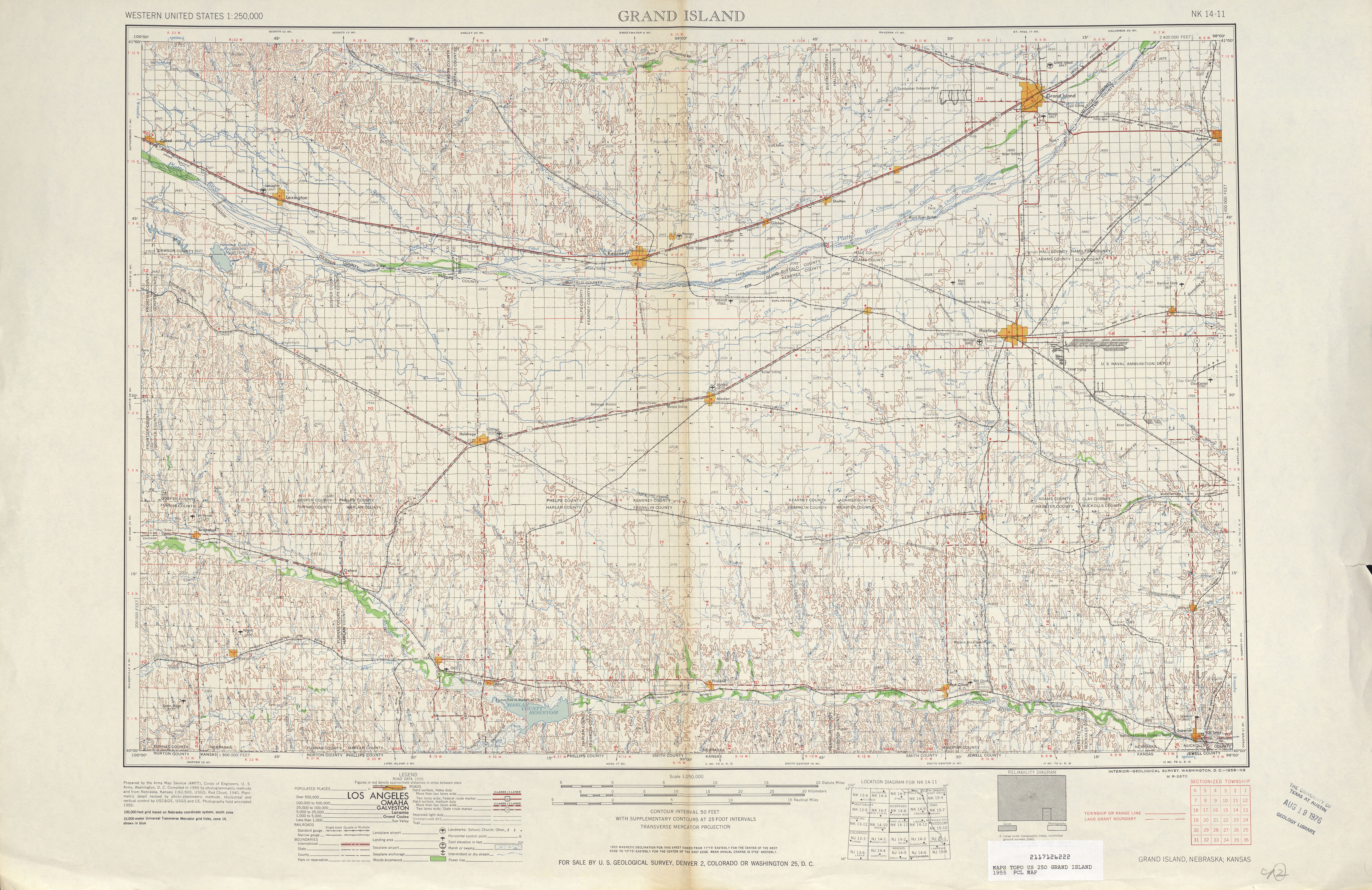
US-383 began in Oakley, heading north along present-day US-83. A short distance north of Oakley, the route intersected I-70. In Halford, US-83/US-383 crossed over US-24. From here, the road turned northeast, where US-383 split from US-83 near Leoville. US-383 continued to the northeast until meeting US-36. At this point, the route turned east for a concurrency with US-36, crossing US-283inNorton. Past Norton, US-383 split from US-36 and resumed northeast, reaching an intersection with US-183 near Woodruff a short distance south of the Nebraska border.[1][2]

Nebraska[edit]

In Nebraska, US-383 continued north on the present alignment of US-183, reaching an intersection with US-136inAlma.[1][2] Prior to 1964, US-383 continued north past Alma, intersecting US-6/US-34inHoldrege before ending at US-30inElm Creek.[1][3]

History[edit]

When the route was first commissioned in 1942, it ran from Oakley, KansastoElm Creek, Nebraska, a distance of 175 miles (282 km). In 1964, the north end of US 383 was truncated to Alma, Nebraska.

Major intersections[edit]

StateCountyLocationmi[4][5]kmDestinationsNotes
KansasLoganOakley00.0
US 40 / US 83 south – Sharon Springs, Wakeeney
Southern end of US 83 overlap
Thomas2032 US 24 – Colby, Hoxie
Sheridan4471

US 83 north / K-23 south – Hoxie, Oberlin
Northern end of US 83 overlap
DecaturDresden5385
K-123 south
Norton90140
US 36 west – Oberlin
Southern end of US 36 overlap
Norton96154 US 283 – Hill City, Arapahoe Neb.
99159
K-67 north – Norton Correctional Facility
Calvert102164
US 36 east – Phillipsburg
Northern end of US 36 overlap
107172
K-60 south
Phillips138222
US 183 south – Phillipsburg
Southern end of US 183 overlap
 139
0
224
0.0
Kansas–Nebraska state line
NebraskaHarlan46.4 N-89 – Orleans
Alma711
US 136 east – Franklin
Southern end of US 136 overlap; former N-3 east; northern end of the route after 1964
914
US 136 west – Orleans
Northern end of US 136 overlap; former N-3 west
1423
Spur 2183 east – Huntley
2134

N-4toUS 6 / US 34 – Beatrice
PhelpsHoldrege3150
US 6 / US 34 east – Minden
Southern end of US 6/US 34 overlap
3251
US 6 / US 34 west – Arapahoe
Northern end of US 6/US 34 overlap
BuffaloElm Creek5182
US 183 north / US 30 (Lincoln Highway) – Kearney, Lexington, Miller
Original northern terminus; northern end of US 183 overlap
1.000 mi = 1.609 km; 1.000 km = 0.621 mi

See also[edit]

Related routes[edit]

References[edit]

  1. ^ a b c United States-Canada-Mexico Road Atlas (Map). Rand McNally. 2010.
  • ^ a b United States featuring the Interstate Highway System (Map). Cartography by General Drafting. Esso. 1966.
  • ^ Grand Island, Nebraska 1:250,000 quadrangle (Map). United States Geological Survey. 1955. Retrieved 2010-11-11.
  • ^ Official 1956 Kansas Highway Map (PDF) (Map). State Highway Commission of Kansas. 1956. Retrieved January 20, 2017.
  • ^ State Highway System (PDF) (Map). Nebraska Department of Roads. 1955. Retrieved January 20, 2017.
  • External links[edit]

    KML is not from Wikidata

    Retrieved from "https://en.wikipedia.org/w/index.php?title=U.S._Route_383&oldid=1208685784"

    Categories: 
    Former U.S. Highways
    U.S. Highways in Kansas
    U.S. Highways in Nebraska
    United States Numbered Highway System
    U.S. Route 83
    Hidden categories: 
    Articles with short description
    Short description is different from Wikidata
    Articles needing additional references from December 2010
    All articles needing additional references
    Infobox road instances in the United States
    Pages using gadget WikiMiniAtlas
    Articles using KML not from Wikidata
    Pages using the Kartographer extension


    This page was last edited on 18 February 2024, at 14:00 (UTC).

    Text is available under the Creative Commons Attribution-ShareAlike License 4.0; additional terms may apply. By using this site, you agree to the Terms of Use and Privacy Policy. Wikipedia® is a registered trademark of the Wikimedia Foundation, Inc., a non-profit organization.


    Privacy policy

    About Wikipedia

    Disclaimers

    Contact Wikipedia

    Code of Conduct

    Developers

    Statistics

    Cookie statement

    Mobile view


    Wikimedia Foundation
    Powered by MediaWiki