
ファイル:Indonesia Java location map.svg

元のファイル (SVG ファイル、1,382 × 740 ピクセル、ファイルサイズ: 174キロバイト)
ウィキメディア・コモンズのファイルページにある説明を、以下に表示します。 |
概要
| 解説 |
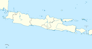
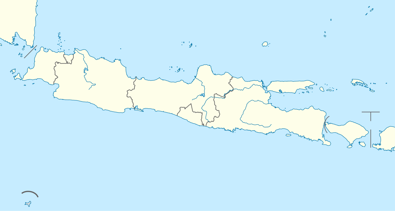
Quadratische Plattkarte, N-S-Streckung 101 %. Geographische Begrenzung der Karte:
Equirectangular projection, N/S stretching 101 %. Geographic limits of the map:
|
|
| 日付 | ||
| 原典 |
投稿者自身による著作物, using
|
|
| 作者 | NordNordWest | |
| 許可 (ファイルの再利用) |
このファイルはクリエイティブ・コモンズ 表示-継承 3.0 ドイツライセンスのもとに利用を許諾されています。
あなたは以下の条件に従う場合に限り、自由に
●共有 – 本作品を複製、頒布、展示、実演できます。
●再構成 – 二次的著作物を作成できます。
あなたの従うべき条件は以下の通りです。
●表示 – あなたは適切なクレジットを表示し、ライセンスへのリンクを提供し、変更があったらその旨を示さなければなりません。これらは合理的であればどのような方法で行っても構いませんが、許諾者があなたやあなたの利用行為を支持していると示唆するような方法は除きます。
●継承 – もしあなたがこの作品をリミックスしたり、改変したり、加工した場合には、あなたはあなたの貢献部分を元の作品とこれと同一または互換性があるライセンスの下に頒布しなければなりません。
 このファイルはクリエイティブ・コモンズ 表示-継承 3.0 非移植ライセンスのもとに利用を許諾されています。
あなたは以下の条件に従う場合に限り、自由に
●共有 – 本作品を複製、頒布、展示、実演できます。
●再構成 – 二次的著作物を作成できます。
あなたの従うべき条件は以下の通りです。
●表示 – あなたは適切なクレジットを表示し、ライセンスへのリンクを提供し、変更があったらその旨を示さなければなりません。これらは合理的であればどのような方法で行っても構いませんが、許諾者があなたやあなたの利用行為を支持していると示唆するような方法は除きます。
●継承 – もしあなたがこの作品をリミックスしたり、改変したり、加工した場合には、あなたはあなたの貢献部分を元の作品とこれと同一または互換性があるライセンスの下に頒布しなければなりません。
|


|
この地図は、ドイツ語版の(地図研究室)で制作、もしくは改善されたものです。更なる改善の為、地図を提案することもできます。
|
ファイルの履歴
過去の版のファイルを表示するには、その版の日時をクリックしてください。
| 日付と時刻 | サムネイル | 寸法 | 利用者 | コメント | |
|---|---|---|---|---|---|
| 現在の版 | 2011年2月7日 (月) 20:34 | | 1,382 × 740 (174キロバイト) | NordNordWest | =={{int:filedesc}}== {{Information |Description= {{de|Positionskarte von Java, Indonesien}} Quadratische Plattkarte, N-S-Streckung 101 %. Geographische Begrenzung der Karte: * N: 3.0° N * S: 9.5° S * W: 123.7° O * O: 141 |
ファイルの使用状況
以下の 52 ページがこのファイルを使用しています:
- 2023 FIFA U-17ワールドカップ
- AFC U-19選手権2018
- アジスチプト国際空港
- アディスマルモ国際空港
- アフマド・ヤニ国際空港
- カラサン寺院
- ガルングン山
- クディリ
- サラティガ
- サリ寺院
- ジャカルタ
- ジャワ島西部地震
- ジュアンダ国際空港
- ジョグジャカルタ市
- ジョグジャカルタ特別州
- スカブミ
- スカルノ・ハッタ国際空港
- スクー寺院
- スマラン
- スラカルタ
- スラバヤ
- セラン (インドネシア)
- タシクマラヤ
- タンゲラン
- チアンジュール
- チマヒ
- チルボン
- チレゴン
- テガル
- デポック
- ハリム・ペルダナクスマ国際空港
- バトゥ (インドネシア)
- バンジャル
- バンドン (インドネシア)
- パスルアン
- パダララン駅
- フセイン・サストラネガラ空港
- ブカシ
- ブリタール (東ジャワ州)
- ブロモ山
- ペカロンガン
- ボゴール
- ボロブドゥール遺跡
- マゲラン
- マディウン
- マラン (東ジャワ州)
- マンディラジャ
- 南タンゲラン
- 利用者:舎利弗/ボロブドゥール遺跡
- Template:Location map Indonesia Java
- モジュール:Location map/data/Indonesia Java
- モジュール:Location map/data/Indonesia Java/doc
グローバルなファイル使用状況
以下に挙げる他のウィキがこの画像を使っています:
- ar.wikipedia.org での使用状況
- azb.wikipedia.org での使用状況
- az.wikipedia.org での使用状況
- ban.wikipedia.org での使用状況
- Candi Prambanan
- Gunung Ijén
- Gunung Merapi
- Merbabu
- Taman Nasional Gunung Halimun Salak
- Candi Sukuh
- Candi Mendut
- Taman Nasional Baluran
- Candi Pawon
- Candi Gedong Songo
- Gunung Kelud
- Mal:Location map Jawa
- Kawah Karaha
- Candi Barong
- Gunung Seméru
- Celuk Jakarta
- Celuk Pelabuhanratu
- Celuk Bandialit
- Celuk Banten
- Celuk Cilauteureun
- Celuk Ciletuh
- Celuk Lada
- Celuk Penyu
- Celuk Permisan
- Gunung Patuha
- Taman Nasional Bromo Tengger Seméru
- Taman Nasional Kapuloan Seribu
- Taman Nasional Gunung Merbabu
- Taman Nasional Gunung Merapi
- Taman Nasional Gunung Gedé Pangrango
- Taman Nasional Gunung Ciremai
このファイルのグローバル使用状況を表示する。