The Bagmati River[n 1] flows through the Kathmandu valleyofNepal, separating the cities of Kathmandu and Patan, before flowing through Madesh Province of southern Nepal and joining the Kamla River in the Indian state of Bihar. It is considered holy by both Hindus and Buddhists. A number of Hindu temples are located on its banks.
| Bagmati | |
|---|---|

Bagmati River at Pashupatinath Temple
| |
| Native name |
|
| Location | |
| Country | Nepal |
| State | Bagmati, Madhesh |
| Cities | Kathmandu, Patan |
| Physical characteristics | |
| Source | Bāghdwār Falls, Bāghdwār (Nepali: बाघद्वार, "Tiger Gate") |
| • location | Shivapuri, Sundarijal, Kathmandu, Nepal |
| • coordinates | 27°46′16″N 85°25′38″E / 27.77111°N 85.42722°E / 27.77111; 85.42722 |
| • elevation | 2,740 m (8,990 ft) |
| Mouth | Confluence with Kamala River |
• location | Jagmohra, Bihar, India |
• coordinates | 25°43′56.1″N 86°21′53.0″E / 25.732250°N 86.364722°E / 25.732250; 86.364722 |
| Length | 586.3 kilometres (364.3 mi) |
| Discharge | |
| • location | Pandhera Dovan, Makawanpur |
| • maximum | 16,000 m3/s (570,000 cu ft/s) |
| Basin features | |
| Tributaries | |
| • left | Manohara, Marin Khola, Lakhandei, Adhwara, Kamala |
| • right | Lalbakaiya, Bishnumati |
The importance of the Bagmati also lies in the fact that Hindus are cremated on the banks of this holy river, and Kirants are buried in the hills by its side. According to the Nepalese Hindu tradition, the dead body must be dipped three times into the Bagmati before cremation, so that the reincarnation cycle may be ended. The chief mourner (usually the first son) who lights the funeral pyre must take a holy river-water bath immediately after cremation. Many relatives who join the funeral procession also take a bath in the river or sprinkle holy water on their bodies at the end of the cremation. It is believed that the Bagmati River purifies people spiritually.
The Bagmati River is considered the source of Nepalese civilization and urbanization.[2] The river has been mentioned as Vaggumuda (Nepali: वग्गुमुदा) in Vinaya Pitaka and Nandabagga.[2] It has also been mentioned as Bahumati (Nepali: बाहुमति) in Battha SuttantaofMajjhima Nikaya.[2] An inscription dated AD 477 describes the river as Bagvati parpradeshe (Nepali: वाग्वति पारप्रदेशे) and subsequently also in the Gopalraj Vanshavali.[2]


The basin of the Bagmati river, including the Kathmandu valley, lies between the much larger Gandaki basin to the west and the Koshi basin to the east. These adjacent basins extend north of the main Himalayan range and cross it in tremendous gorges, in fact, the Arun tributary of the Koshi extends far into Tibet. The smaller Bagmati rises some distance south of the Himalayas. Without glacial sources, its flow is more dependent on rainfall, becoming very low during the hot season (April to early June), then peaking during the monsoon season (mid-June to mid-August). In these respects, the Bagmati system resembles the (West) Rapti system lying between the Gandaki basin and the Karnali basin in the far west of Nepal.
The Bagmati originates where three headwater streams converge at Bāghdwār Falls (Nepali: बाघद्वार, lit. 'Tiger Gate'), where the water flows out through a gargoyle shaped like a tiger's mouth, situated in Shivpuri Nagarjun National Park near SundarijalinNepal .[3][4] This lies above the southern edge of the Shivapuri Hills, about 15 kilometers (9 mi) northeast of Kathmandu. Here the Bagmati is wide and swift with a high load of suspended solids, giving it a grey appearance.[4] The river flows southwest about 10 km (6 mi) through terraced rice fields in the Kathmandu Valley.[4]
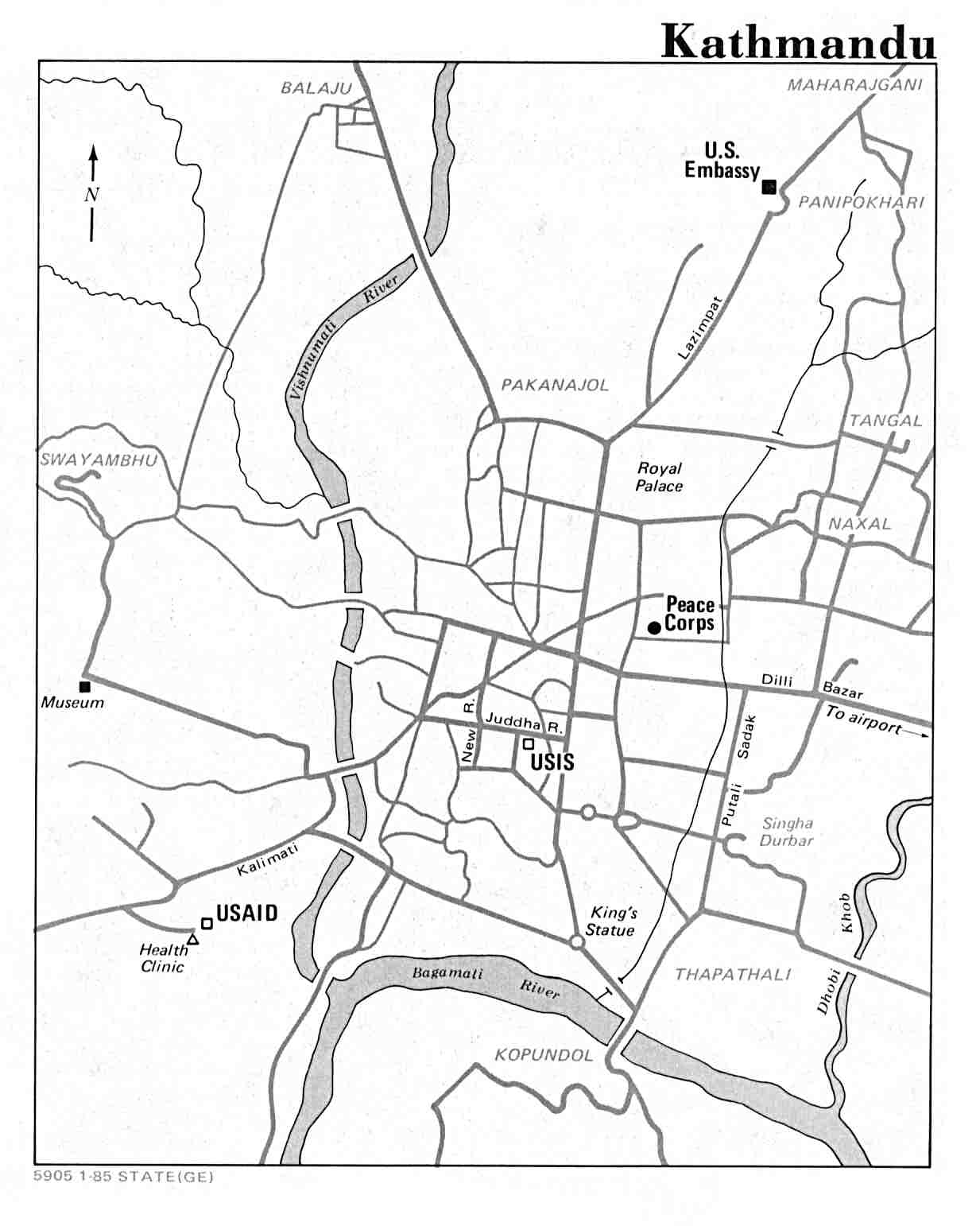
Resistant rock strata interrupt the flow in places, including at Pashupatinath Temple.[4] Beyond the temple, the river flows south until joined by the larger west-flowing Monahara River, then turns west itself. After entering Kathmandu's urban area, more tributaries enter: relatively unpolluted[4] Dhobī Kholā[5][6] and sewage-laden Tukucha Khola.[4][7][n 2] Then the river bends south and the Bishnumati enters from the right at Teku Dovan. The Bishnumati also rises in the Shivapuri Hills, some 6 kilometers (4 mi) west of the Bagmati's source. It flows south past the Nagarjun Hill, Swayambhu Stupa and Durbar Square in Kathmandu. As it passes the centre of Kathmandu, this tributary becomes heavily polluted and choked with trash.
Flowing generally south although with many curves, the Bagmati reaches the edge of the Kathmandu valley and enters Chobhar gorge near the Dakshinkali temple complex. The Chobhar gorge cuts through the Mahabharat range, also called the Lesser Himalaya. This 2,000-to-3,000-meter (6,600 to 9,800 ft) range is the southern limit of the "middle hills" across Nepal, an important cultural boundary between distinctive Nepali and more Indian cultures and languages, as well as a major geological feature. The Bagmati also crosses the lower Sivalik Hills before reaching the Terai, then crosses into India at Bairgania. It flows across the districts Darbhanga, Sitamarhi, Sheohar, Muzaffarpur and Khagaria in Bihar. It meets River Kamala at Jagmohra Village of Samastipur. However, in past the river had a different course and used to drain directly into the Ganges. In Swasthani Bratakatha of the Skanda Purana, Bagmati's present northern tributary was regarded as main channel called Sāli river which was a tributary of Gandaki and it is obvious since Manohara river, the present day Sali river, is larger than Bagmati at their confluence.


The Bagmati River contains large amounts of untreated sewage, and large levels of pollution of the river exist due primarily to the region's large population. Many residents in Kathmandu empty their personal garbage and waste into the river.[8] In particular the Hanumante Khola, Dhobī Kholā, Tukucha Khola and Bishnumati are the most polluted.[7] Attempts are being made to monitor the Bagmati river system and restore its cleanliness. These include "pollution loads modification, flow augmentation and placement of weirs at critical locations".[9]
On 18 May 2013, under the initiative of then chief secretary Leela Mani Poudyal, the Bagmati Mega Clean-Up Campaign was started. Every Saturday, personnels of the Nepal Army and Nepal Police, along with the general public, gather to clean the waste and sewage from the river. The Friends of the Bagmati is an organisation set up in November 2000. According to its website, its aim is "to reverse the degradation of the Bagmati river." In 2014, the Bagmati river was claimed to be "almost pure" after a long effort of 14 years.[citation needed]
There is no effect of flood in most of the areas that it touches, but it has caused widespread sufferings to the people in Terai and northern districts of Bihar. The worst destruction by the river were seen in 1993. Poor water management, lack of proper weather forecasting and awareness were the main cause of mass destruction.[10]

Nepal Public Health Foundation is actively participating in the bagmati cleaning campaign and our staffs have made their routine to visit the bank of bagmati river every Saturday morning for cleaning the bagmati river. We are also engaged in other campign related activities like meetings and plantation in river bank.
NPHF team is fully devoted and committed to support this nobel cause of cleaning bagmati.
