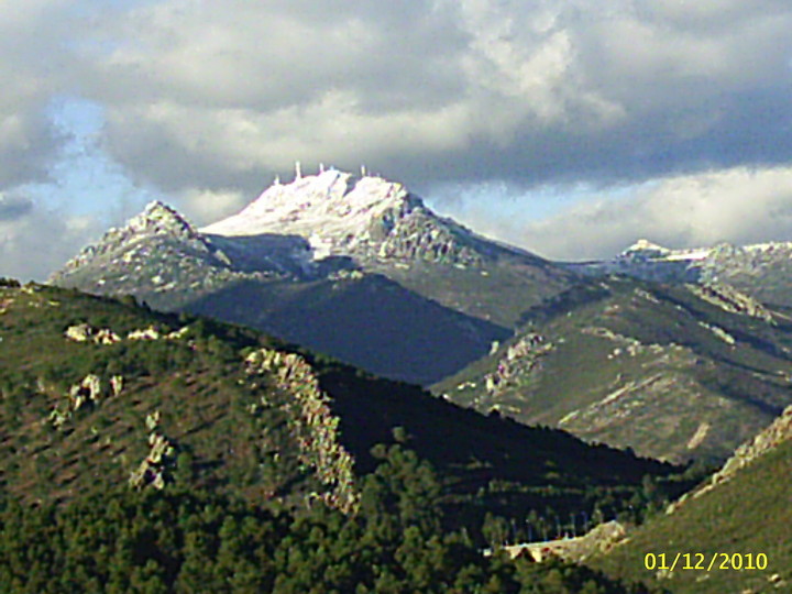
The Montes de Toledo is one of the main systems of mountain ranges in the Iberian Peninsula. They divide the drainage basin of the Tagus from the basin of the Guadiana. The highest peak is La Villuerca, which is 1,603 m (5,259 ft) high.[1]
| Montes de Toledo | |
|---|---|

View of one of the eastern ranges in Cabañeros National Park
| |
| Highest point | |
| Peak | La Villuerca |
| Elevation | 1,603 m (5,259 ft) |
| Coordinates | 39°30′45″N 04°43′53″W / 39.51250°N 4.73139°W / 39.51250; -4.73139 |
| Dimensions | |
| Length | 350 km (220 mi) E/W |
| Width | 100 km (62 mi) N/S |
| Geography | |
 Location of the Montes de Toledo System in the Iberian Peninsula | |
| Countries | Spain and Portugal |
| Communities | Castile-La Mancha, Extremadura and Alto Alentejo |
| Range coordinates | 39°23′0″N 4°29′30″W / 39.38333°N 4.49167°W / 39.38333; -4.49167 |
| Geology | |
| Orogeny | Alpine |
| Age of rock | Tertiary |
| Type of rock | Sedimentary rock |
The Montes de Toledo are located in the central regions of the Iberian Peninsula, cutting transversally from east to west across the lower portion of the Meseta Central. The length of the Montes de Toledo is 350 km (220 mi) and their maximum width up to 100 km (62 mi) near Sonseca and Puertollano.
The eastern Montes de Toledo ranges form one of the natural limits of the historical La Mancha region in Castile-La Mancha and the western end, including the ranges forming the broader Montes de Toledo, reaches into Portalegre District, Portugal.[2]
Geologically the series of ranges making up the system were formed by Alpine orogeny, but unlike the Central System further north the Montes de Toledo comprise an older terrain of elongated belts of folded and thrust faulted sedimentary rocks that is quite heavily eroded.[3]
The geological structure of the Montes de Toledo is similar to the geology of the Appalachians and akin as well to the geology of the Sierra Morena range further south.[4]
The Montes de Toledo are divided in the following physiographic longitudinal sectors or zones:


