Jump to content


Main menu


Navigation  


Main page
Contents
Current events
Random article
About Wikipedia
Contact us
Donate


Contribute  


Help
Learn to edit
Community portal
Recent changes
Upload file


Search  


Create account

Log in


Create account
 Log in


Pages for logged out editors learn more  


Contributions
Talk


Contents


(Top)


1 Geography  


2 Flora and fauna  


3 See also  


4 References  


5 External links  


Akzhar


فارسی
 

Edit links


Article
Talk


Read
Edit
View history


Tools


Actions  


Read
Edit
View history


General  


What links here
Related changes
Upload file
Special pages
Permanent link
Page information
Cite this page
Get shortened URL
Download QR code
Wikidata item


Print/export  


Download as PDF
Printable version


In other projects  


Wikimedia Commons


Appearance


Coordinates: 44°0N 69°45E / 44.000°N 69.750°E / 44.000; 69.750
 

From Wikipedia, the free encyclopedia


Akzhar
Ақжар
Sentinel-2 image of the lake group in June 2019
Akzhar is located in Kazakhstan
Akzhar

Akzhar

LocationMuyunkum Desert
Coordinates44°0′N 69°45′E / 44.000°N 69.750°E / 44.000; 69.750
TypeEndorheic lake group
Primary inflowsTalas, Shabakty
Basin countriesKazakhstan
Max. lengthca 40 kilometers (25 mi)
Max. widthca 30 kilometers (19 mi)
Surface elevation305 meters (1,001 ft)

Akzhar (Kazakh: Ақжар; Russian: Акжар) is a salt lake group in the Zhambyl and Turkistan regions, Kazakhstan.[1][2]

The lakes lie northwest of Saudakent town and northeast of Kumkent. The Akzhar lake zone includes a 25,714 hectares (63,540 acres) Important Bird Area.[3][4][5]

Geography

[edit]

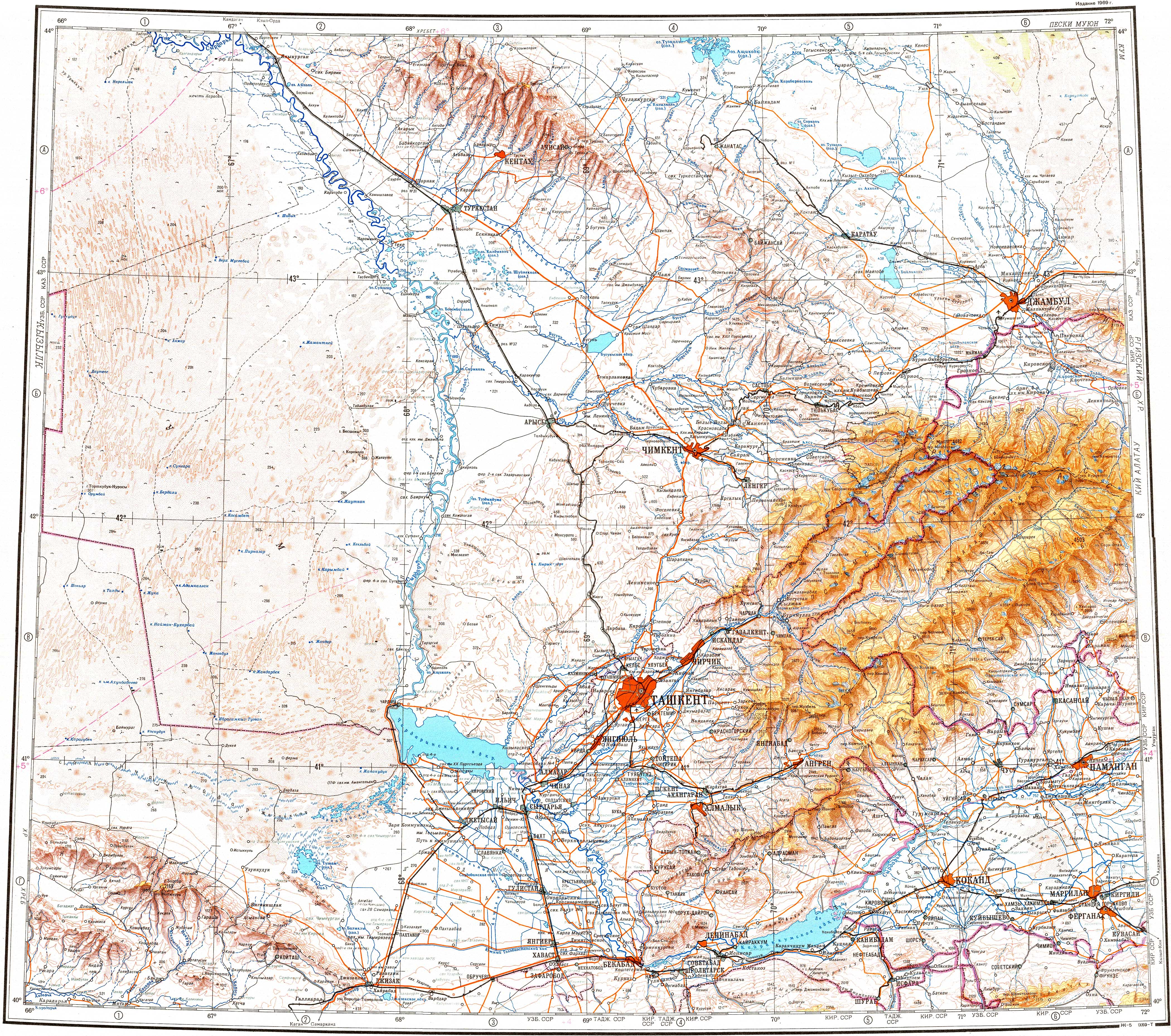
The cluster of lakes is located in an arid, sandy sector of the Muyunkum Desert to the north of the northern slopes of the Karatau Mountains. The border between the Sozak District of Turkestan Region and Sarysu District of Zhambyl Region runs from the SSW to NNE across the lakes. The lakes are all salty and, although there are considerable seasonal changes in water levels, many are dry most of the year. In between the waterbodies there are sandy dunes or mounds, interspersed with alkaline patches, salt marshes and salt flats.[5]

The lakes are scattered over a large area. They are numerous, but all are small. Akzhar, the largest individual lake, lies in the southwestern end, and lake Zhylkybay (Жылқыбай) close to the eastern edge, 21 km (13 mi) north of Igilik village. The Talas river reaches the northern end from the east and sinks in the sands. The Shabakty river has its mouth in the southern part of the lake area, but its waters very rarely reach it.[4][5]

Sentinel-2 image of the wider lake group in October 2022.

Flora and fauna

[edit]

Most lakes have bare, barren-looking, shores. Tamarisk and, less frequently, saxaul may be found in some stretches. Festuca and saltwort may grow sparsely in the land areas in between. The Akzhar lakes are an important place for the breeding, migrating and wintering of a number of bird species.[3]

See also

[edit]

References

[edit]
  1. ^ "K-42 Topographic Chart (in Russian)". Retrieved 5 November 2022.
  • ^ "L-42 Topographic Chart (in Russian)". Retrieved 5 November 2022.
  • ^ a b Akzhar Lakes - BirdLife Data Zone
  • ^ a b Google Earth
  • ^ a b c Nature of Kazakhstan Encyclopedia / General editor. B. O. Jacob. - Almaty: " Kazakh Encyclopedia " LLP, 2011. T.Z. - 304 pp. ISBN 9965-893-64-0 (T.Z.), ISBN 9965-893-19-5
  • [edit]
  • t
  • e

  • Retrieved from "https://en.wikipedia.org/w/index.php?title=Akzhar&oldid=1135083511"

    Categories: 
    Lake groups of Kazakhstan
    Jambyl Region
    Turkistan Region
    Important Bird Areas of Kazakhstan
    Kazakhstan geography stubs
    Hidden categories: 
    Pages using gadget WikiMiniAtlas
    Articles with short description
    Short description matches Wikidata
    Coordinates on Wikidata
    Articles using infobox body of water without alt
    Articles using infobox body of water without pushpin map alt
    Articles using infobox body of water without image bathymetry
    Articles containing Kazakh-language text
    Articles containing Russian-language text
    Commons category link from Wikidata
    All stub articles


    This page was last edited on 22 January 2023, at 15:05 (UTC).

    Text is available under the Creative Commons Attribution-ShareAlike License 4.0; additional terms may apply. By using this site, you agree to the Terms of Use and Privacy Policy. Wikipedia® is a registered trademark of the Wikimedia Foundation, Inc., a non-profit organization.


    Privacy policy

    About Wikipedia

    Disclaimers

    Contact Wikipedia

    Code of Conduct

    Developers

    Statistics

    Cookie statement

    Mobile view


    Wikimedia Foundation
    Powered by MediaWiki