Jump to content


Main menu


Navigation  


Main page
Contents
Current events
Random article
About Wikipedia
Contact us
Donate


Contribute  


Help
Learn to edit
Community portal
Recent changes
Upload file


Search  


Create account

Log in


Create account
 Log in


Pages for logged out editors learn more  


Contributions
Talk


Contents


(Top)


1 History  


2 Current status  


3 References  


4 External links  


Beal, California


Add links


Article
Talk


Read
Edit
View history


Tools


Actions  


Read
Edit
View history


General  


What links here
Related changes
Upload file
Special pages
Permanent link
Page information
Cite this page
Get shortened URL
Download QR code
Wikidata item


Print/export  


Download as PDF
Printable version


Appearance


Coordinates: 34°4528N 114°3301W / 34.7578°N 114.5503°W / 34.7578; -114.5503
 

From Wikipedia, the free encyclopedia


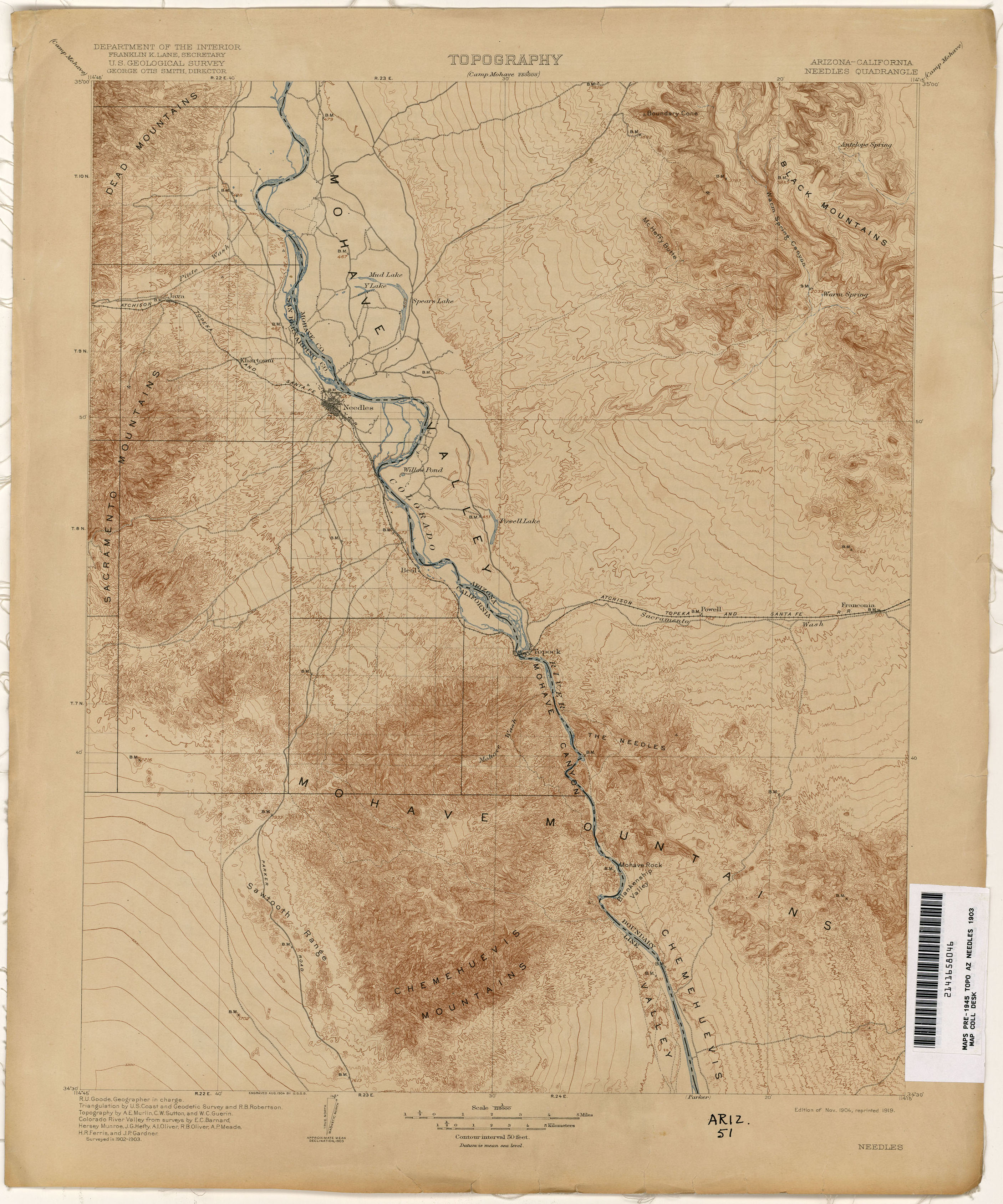
Beal was a railroad station on the Atlantic and Pacific Railroad line between Needles, California and Topock, Arizona from 1889. It was located 5 miles north on the railroad line to Needles from Mellen.[1]

History[edit]

The bridge across the Colorado River constructed at Eastbridge station in 1883 was washed out or undermined by the spring flooding of the river in 1884, 1886 and 1888.[2] The railroad route was moved southward to Beal, then to Mellen where from 1889 to May 1890 the Red Rock Bridge was built. Unlike the previous bridge, this one was a cantilever bridge built on stone foundations. The section of track between where the line changed direction to the new bridge, to the station of Powell and the bridge and station at Eastbridge, was abandoned in 1890.

Current status[edit]

As of 2021, the site of Beal is abandoned, with no visible ruins.

References[edit]

  • ^ Lingenfelter, Richard E. (1978). Steamboats on the Colorado River, 1852 - 1916 (PDF). Tucson, Arizona: University of Arizona Press. p. 82. ISBN 0-8165-0650-7.
  • External links[edit]


    34°45′28N 114°33′01W / 34.7578°N 114.5503°W / 34.7578; -114.5503


  • t
  • e
  • t
  • e

  • Retrieved from "https://en.wikipedia.org/w/index.php?title=Beal,_California&oldid=1221643695"

    Categories: 
    Former settlements in San Bernardino County, California
    Ghost towns in California
    Lower Colorado River Valley
    Mojave Desert
    San Bernardino County, California geography stubs
    United States ghost town stubs
    Hidden categories: 
    Pages using gadget WikiMiniAtlas
    Use mdy dates from July 2023
    Coordinates on Wikidata
    All stub articles


    This page was last edited on 1 May 2024, at 03:44 (UTC).

    Text is available under the Creative Commons Attribution-ShareAlike License 4.0; additional terms may apply. By using this site, you agree to the Terms of Use and Privacy Policy. Wikipedia® is a registered trademark of the Wikimedia Foundation, Inc., a non-profit organization.


    Privacy policy

    About Wikipedia

    Disclaimers

    Contact Wikipedia

    Code of Conduct

    Developers

    Statistics

    Cookie statement

    Mobile view


    Wikimedia Foundation
    Powered by MediaWiki