Jump to content


Main menu


Navigation  


Main page
Contents
Current events
Random article
About Wikipedia
Contact us
Donate


Contribute  


Help
Learn to edit
Community portal
Recent changes
Upload file


Search  


Create account

Log in


Create account
 Log in


Pages for logged out editors learn more  


Contributions
Talk


Contents


(Top)


1 Geography  


2 Flora and fauna  


3 See also  


4 References  


5 External links  


Bilikol


Cebuano
فارسی
Қазақша
مصرى
Oʻzbekcha / ўзбекча
Русский
 

Edit links


Article
Talk


Read
Edit
View history


Tools


Actions  


Read
Edit
View history


General  


What links here
Related changes
Upload file
Special pages
Permanent link
Page information
Cite this page
Get shortened URL
Download QR code
Wikidata item


Print/export  


Download as PDF
Printable version


In other projects  


Wikimedia Commons


Appearance


Coordinates: 43°02N 70°42E / 43.033°N 70.700°E / 43.033; 70.700
 

From Wikipedia, the free encyclopedia


Bilikol
Билікөл
ISS image of Bilikol
Bilikol is located in Kazakhstan
Bilikol

Bilikol

LocationKaratau Mountains
Coordinates43°02′N 70°42′E / 43.033°N 70.700°E / 43.033; 70.700
TypeFluvial lake
Primary inflowsAsa
Primary outflowsAsa
Basin countriesKazakhstan
Max. length18 kilometers (11 mi)
Max. width7.5 kilometers (4.7 mi)
Surface area85 square kilometers (33 sq mi)
Max. depth8 meters (26 ft)
Surface elevation438 meters (1,437 ft)

Bilikol (Kazakh: Билікөл; Russian: Биликоль) is a freshwater lake in the Zhambyl Region, Kazakhstan.[1]

The lake lies 70 kilometers (43 mi) northwest of the city of Taraz. Its waters are used by the surrounding communities to irrigate crops.[2][3][4]

Geography

[edit]

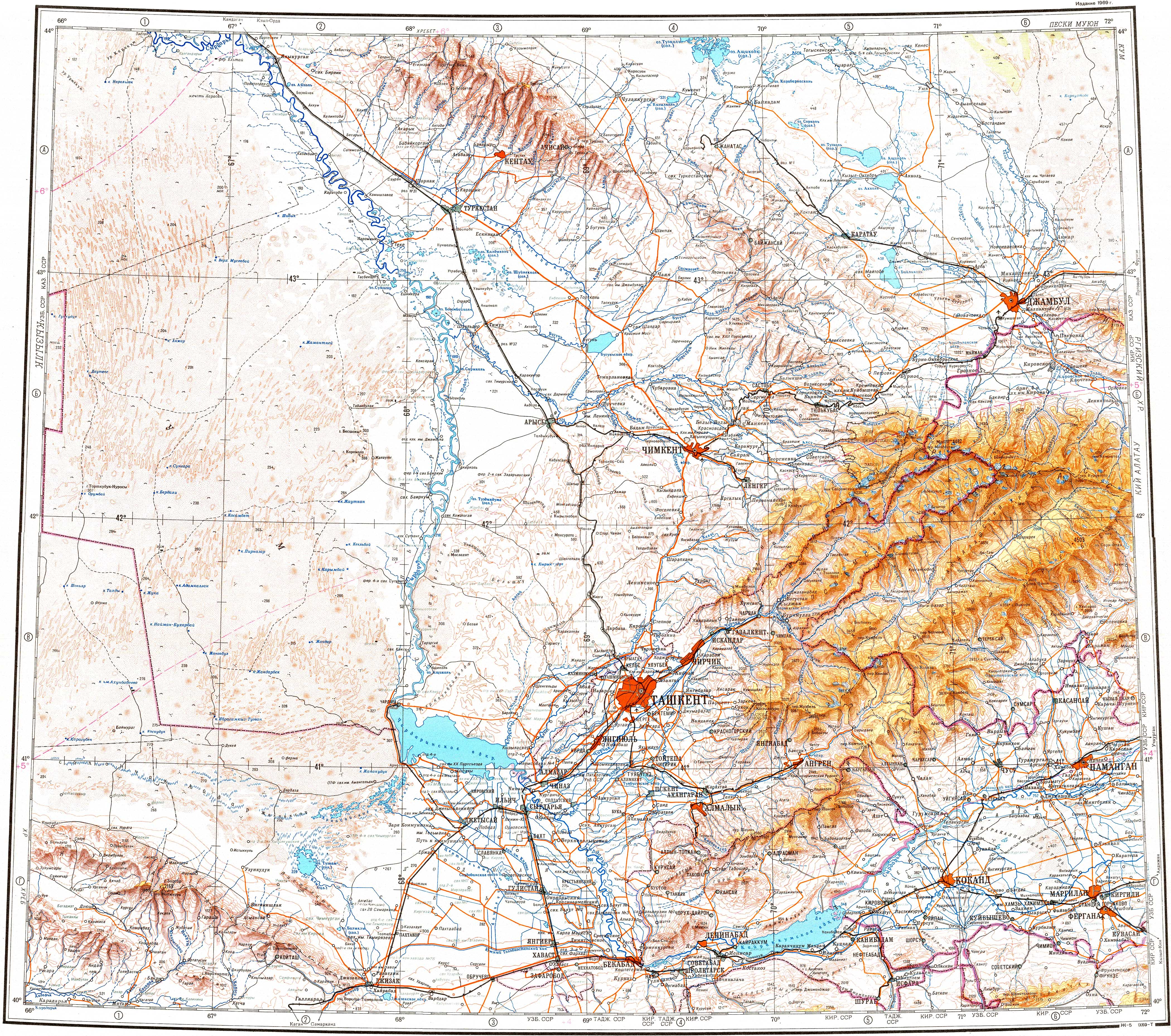
Lake Bilikol has a shape that roughly reminds of an hourglass. Lying in a tectonic depression on the northern slope of the Karatau Mountains, it is part of the Talas basin. The Asa river flows through the lake entering it from the east and flowing out from the north. The shores of the lake are sandy in places.[3] Lake Akkol lies 40 kilometers (25 mi) to the north of the northern end of Bilikol.[2][3][4]

Flora and fauna

[edit]

Reeds grow on the lakeshore. The main fish species found in the lake are carp, common bream and grass carp, among others.[4]

See also

[edit]

References

[edit]
  1. ^ "K-42 Topographic Chart (in Russian)". Retrieved 20 October 2022.
  • ^ a b Google Earth
  • ^ a b c Асса; Great Soviet Encyclopedia in 30 vols. — Ch. ed. A.M. Prokhorov. - 3rd ed. - M. Soviet Encyclopedia, 1969-1978. (in Russian)
  • ^ a b c Kazakhstan National encyclopedia / Chief editor A. Nysanbayev - Almaty, "Kazakh encyclopedia" General editor, 1998, ISBN 5-89800-123-9 , Volume II
  • [edit]
    Retrieved from "https://en.wikipedia.org/w/index.php?title=Bilikol&oldid=1200117555"

    Categories: 
    Lakes of Kazakhstan
    Jambyl Region
    Hidden categories: 
    Pages using gadget WikiMiniAtlas
    Articles with short description
    Short description is different from Wikidata
    Pages using infobox body of water with auto short description
    Coordinates on Wikidata
    Articles using infobox body of water without alt
    Articles using infobox body of water without pushpin map alt
    Articles using infobox body of water without image bathymetry
    Articles containing Kazakh-language text
    Articles containing Russian-language text
    Commons category link from Wikidata


    This page was last edited on 28 January 2024, at 20:16 (UTC).

    Text is available under the Creative Commons Attribution-ShareAlike License 4.0; additional terms may apply. By using this site, you agree to the Terms of Use and Privacy Policy. Wikipedia® is a registered trademark of the Wikimedia Foundation, Inc., a non-profit organization.


    Privacy policy

    About Wikipedia

    Disclaimers

    Contact Wikipedia

    Code of Conduct

    Developers

    Statistics

    Cookie statement

    Mobile view


    Wikimedia Foundation
    Powered by MediaWiki