Jump to content


Main menu


Navigation  


Main page
Contents
Current events
Random article
About Wikipedia
Contact us
Donate


Contribute  


Help
Learn to edit
Community portal
Recent changes
Upload file


Search  


Create account

Log in


Create account
 Log in


Pages for logged out editors learn more  


Contributions
Talk


Contents


(Top)


1 Route description  


2 History  


3 Exit list  


4 See also  


5 References  


6 External links  


Interstate 780


Español
Français


Edit links


Article
Talk


Read
Edit
View history


Tools


Actions  


Read
Edit
View history


General  


What links here
Related changes
Upload file
Special pages
Permanent link
Page information
Cite this page
Get shortened URL
Download QR code
Wikidata item


Print/export  


Download as PDF
Printable version


In other projects  


Wikimedia Commons


Appearance


Route map: 

This is a good article. Click here for more information.

From Wikipedia, the free encyclopedia


Interstate 780 marker

Interstate 780

Map

I-780 highlighted in red
Route information
Auxiliary route of I-80
Maintained by Caltrans
Length6.5 mi[1] (10.5 km)
Existed1973-1976–present
HistoryState highway in 1935; Interstate (as I-680) in 1955; renumbered I-780 in 1973–76
NHSEntire route
Major junctions
West endCurtola Pkwy & Lemon St in Vallejo
Major intersections I-80 in Vallejo
East end I-680inBenicia
Location
CountryUnited States
StateCalifornia
CountiesSolano
Highway system
I-710 I-805

Interstate 780 (I-780) is an east–west auxiliary Interstate Highway in the San Francisco Bay AreaofNorthern California. It runs from Curtola Parkway and Lemon Street in VallejotoI-680 just north of the Benicia–Martinez BridgeinBenicia. It closely parallels the Carquinez Strait for its entire route. Originally, this segment was part of I-680 before that Interstate was extended and rerouted to Fairfield. The city-maintained Curtola Parkway continues west from I-80 to State Route 29 (SR 29) in Vallejo.

Route description[edit]

The I-780 state-maintained freeway begins at Lemon Street and Curtola Parkway, quickly crossing underneath I-80 at a cloverleaf interchange. The freeway passes through parts of unincorporated Solano County, then heads southeast along the Benicia State Recreation Area (amarsh). It then bypasses downtown Benicia through the hills to the north. I-780 ends at I-680 at the north end of the Benicia–Martinez Bridge, with I-680 heading south through the East BaytoSan Jose.[2]

I-780 is part of the California Freeway and Expressway System[3] and, as with every Interstate Highway, is part of the National Highway System,[4] a network of highways that are considered essential to the country's economy, defense, and mobility by the Federal Highway Administration (FHWA).[5]

History[edit]

By 1914, a paved county road connected Vallejo and Benicia north of the Carquinez Strait,[6] following the present Maine Street, Benicia Road, Columbus Parkway, and K Street.[7] Although state highways were designated to Benicia in 1910 (Legislative Route (LRN) 7, now I-680) and Vallejo in 1931 (LRN 74, now SR 29), this connection was not added until 1935, when LRN 74 (an unsigned designation) was extended east from Vallejo to Benicia and north along former LRN 7 to Fairfield.[8] (A short spur connecting Vallejo to the Carquinez Bridge was added to LRN 74 in 1937.[9]) LRN 74 initially entered Benicia on K Street and left on East 5th Street, making several turns in between.[7][10] Two realignments were built in the 1940s, reducing the number of turns to one, at the corner of L and East 2nd streets.[11][12]

On September 15, 1955, the Bureau of Public Roads approved the Interstate Highway System spurs and connections in urban areas. Among these was a loop around the San Francisco Bay, soon numbered I-280 and I-680. The east half (I-680) incorporated a number of existing legislative routes, including LRN 69, LRN 108, LRN 107, LRN 75, and LRN 74, crossing the Carquinez Strait on the proposed Benicia–Martinez Bridge and ending at I-80 near downtown Vallejo.[13][14] The first piece of this freeway north of the Carquinez Strait was at the I-80 cloverleaf interchange, built in the late 1950s when I-80 was upgraded through Vallejo. This was an extremely short roadway, beginning at Lemon Street, crossing under I-80 and Laurel Street and ending at Reis Avenue and Cedar Street.[15][16] In about 1960, it was extended east to the old highway (Columbus Parkway) between the cities and was completed to the new bridge in about 1962, the year the bridge opened.[15]

State Route 141 marker

State Route 141

LocationVallejo
Existed1964–1988

In the 1964 state highway renumbering, the legislative designation of the completed Vallejo–Benicia freeway was changed from LRN 74 to LRN 680, reflecting its Interstate designation. The short piece of nonfreeway in Vallejo, extending west from I-80 to SR 29, became State Route 141 (SR 141).[17] This route followed Benicia Road and Maine Street, the same alignment the state highway had always taken; it initially connected with I-780 via Lemon Street[18] but later followed Benicia Road from I-80 north of I-780. In 1975, a proposed (and never constructed) extension west and north to SR 37 east of the Napa River was added to LRN 141.[19][20] The route was to be the Waterfront Freeway, scaled down to a boulevard in 1974.[21][22]

The FHWA approved a relocation of I-680 onto the SR 21 freeway between Benicia and Fairfield in July 1973. To keep the route to Vallejo in the Interstate system, it was renumbered I-780;[14] the corresponding legislative changes were made in 1976.[23] As part of the project to construct a new northbound Benicia–Martinez Bridge, the I-680/I-780 interchange was rebuilt;[when?] the new span opened in August 2007.[24] LRN 141 was deleted from the state highway system in 1988,[25] soon after the city of Vallejo constructed Curtola Parkway over (replacing Maryland Street) just to the south, directly connecting I-780 with a surface road to SR 29.[11]

Exit list[edit]

Mileage was measured from east-to-west based on the alignment of LRN 680 as it existed at that time. Exit numbers were still assigned the conventional west-to-east ascension.[26] 
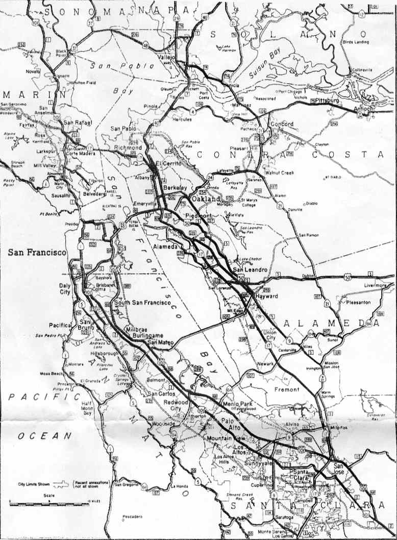
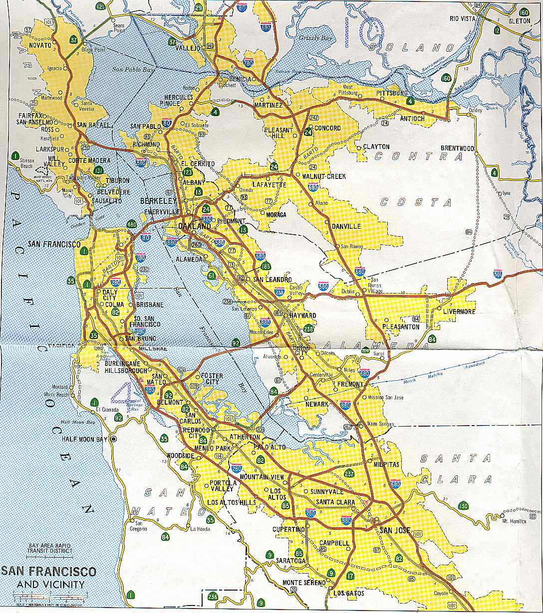
The entire route is in Solano County.

Locationmi[26][27]kmExit[26]DestinationsNotes
Vallejo6.7510.86Curtola Parkway – VallejoContinuation beyond Lemon Street
Lemon StreetAt-grade intersection
6.7010.781 I-80 – Sacramento, San FranciscoSigned as exits 1A (west) and 1B (east); west end of I-780; I-80 exit 30A
6.5810.591CLaurel StreetWestbound signage
Cedar StreetEastbound signage
5.518.871DGlen Cove Road
Benicia4.286.893AColumbus ParkwayServes Benicia State Recreation Area
3.515.653BMilitary West
3.325.344Southampton Road
1.522.455East Second Street – Central Benicia
1.091.756East Fifth Street
0.000.007 I-680 – Fairfield, Sacramento, Martinez, San JoseEastbound exit and westbound entrance; signed as exits 7A (north) and 7B (south); east end of I-780; I-680 exit 58A northbound, 58 southbound; tri-stack interchange
1.000 mi = 1.609 km; 1.000 km = 0.621 mi

See also[edit]

References[edit]

  1. ^ "Table 2: Auxiliary Routes of the Dwight D. Eisenhower National System Of Interstate and Defense Highways". FHWA Route Log and Finder List. Federal Highway Administration. December 31, 2021. Retrieved July 13, 2022.
  • ^ Google Maps street maps and USGS topographic maps, accessed February 2008 via ACME Mapper
  • ^ "Article 2 of Chapter 2 of Division 1". California Streets and Highways Code. Sacramento: California Office of Legislative Counsel. Retrieved February 6, 2019.
  • ^ Federal Highway Administration (March 25, 2015). National Highway System: San Francisco–Oakland, CA (PDF) (Map). Scale not given. Washington, DC: Federal Highway Administration. Retrieved July 23, 2017.
  • ^ Natzke, Stefan; Neathery, Mike & Adderly, Kevin (June 20, 2012). "What is the National Highway System?". National Highway System. Washington, DC: Federal Highway Administration. Retrieved July 1, 2012.
  • ^ Grinnon, Edmund (May 15, 1914). "Road News from All Over The State". Oakland Tribune. Vallejo to Benicia. paved road; to Napa, paved to county line, rough to one mile beyond city of Napa;
  • ^ a b Official Automobile Blue Book, Volume Eight, 1917, pp. 146, 180
  • ^ California State Assembly. "An act...relating to State highways". Fifty-first Session of the Legislature. Statutes of California. State of California. Ch. 274 p. 959, 281.: "Route 74 is from a point on Route 8 near the Napa Y to Cordelia via Vallejo and Benicia."
  • ^ California State Assembly. "An act to amend section 374 of the Streets and Highways Code, relating to State Highway Route 74". Fifty-second Session of the Legislature. Statutes of California. State of California. Ch. 219 p. 515.: "Route 74 is from a point on Route 8 near the Napa Y to Cordelia via Vallejo and Benicia, including a connection from Vallejo to Route 7 near the Carquinez Bridge."
  • ^ United States Geological Survey, Carquinez Strait (scale 1:62500), 1940
  • ^ a b National Bridge Inventory database, 2006: the bridges on East Second Street north of Benicia are dated 1942 and 1944; the pedestrian bridge over Curtola Parkway is dated 1987
  • ^ United States Geological Survey, Benicia (scale 1:24000), 1950
  • ^ Bureau of Public Roads, General Location of National System of Interstate Highways, 1955: San Francisco
  • ^ a b California Department of Transportation, State Highway Routes: Selected Information, 1994 with 1995 revisions, pp. 342, 348
  • ^ a b California Department of Transportation (July 2007). "Log of Bridges on State Highways". Sacramento: California Department of Transportation.
  • ^ United States Geological Survey, Benicia (scale 1:24000), 1959
  • ^ California State Assembly. "An act to add Section 253 and Article 3 (commencing with Section 300) to Chapter 2 of Division 1 of, and to repeal Section 253 and Article 3 (commencing with Section 300) of Chapter 2 of Division 1 of, the..." 1963 Session of the Legislature. Statutes of California. State of California. Ch. 385 p. 1182, 1189.: "Route 141 is from Route 80 to Route 29 in Vallejo." "Route 680 is from Route 280 in San Jose to Route 80 in Vallejo passing near Warm Springs, Mission San Jose, Scotts Corners and Sunol, and via Walnut Creek and Benicia."
  • ^ Division of Highways, San Francisco and Vicinity, 1963
  • ^ California Department of Transportation, San Francisco and Vicinity, 1986
  • ^ California State Assembly. "An act...relating to state bridges and highways..." 1975–1976 Session of the Legislature. Statutes of California. State of California. Ch. 1078 p. 2638.: "Route 141 is the westerly extension of Route 680 from Route 80 to Route 37."
  • ^ Vallejo Times Herald, No Freeway for Waterfront Blvd, April 25, 1974
  • ^ Vallejo Times Herald, Vallejo Approves Measure to Speed Waterfront Boulevard Construction, August 20, 1974
  • ^ California State Assembly. "An act to amend Sections 143.2, 186, 253.1, 253.2, 253.4, 253.5, 253.6, 263.1, 263.5, 263.7, 311, 312, 333, 360, 374, 375, 378, 381, 384, 388, 411, 417, 422, 440, 441, 460, 506, 559, 563, 582, and 620 of, to add..." 1975–1976 Session of the Legislature. Statutes of California. State of California. Ch. 1354 p. 6178.: "Route 780 is from Route 680 at Benicia to Route 80 in Vallejo."
  • ^ Metropolitan Transportation Commission, Rep. George Miller to Keynote Celebrations for Completion of New Benicia-Martinez Bridge[dead link], August 23, 2007
  • ^ California State Assembly. "An act to add and repeal Sections...of the Government Code, to amend Sections...of, the Streets and Highways Code..." 1987–1988 Session of the Legislature. Statutes of California. State of California. Ch. 106 p. 443.
  • ^ a b c "Interstate 780 Freeway Interchanges" (PDF). California Numbered Exit Uniform System. California Department of Transportation. March 17, 2020. Retrieved October 17, 2020.
  • ^ California Department of Transportation. "State Truck Route List". Sacramento: California Department of Transportation. Archived from the original (XLS file) on September 5, 2015. Retrieved June 30, 2015.
  • External links[edit]

    KML is from Wikidata


    Retrieved from "https://en.wikipedia.org/w/index.php?title=Interstate_780&oldid=1171616011"

    Categories: 
    Interstate Highways in California
    San Francisco Bay Area freeways
    Auxiliary Interstate Highways
    Interstate 80
    Roads in Solano County, California
    Hidden categories: 
    All articles with dead external links
    Articles with dead external links from January 2013
    Articles with short description
    Short description matches Wikidata
    Use mdy dates from December 2022
    Use American English from December 2022
    All Wikipedia articles written in American English
    Infobox road instances in California
    All articles with vague or ambiguous time
    Vague or ambiguous time from February 2011
    Pages using gadget WikiMiniAtlas
    Articles using KML from Wikidata
    Commons category link from Wikidata
    Good articles
    Pages using the Kartographer extension


    This page was last edited on 22 August 2023, at 06:44 (UTC).

    Text is available under the Creative Commons Attribution-ShareAlike License 4.0; additional terms may apply. By using this site, you agree to the Terms of Use and Privacy Policy. Wikipedia® is a registered trademark of the Wikimedia Foundation, Inc., a non-profit organization.


    Privacy policy

    About Wikipedia

    Disclaimers

    Contact Wikipedia

    Code of Conduct

    Developers

    Statistics

    Cookie statement

    Mobile view


    Wikimedia Foundation
    Powered by MediaWiki