
This article needs additional citations for verification. Please help improve this articlebyadding citations to reliable sources. Unsourced material may be challenged and removed.
Find sources: "Jebel Al Mebrah" – news · newspapers · books · scholar · JSTOR (December 2009) (Learn how and when to remove this message) |
| Jebel Al-Mebrah | |
|---|---|

Jabal Al-Mebrah, as seen from Ras Al-Khaimah City, sitting to the right, and behind, the nearby mountain
| |
| Highest point | |
| Elevation | 1,527 m (5,010 ft) |
| Prominence | 216 m (709 ft) |
| Isolation | 4.93 km (3.06 mi) |
| Coordinates | 25°38′54″N 56°07′45″E / 25.64833°N 56.12917°E / 25.64833; 56.12917 |
| Naming | |
| Native name | جَبَل ٱلْمبْرَح (Arabic) |
| Geography | |
 Jebel Al-Mebrah Location of Jebel Al-Mebrah in the United Arab Emirates Show map of United Arab Emirates Jebel Al-Mebrah Jebel Al-Mebrah (Middle East) Show map of Middle East Jebel Al-Mebrah Jebel Al-Mebrah (Asia) Show map of Asia | |
| Location | Emirate of Fujairah, the UAE |
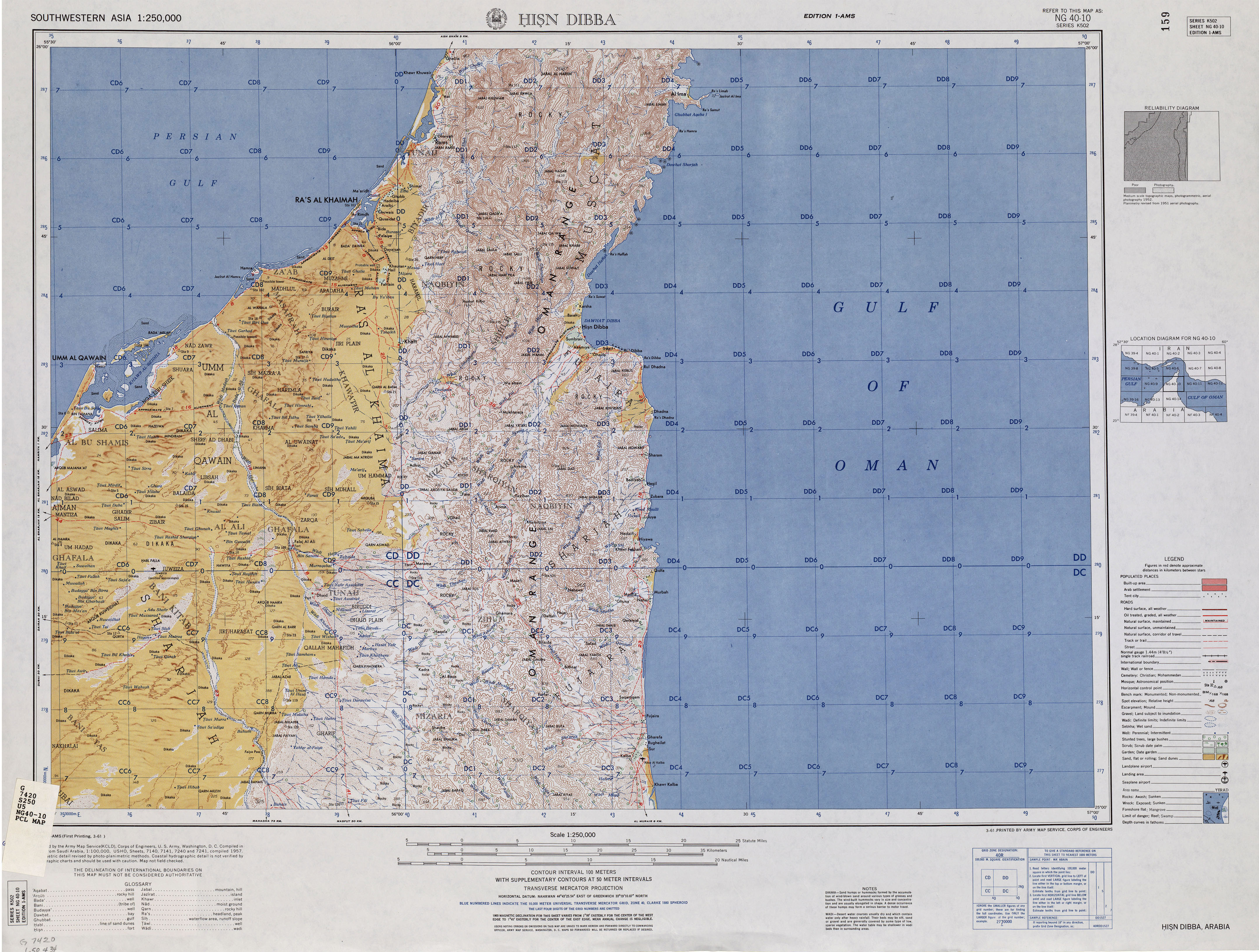
Jabal Al-Mebraḥ (Arabic: جَبَل ٱلْمبْرَح), also known by the name Jabal Yibir (Arabic: جَبَل يِبِر),[1][2][3] is a 1,527 m (5,010 ft)[4] tall mountain in the Emirate of Fujairah, the U.A.E.
Jabal Yibir, Jabal Al-Mebrah, Jabal Mibraḥ, Jabal Al-Mebraḥ, Jabal Mibrah, Jabal al Mebrah, Jabal al Mibrah, Jabal Mebrah, Jebel Al Mebrah
Located in the Western Hajar Mountains, sitting wholly within the UAE, it has a prominence of around 216 m (709 ft) from its parent peak, Jabal Harf Tila (1,568 m), on the border between UAE and Oman - Coordinates 25.689278°N, 56.158500°E.
The peak sits within a larger raised massif, which has a gradual incline in general; however, due to the steep-sided wadis carving into its sides, and many faults and bulges in the landscape, it has many unnavigable sections surrounding the summit.
Amilitary station is located on the summit, making the peak out of access; however, a road has been built up from Al Tuwiyain (Arabic: الطويين), with many villages along the sides and tracks continuing further into the mountains. This has incrementally improved from a loose track to an increasingly widened asphalt road, since 2016 and onwards. Initially this allowed public access to within 400 m (1,300 ft) of the military station, around 100 m (330 ft) below. This has had periods of being opened and closed, with a military checkpoint initially at the base of the mountain, then being moved up just over halfway to the Fujairah/Ras al Khaimah border.
When defining a peak as a summit with at least 50 m (160 ft) of prominence, Jabal Yibir / Jabal Al-Mebrah is among the tallest 6 peaks in the UAE. The well-known highest point in the UAE is on Jebel Jais near Ras al-Khaimah at about 1,910 m (6,270 ft); however, it has a prominence of only about 9 m (30 ft) from its parent peak in Musandam Governorate in Oman, making this only the highest 'point'.
In order, therefore make up the tallest prominent summits in the UAE
|
Hills and mountains on the Arabian Peninsula
| |
|---|---|
| |
Note: Mountains are sorted in alphabetical order, unless where it concerns ranges. The highest confirmed mountains in each country are indicated with 'HP', and those with the highest peak are indicated with 'HP', bearing in mind that in the UAE, the highest mountain and the mountain with the highest peak are different. Outcrops are indicated with 'OC', and outliers with 'OL', and anticlines with 'AC'. Volcanoes are indicated with 'V', volcanic craters with 'VC', lava fields with 'LF', and volcanic fields with 'VF'.
Other notes: |
This United Arab Emirates location article is a stub. You can help Wikipedia by expanding it. |


