
Kahla
| |
|---|---|

Kahla in winter
| |

Coat of arms | |
Location of Kahla within Saale-Holzland-Kreis district 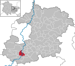 | |
 Kahla Show map of Germany  Kahla Show map of Thuringia | |
| Coordinates: 50°48′3″N 11°35′15″E / 50.80083°N 11.58750°E / 50.80083; 11.58750 | |
| Country | Germany |
| State | Thuringia |
| District | Saale-Holzland-Kreis |
| Government | |
| • Mayor (2024–30) | Jan Schönfeld[1] |
| Area | |
| • Total | 7.97 km2 (3.08 sq mi) |
| Elevation | 177 m (581 ft) |
| Population
(2022-12-31)[2]
| |
| • Total | 6,806 |
| • Density | 850/km2 (2,200/sq mi) |
| Time zone | UTC+01:00 (CET) |
| • Summer (DST) | UTC+02:00 (CEST) |
| Postal codes |
07768
|
| Dialling codes | 036424 |
| Vehicle registration | SHK, EIS, SRO |
| Website | www.kahla.de |
Kahla (German: [ˈkaːla] ⓘ) is a town in the Saale-Holzland district, in Thuringia, Germany. It is situated on the river Saale, 14 km south of Jena.
| International |
|
|---|---|
| National |
|
| Geographic |
|
This Saale-Holzland location article is a stub. You can help Wikipedia by expanding it. |