Jump to content


Main menu


Navigation  


Main page
Contents
Current events
Random article
About Wikipedia
Contact us
Donate


Contribute  


Help
Learn to edit
Community portal
Recent changes
Upload file


Search  


Create account

Log in


Create account
 Log in


Pages for logged out editors learn more  


Contributions
Talk


Contents


(Top)


1 Geography  


2 Fauna  


3 See also  


4 References  


5 External links  


Koybagar


Azərbaycanca
Български
Cebuano
Čeština
فارسی
Қазақша
Lietuvių
Русский
Simple English
Tagalog
 

Edit links


Article
Talk


Read
Edit
View history


Tools


Actions  


Read
Edit
View history


General  


What links here
Related changes
Upload file
Special pages
Permanent link
Page information
Cite this page
Get shortened URL
Download QR code
Wikidata item


Print/export  


Download as PDF
Printable version


Appearance


Coordinates: 52°37N 65°36E / 52.617°N 65.600°E / 52.617; 65.600
 

From Wikipedia, the free encyclopedia


Koybagar
Қойбағар / Койбагар
Sentinel-2 image of the lake in 2021.
Koybagar is located in Kazakhstan
Koybagar

Koybagar

LocationTurgay Basin
Coordinates52°37′N 65°36′E / 52.617°N 65.600°E / 52.617; 65.600
Typeendorheic
Primary inflowsKarasu
Primary outflowsnone
Basin countriesKazakhstan
Max. length17.8 kilometers (11.1 mi)
Max. width9.1 kilometers (5.7 mi)
Surface area96 square kilometers (37 sq mi)
Max. depth1.6 meters (5 ft 3 in)
Water volume0.02 cubic kilometers (0.0048 cu mi)
Shore length149 kilometers (30 mi)
Surface elevation202 meters (663 ft)
1 Shore length is not a well-defined measure.

Koybagar (Kazakh: Қойбағар; Russian: Койбагар) is a lake in the Kostanay Region, Kazakhstan.[1]

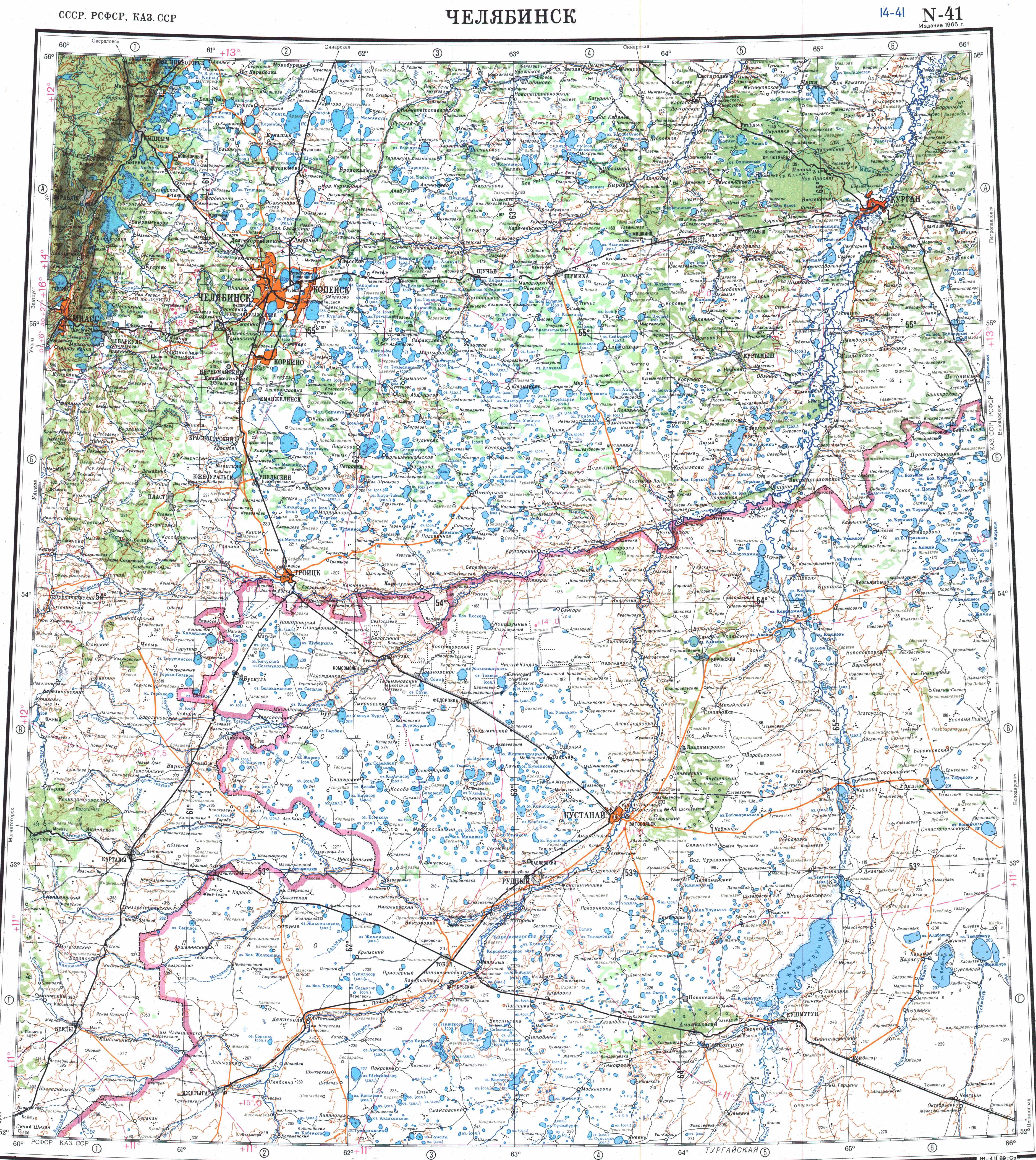
Koybagar is a steppe lake of the central sector of the Turgay BasininKarasu District, Kostanay Region. Karasu village is located 5 kilometers (3.1 mi) west of the lake.[2] The lake is part of the Koibagar-Tyuntyugur Lake System, a Ramsar site, since 2009.[2][3][1]

Geography[edit]

Koybagar is an endorheic lake lying in an isolated basin encircled by an unbroken wall of clay cliffs varying in height from 3 meters (9.8 ft) to 10 meters (33 ft). It is located between the larger Kushmurun lake to the west and the smaller Tyuntyugur to the east. The lake stretches roughly from north to south. The Karasu river flows into the western shore of the lake.[2][1]

In years of heavy snowfall the lake may reach a surface area of 127 square kilometers (49 sq mi) and the water becomes fresh. Usually during the dry season in the summer the lake shrinks, the northern part dries up and the water of the southern part turns brackish. The lakeshore is largely slightly sloping and low-lying.[4]

Fauna[edit]

The lake is part of the Koybagar-Tyuntyugur lake group. It is a critical site for waterbirds such as the lesser white-fronted goose, red-breasted goose, glaucous gull[5] and the critically endangered siberian crane.[6] There are ten different fish species in the lake, including perch and pike.[7]

See also[edit]

References[edit]

  1. ^ a b c "N-41 Topographic Chart (in Russian)". Retrieved 24 July 2022.
  • ^ a b c Google Earth
  • ^ Koibagar-Tyuntyugur Lake System
  • ^ Коибагар; Great Soviet Encyclopedia in 30 vols. — Ch. ed. A.M. Prokhorov. - 3rd ed. - M. Soviet Encyclopedia, 1969-1978. (in Russian)
  • ^ Birds of Kazakhstan: new and interesting data, part 2
  • ^ Tyuntyugur-Zhanshura Lake System | Siberian Crane
  • ^ "Современный состав ихтиофауны Капшагайского водохранилища и реки Или" (PDF). Retrieved 2022-08-15.
  • External links[edit]


    Retrieved from "https://en.wikipedia.org/w/index.php?title=Koybagar&oldid=1208407448"

    Categories: 
    Lakes of Kazakhstan
    Kostanay Region
    Endorheic lakes of Asia
    Hidden categories: 
    Pages using gadget WikiMiniAtlas
    Articles with short description
    Short description is different from Wikidata
    Coordinates on Wikidata
    Articles using infobox body of water without alt
    Articles using infobox body of water without pushpin map alt
    Articles using infobox body of water without image bathymetry
    Articles containing Kazakh-language text
    Articles containing Russian-language text


    This page was last edited on 17 February 2024, at 11:06 (UTC).

    Text is available under the Creative Commons Attribution-ShareAlike License 4.0; additional terms may apply. By using this site, you agree to the Terms of Use and Privacy Policy. Wikipedia® is a registered trademark of the Wikimedia Foundation, Inc., a non-profit organization.


    Privacy policy

    About Wikipedia

    Disclaimers

    Contact Wikipedia

    Code of Conduct

    Developers

    Statistics

    Cookie statement

    Mobile view


    Wikimedia Foundation
    Powered by MediaWiki