Jump to content


Main menu


Navigation  


Main page
Contents
Current events
Random article
About Wikipedia
Contact us
Donate


Contribute  


Help
Learn to edit
Community portal
Recent changes
Upload file


Search  


Create account

Log in


Create account
 Log in


Pages for logged out editors learn more  


Contributions
Talk


Contents


(Top)


1 Course  


1.1  Tributaries  


2 Flora and fauna  


3 See also  


4 References  


5 External links  


Kukusunda


Cebuano
Italiano
مصرى
 

Edit links


Article
Talk


Read
Edit
View history


Tools


Actions  


Read
Edit
View history


General  


What links here
Related changes
Upload file
Special pages
Permanent link
Page information
Cite this page
Get shortened URL
Download QR code
Wikidata item


Print/export  


Download as PDF
Printable version


Appearance


Coordinates: 68°1832N 109°5151E / 68.30889°N 109.86417°E / 68.30889; 109.86417
 

From Wikipedia, the free encyclopedia


Kukusunda
Кукусунда / Кукуһунда
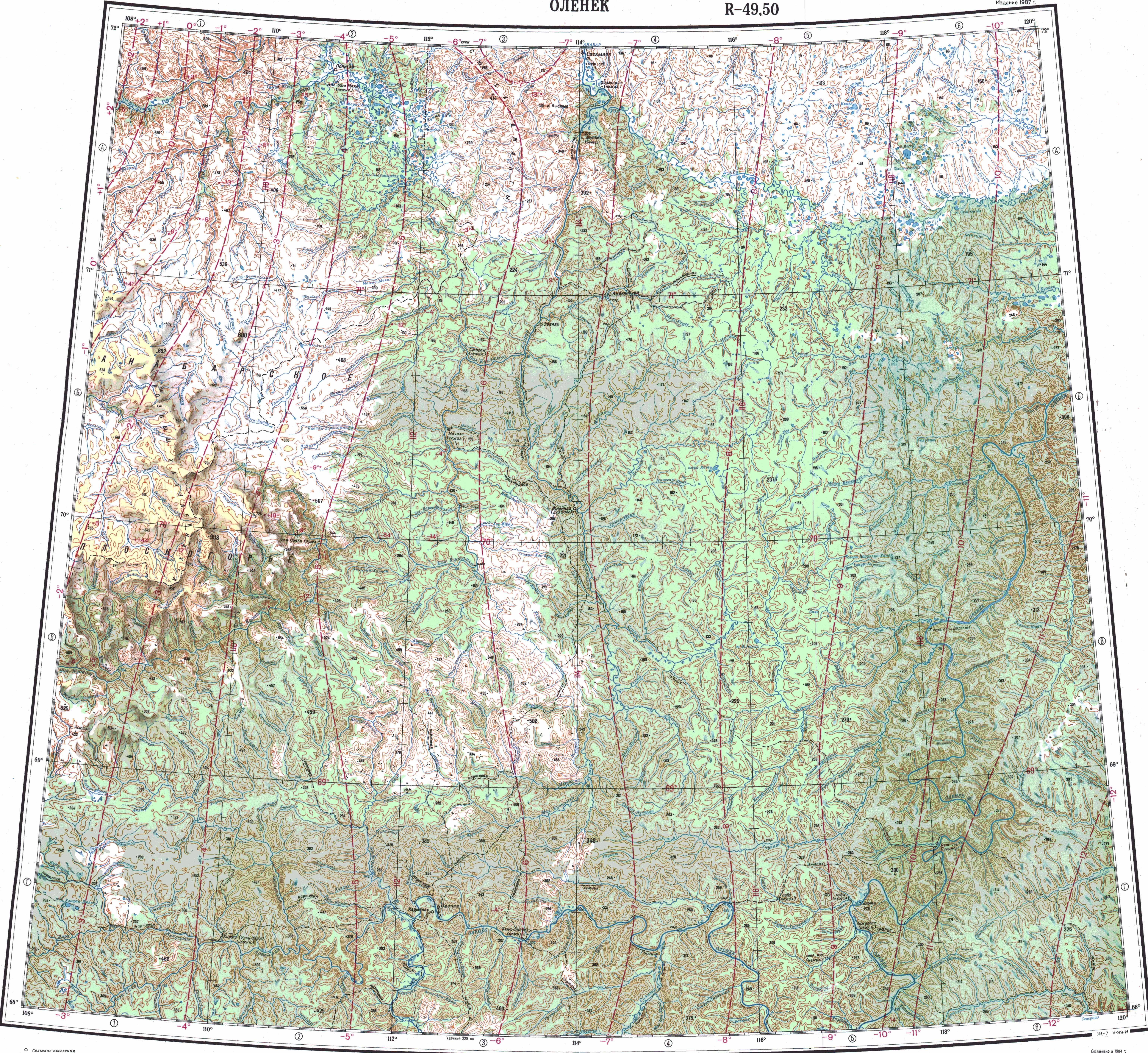
Arga-Sala basin ONC map section with the Kukusunda in the lower part
Kukusunda is located in Sakha Republic
Kukusunda

Mouth location in Yakutia, Russia

Kukusunda is located in Russia
Kukusunda

Kukusunda (Russia)

Location
CountryRussia
Physical characteristics
Source 
 • locationAnabar Plateau
Central Siberian Plateau
MouthArga-Sala

 • coordinates

68°18′32N 109°51′51E / 68.30889°N 109.86417°E / 68.30889; 109.86417

 • elevation

108 m (354 ft)
Length270 km (170 mi)
Basin size14,200 km2 (5,500 sq mi)
Discharge 
 • average99 m3/s (3,500 cu ft/s)
Basin features
ProgressionArga-SalaOlenyokLaptev Sea

The Kukusunda (Russian: Кукусунда; Yakut: Кукуһунда, Kukuhunda) is a river in Yakutia (Sakha Republic) and Krasnoyarsk Krai, Russia. It is the longest tributary of the Arga-Sala, of the Olenyok basin, and has a length of 270 kilometres (170 mi) and a drainage basin area of 14,200 square kilometres (5,500 sq mi).[1]

The river flows across an uninhabited area of Olenyoksky District marked by permafrost. A small stretch of its source area falls within the Evenkiysky DistrictofKrasnoyarsk Krai. The nearest settlement is Olenyok village, located about 200 km (120 mi) to the east of its mouth.[2]

Course

[edit]

The Kukusunda is a left tributary of the Arga-Sala. Its sources are in the southern part of the Anabar Plateau, part of the Central Siberian Plateau, south of an area of lakes. In its upper course the river flows across a wide floodplain where its channel forms meanders. The river flows roughly eastwards and southeastwards. Then it finally joins the left bank of the Arga-Sala river 180 km (110 mi) from its mouth.[3][2][4]

The Kukusunda is fed mainly by snow. It is frozen yearly between mid October and the end of May or the beginning of June.[5]

Tributaries

[edit]

The main tributaries of the Kukusunda are the 200 km (120 mi) long Dyara (Дьара) from the right, as well as the 69 km (43 mi) long Kharaga-Suokh (Харага-Суох) and the 86 km (53 mi) long Lamuyka (Ламуйка) from the left.[1]

Flora and fauna

[edit]

The river and its tributaries flow across an area covered by typical Siberian taiga, composed mainly of larch and pine. The main fish species in the Kukusunda are lenok, muksun, nelma, omul, least cisco, whitefish, taimen, grayling and pike.[6]

See also

[edit]

References

[edit]
  1. ^ a b "Река Кукусунда in the State Water Register of Russia". textual.ru (in Russian).
  • ^ a b "Топографска карта R-49 50; M 1:1 000 000 - Topographic USSR Chart (in Russian)". Retrieved 9 May 2022.
  • ^ Google Earth
  • ^ Operational Navigation Chart C-5, 2nd edition
  • ^ Кукусунда nature.ykt.ru
  • ^ «Вода России» - Кукусунда
  • [edit]
    Retrieved from "https://en.wikipedia.org/w/index.php?title=Kukusunda&oldid=1216027485"

    Categories: 
    Rivers of the Sakha Republic
    Rivers of Krasnoyarsk Krai
    Tributaries of the Arga-Sala
    Central Siberian Plateau
    Hidden categories: 
    Pages using gadget WikiMiniAtlas
    CS1 Russian-language sources (ru)
    Articles with short description
    Short description is different from Wikidata
    Coordinates on Wikidata
    Articles containing Russian-language text
    Articles containing Yakut-language text


    This page was last edited on 28 March 2024, at 16:17 (UTC).

    Text is available under the Creative Commons Attribution-ShareAlike License 4.0; additional terms may apply. By using this site, you agree to the Terms of Use and Privacy Policy. Wikipedia® is a registered trademark of the Wikimedia Foundation, Inc., a non-profit organization.


    Privacy policy

    About Wikipedia

    Disclaimers

    Contact Wikipedia

    Code of Conduct

    Developers

    Statistics

    Cookie statement

    Mobile view


    Wikimedia Foundation
    Powered by MediaWiki