Jump to content


Main menu


Navigation  


Main page
Contents
Current events
Random article
About Wikipedia
Contact us
Donate


Contribute  


Help
Learn to edit
Community portal
Recent changes
Upload file


Search  


Create account

Log in


Create account
 Log in


Pages for logged out editors learn more  


Contributions
Talk


Contents


(Top)


1 Continential landmasses  


2 See also  


3 Notes  


4 References  


Landmass


Авар
Bosanski
Čeština
Cymraeg
Dansk
Deutsch
Eesti
فارسی
Hrvatski
Bahasa Indonesia
Íslenska
עברית

Кырык мары
Latina
Latviešu
Lëtzebuergesch
Македонски

Монгол
Nedersaksies

Norsk bokmål
Norsk nynorsk
Plattdüütsch
Polski
Русиньскый
Simple English
Slovenščina
Ślůnski
Српски / srpski
Srpskohrvatski / српскохрватски
Suomi
Svenska

Võro


Edit links


Article
Talk


Read
Edit
View history


Tools


Actions  


Read
Edit
View history


General  


What links here
Related changes
Upload file
Special pages
Permanent link
Page information
Cite this page
Get shortened URL
Download QR code
Wikidata item


Print/export  


Download as PDF
Printable version


In other projects  


Wikimedia Commons


Appearance


From Wikipedia, the free encyclopedia


An image of Antarctica differentiating its landmass (dark grey) from its ice shelves (minimum extent, light grey, and maximum extent, white)

Alandmass, or land mass, is a large region or area of land that is in one piece and not broken up by oceans.[1][2] The term is often used to refer to lands surrounded by an ocean or sea, such as a continent or an island.[3][4] In the field of geology, a landmass is a defined section of continental crust extending above sea level.[5]

Continents are often thought of as distinct landmasses and may include any islands that are part of the associated continental shelf. When multiple continents form a single contiguous land connection, the connected continents may be viewed as a single landmass. Earth's largest landmasses are (starting with largest):[6][7][8]

  1. Afro-Eurasia (main landmass of the geoscheme region of the same name and its continental parts Africa and Eurasia - or Europe and Asia; the center of Earth's land hemisphere, comprising more than half of Earth's landmass)
  2. Americas (main landmass of the geo-region of the same name and its continental parts North and South America; comprising most of the landmass of the Western Hemisphere)
  3. Antarctica (main landmass of the geo-region and continent of the same name)
  4. Mainland Australia (main landmass of the geo-region Oceania, its sub-region Australasia, the continent Australia and the country Australia)

Continential landmasses

[edit]

Continental landmasses are not usually classified as islands despite being completely surrounded by water.[Note 1] However, because the definition of continent varies between geographers, the Americas are sometimes defined as two separate continents while mainland Australia is sometimes defined as an island as well as a continent. Nevertheless, for the purposes of this list, mainland Australia along with the other major landmasses have been listed as continental landmasses for comparison. The figures are approximations and are for the four major continental landmasses only.[Note 2] The artificial Panama and Suez canals are disregarded, as they are not natural waters that separate the continents.

Rank Continental landmass[Note 3] Area Nation(s)
(km2) (sq mi)
1 Afro-Eurasia 79,810,726[Note 4] 30,815,094

126 countries[Note 8]
7de facto states[Note 10]

2 Americas 37,699,623[Note 11] 14,555,906

22 countries[Note 13]
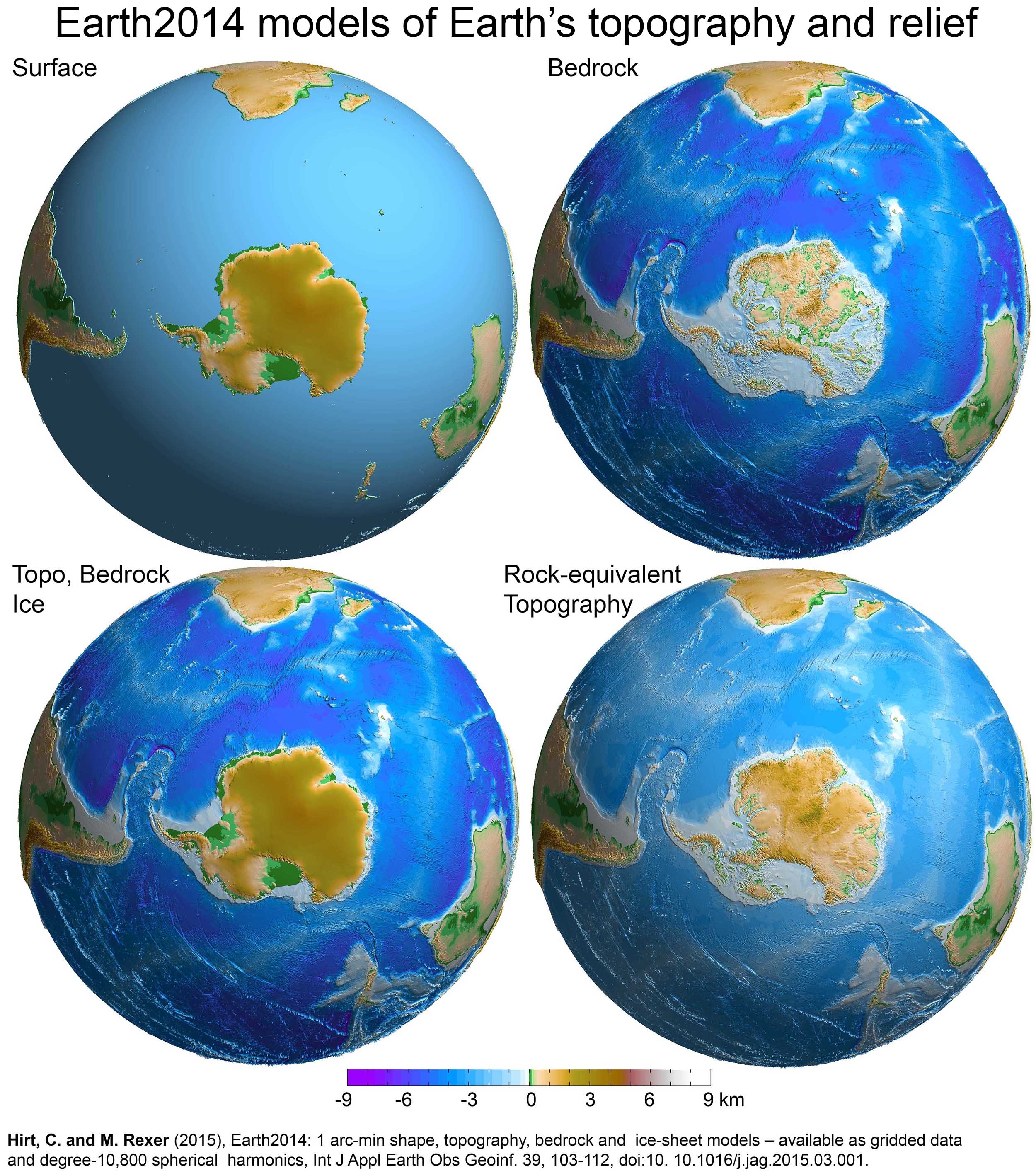
French Guiana[Note 14]

3 Antarctica[Note 15] 12,272,800[Note 16] 4,738,600 None[Note 18]
4 Australia[Note 19] 7,591,608[Note 20] 2,931,136 Australia
Dymaxion world map with continental landmasses (I,II,III,IV) and largest islands (1–30) roughly to scale

See also

[edit]

Notes

[edit]
  1. ^ The United States Geological Survey is a notable exception. The United States-based scientific agency considers all landmasses surrounded by ocean water, including continental mainlands, as islands. Under their definition, Africa, Australia, Eurasia, North America, and South America are classified as continental mainland islands.[9]
  • ^ Physiographically, there are only four continents (including offshore continental islands which sit on the nearby continental shelves) that are completely surrounded by water: Afro-Eurasia (57% of the global land area), the Americas (28.5%), Antarctica (9%), and Australia (5%). The remaining 0.5% is made up of remote oceanic islands, mostly scattered within Oceania in the central and south Pacific Ocean.[10]
  • ^ Including landmasses which are above water and over 2,500,000 km2 (970,000 sq mi). The submerged continentofZealandia (approx. 5,000,000 km2 (1,900,000 sq mi)) is excluded.[11]
  • ^ Figure derived from the Global Islands Explorer website, by adding the areas of mainland Africa (29,370,907 km2 (11,340,171 sq mi)) and mainland Eurasia (50,439,819 km2 (19,474,923 sq mi)).
  • ^ Egypt has a small portion of its land located on mainland Eurasia. Equatorial Guinea's capital city is located on an island.
  • ^ Azerbaijan, Georgia, Kazakhstan, and Turkey each have a small portion of their land located on continental Europe. Malaysia has a significant portion of its land located on an island.
  • ^ Russia has a big portion of its land located on continental Asia. Denmark's capital city is located on an island.
  • ^ 48 countries on mainland Africa[Note 5] and 78 countries on mainland Eurasia (38 countries on continental Asia[Note 6] and 40 countries on continental Europe[Note 7]).
  • ^ Abkhazia and South Ossetia are both located south of the Greater Caucasus watershed and thus geographically parts of Asia.
  • ^ Two states on mainland Africa and five states on mainland Eurasia (three states on continental Asia[Note 9] and two states on continental Europe).
  • ^ Figure derived from the Global Islands Explorer website, by adding the areas of mainland North America (20,090,075 km2 (7,756,821 sq mi)) and mainland South America (17,609,548 km2 (6,799,084 sq mi)).
  • ^ Depending on the definition, a significant portion of Panama (land east of the Panama Canal) could be considered a part of mainland South America.
  • ^ Ten countries on mainland North America[Note 12] and twelve countries on mainland South America.
  • ^ Anoverseas department and regionofFrance, located on mainland South America.
  • ^ Antarctica is a special case, for if its ice is considered not as land, but as water, it is not a single landmass, but several landmasses of much smaller area, since the ice-bedrock boundary is below sea level in many regions of the continent.[12] If its ice cover were to be lifted, some rocks that are currently below sea level would rise as the weight of the ice would be removed,[13] although this would in part be counteracted, and in some areas of the continent overtaken, by eustatic rises in sea level.[14]
  • ^ Area of mainland Antarctica, without the ice shelves and nearby islands.[15]
  • ^ All territorial claims in Antarctica are in abeyance under the Antarctic Treaty System.
  • ^ 7 countries have made 7 territorial claims.[Note 17]
  • ^ Mainland Australia is more than three times the size of Greenland, the largest island.[16] Australia is sometimes dubbed "The Island Continent" or "Earth's largest island, but its smallest continent".[17]
  • ^ Figure derived from the Geoscience Australia website, the area of mainland Tasmania (64,519 km2 (24,911 sq mi)) has been deducted.[18] The Global Islands Explorer website has given a slightly larger figure of 7,618,696 km2 (2,941,595 sq mi) for the area of mainland Australia.
  • References

    [edit]
    1. ^ "Landmass". Cambridge Dictionary. Cambridge.org Dictionary. Retrieved 17 January 2023.
  • ^ "Landmass". Merriam-Webster. Merriam-Webster.com Dictionary. Retrieved 17 January 2023.
  • ^ Cook, Peter J.; Carleton, Chris M., eds. (9 November 2000). Continental Shelf Limits: The Scientific and Legal Interface. Oxford University Press. p. 298. doi:10.1093/oso/9780195117820.001.0001. ISBN 9780197561218 – via Google Books.
  • ^ Nijman, Jan; Muller, Peter O.; de Blij, H.J. (2017). "Introduction". Regions: Geography: Realms, Regions, and Concepts (17th ed.). Wiley. p. 11. ISBN 978-1-119-30189-9.
  • ^ "Landmass". Dictionary.com. Dictionary.com, LLC. Retrieved 25 July 2020.
  • ^ Dempsey, Caitlin (2013-10-15). "Geography Facts about the World's Continents". Geography Realm. Retrieved 2022-08-26.
  • ^ Dunn, Ross E.; Mitchell, Laura J.; Ward, Kerry (23 August 2016). The New World History: A Field Guide for Teachers and Researchers. University of California Press. pp. 232–. ISBN 978-0-520-28989-5 – via Google Books.
  • ^ R.W. McColl, ed. (2005). "continents". Encyclopedia of World Geography. Vol. 1. Facts on File, Inc. p. 215. ISBN 978-0-8160-7229-3. Retrieved 25 August 2022. And since Africa and Asia are connected at the Suez Peninsula, Europe, Africa, and Asia are sometimes combined as Afro-Eurasia or Eurafrasia. The International Olympic Committee's official flag, containing [...] the single continent of America (North and South America being connected as the Isthmus of Panama).
  • ^ USGS – Global Islands Explorer
  • ^ Stephen Hawking; Lucy Hawking (9 January 2020). "Earth: What's It Made Of?". Unlocking the Universe. p. 62. ISBN 9780241418864.
  • ^ GNS Science – Earth's 8th Continent
  • ^ 3D visualisations of the Earth2014 SUR, BED, TBI and RET topography layers over the Southern Hemisphere, centred to Antarctica
  • ^ Global warming and the stability of the West Antarctic Ice Sheet, Michael Oppenheimer, 1998 (see map of Antarctica showing regions where bedrock is below sea level)
  • ^ Jonathan L. Bamber; River; Vermeersen; LeBrocq (May 2009). "Reassessment of the Potential Sea-Level Rise from a Collapse of the West Antarctic Ice Sheet". Science. 324 (59295): 901–903. Bibcode:2009Sci...324..901B. doi:10.1126/science.1169335. PMID 19443778. S2CID 11083712.
  • ^ "Antarctica in Context" (PDF). Landsat Image Mosaic Of Antarctica. United States Geological Survey.
  • ^ "Joshua Calder's World Island Info – Continent or Island?". Worldislandinfo.com. Retrieved 28 December 2021.
  • ^ "Australia in Brief - Department of Foreign Affairs and Trade". Dfat.gov.au. Archived from the original on 2003-08-20. Retrieved 2010-08-30.
  • ^ "Area of Australia – States and Territories". Geoscience Australia. 15 May 2014. Retrieved 3 November 2021.
  • icon Geology

  • Retrieved from "https://en.wikipedia.org/w/index.php?title=Landmass&oldid=1235262324"

    Categories: 
    Landforms
    Geography terminology
    Geology terminology
    Hidden categories: 
    Articles with short description
    Short description is different from Wikidata
    Articles with excerpts
    Articles with GND identifiers


    This page was last edited on 18 July 2024, at 12:40 (UTC).

    Text is available under the Creative Commons Attribution-ShareAlike License 4.0; additional terms may apply. By using this site, you agree to the Terms of Use and Privacy Policy. Wikipedia® is a registered trademark of the Wikimedia Foundation, Inc., a non-profit organization.


    Privacy policy

    About Wikipedia

    Disclaimers

    Contact Wikipedia

    Code of Conduct

    Developers

    Statistics

    Cookie statement

    Mobile view


    Wikimedia Foundation
    Powered by MediaWiki