Jump to content


Main menu


Navigation  


Main page
Contents
Current events
Random article
About Wikipedia
Contact us
Donate


Contribute  


Help
Learn to edit
Community portal
Recent changes
Upload file


Search  


Create account

Log in


Create account
 Log in


Pages for logged out editors learn more  


Contributions
Talk


Contents


(Top)


1 History  


1.1  Church of the St. Mary Peter and Paul, 1847  


2 Notable People  


3 Media  


4 Gallery  


5 See also  


6 References  


Lypetska Poliana


 / Bân-lâm-gú
Esperanto
Հայերեն
Magyar
Нохчийн
Română
Русиньскый
Русский
Українська


Edit links


Article
Talk


Read
Edit
View history


Tools


Actions  


Read
Edit
View history


General  


What links here
Related changes
Upload file
Special pages
Permanent link
Page information
Cite this page
Get shortened URL
Download QR code
Wikidata item


Print/export  


Download as PDF
Printable version


In other projects  


Wikimedia Commons


Appearance


Coordinates: 48°2051N 23°2206E / 48.34750°N 23.36833°E / 48.34750; 23.36833
 

From Wikipedia, the free encyclopedia


Lypetska Poliana
Липецька Поляна
Village
Lypetska Poliana is located in Zakarpattia Oblast
Lypetska Poliana

Lypetska Poliana

Location of Lypetska Poliana

Lypetska Poliana is located in Ukraine
Lypetska Poliana

Lypetska Poliana

Lypetska Poliana (Ukraine)

Coordinates: 48°20′51N 23°22′06E / 48.34750°N 23.36833°E / 48.34750; 23.36833
Country Ukraine
Oblast Zakarpattia Oblast
RaionKhust Raion
Founded1653
Government
 • MayorVasyl Vasyliovych[1]
Elevation
267 m (876 ft)
Population
 (2001)
 • Total2,965
Time zoneUTC+1 (CET)
 • Summer (DST)UTC+2 (CEST)
Postal code
90425
Area code+380-3142

Lypetska Poliana (Ukrainian and Rusyn: Ли́пе́цька Поля́на; Yiddish: פאליען-ליפשא; Hungarian: Lipcsemező) is a village in Khust RaionofZakarpattia Oblast, part of the Transcarpathian region of Ukraine.[3]

The center of the village council, located on the right bank of the river Rika is 22 km from the district center and the railway station Khust, on the highway Khust - Svalyava. The roadway T0712 runs through the village. This road connects with the M06 highway in Svaliava and the P21 highway near Khust.

The population at the 2001 census was 2,965 people.

History[edit]

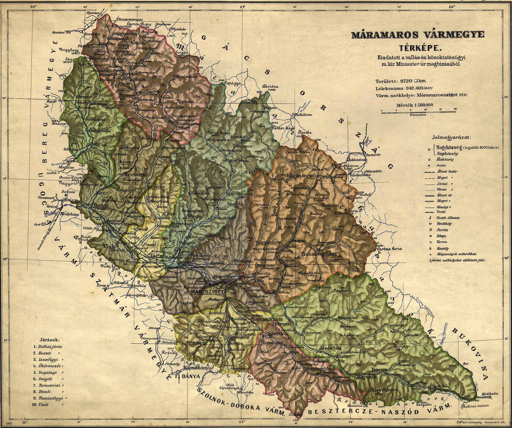
The first mention of Lypetska Poliana dates back to 1653. It has been historically an ethnically Rusyn village.[4] During the time that the area was part of the Kingdom of Hungary, the village was located in the district of Dolha of the Máramaros County.[5]

Residents were among those who emigrated to Canada and the United States looking for work during the years 1880-1918, many of them working in coal mines.[6]

In March–April 1919, Soviet power existed in the village. In 1932, the organization of the HR Committee began to operate, whose first secretary was I. Perez. After the seizure of village from the Axis October 24, 1944), 23 residents voluntarily entered the Red Army, and 9 were part of the 1st Czechoslovak Army Corps. 2 of them were awarded with orders and medals of the USSR, 18 gave their lives in battles for freedom and independence of the Motherland. In the village there is a monument to fellow villagers, who died in the struggle against the Nazis.

In 1930, the Jewish population was 239. With the Hungarian occupation of the region in March, 1939, Jews were forcefully removed from their occupations. From 1940 to 1941, Jews from the village were drafted into forced labor battalions and others were drafted for service on the Eastern front, where most died. By 1941, the Jewish population had increased to 280 and Jewish families without Hungarian citizenship were expelled to Nazi occupied Ukrainian territory, to Kamenets-Podolski, and murdered there. The remaining Jews of Lypetska Poliana were deported to Auschwitz late May, 1944.[7][8]

At the entrance to the village is located the square of the spring white blossom. This plant is listed to the Red Book of Ukraine. The size of the area is 0.3 hectares. In the forests and on the meadows grow a large number of forest berries, mushrooms, medicinal and honey plants.[6]

Church of the St. Mary Peter and Paul, 1847[edit]

In 1751 there was mention of the wooden church with a small tower, two bells and small images. The current church dates to 1847 and is a typical walled basilica with a Baroque finish.

Notable People[edit]

Media[edit]

In 1963, the Odessa film studio filmed "Tsars" in the village. Villagers participated in the movie. [6]

[10]

Gallery[edit]

Sign at the village entrance
Church

See also[edit]

References[edit]

  1. ^ "Липецько-Полянська сільська рада - Закарпатська область".
  • ^ "Хустська районна державна адміністрація Закарпатська область - Картка району".
  • ^ "Log in | JewishGen Login". login.jewishgen.org. Retrieved 28 March 2023.
  • ^ "Národopisná mapa Uher podle úredního lexikonu osad z. R. 1773... / Prof. A. Petrov". 1924.
  • ^ "Khust district state administration". Retrieved 28 March 2023.
  • ^ a b c Назарій Павлій (16 November 2017). "Липецька Поляна". Facebook.
  • ^ "Lypetska Polyana (Lipcsemező, Lipecká Poľana ), Ukraine KehilaLink". kehilalinks.jewishgen.org. Retrieved 28 March 2023.
  • ^ "Липецька Поляна - туристична принада Хустського району". 17 November 2017.
  • ^ "Поетична збірка Василя Химишинця『А сонце струшує проміння』побачила світ на Закарпатті (ФОТО) @ Закарпаття онлайн".
  • ^ Цари [Tsars] (in Ukrainian). Lypetksa Polyana: Odesa Film Studio. 1964. Retrieved 11 November 2023.

  • Retrieved from "https://en.wikipedia.org/w/index.php?title=Lypetska_Poliana&oldid=1213187013"

    Categories: 
    Carpatho-Ukraine
    Villages in Khust Raion
    Holocaust locations in Ukraine
    Hidden categories: 
    Pages using gadget WikiMiniAtlas
    CS1 Ukrainian-language sources (uk)
    Use dmy dates from March 2023
    Articles with short description
    Short description is different from Wikidata
    Articles containing Ukrainian-language text
    Coordinates on Wikidata
    Articles containing Yiddish-language text
    Articles containing Hungarian-language text


    This page was last edited on 11 March 2024, at 15:26 (UTC).

    Text is available under the Creative Commons Attribution-ShareAlike License 4.0; additional terms may apply. By using this site, you agree to the Terms of Use and Privacy Policy. Wikipedia® is a registered trademark of the Wikimedia Foundation, Inc., a non-profit organization.


    Privacy policy

    About Wikipedia

    Disclaimers

    Contact Wikipedia

    Code of Conduct

    Developers

    Statistics

    Cookie statement

    Mobile view


    Wikimedia Foundation
    Powered by MediaWiki