Jump to content


Main menu


Navigation  


Main page
Contents
Current events
Random article
About Wikipedia
Contact us
Donate


Contribute  


Help
Learn to edit
Community portal
Recent changes
Upload file


Search  


Create account

Log in


Create account
 Log in


Pages for logged out editors learn more  


Contributions
Talk


Contents


(Top)


1 Route description  


2 History  


3 Landmarks  


4 References  


5 External links  


Padre Burgos Avenue


Español
Tagalog
 

Edit links


Article
Talk


Read
Edit
View history


Tools


Actions  


Read
Edit
View history


General  


What links here
Related changes
Upload file
Special pages
Permanent link
Page information
Cite this page
Get shortened URL
Download QR code
Wikidata item


Print/export  


Download as PDF
Printable version


In other projects  


Wikimedia Commons


Appearance


Coordinates: 14°3521N 120°5850E / 14.58917°N 120.98056°E / 14.58917; 120.98056
 

From Wikipedia, the free encyclopedia
 

(Redirected from Padre Burgos Street)

Padre Burgos Avenue

C-1
Padre Burgos Street
Padre Burgos Avenue with the National Museum of Fine Arts (right) and the Manila City Hall (background)
Former name(s)Paseo/Calzada de las Aguadas
Paseo/Calzada de Sebastián Vidal
Paseo/Calzada de Bagumbayan
Part of
  • C-1 C-1 from Finance Road to Roxas Boulevard & Bonifacio Drive
  • N150 from Roxas Boulevard & Bonifacio Drive to MacArthur Bridge
  • N170 from Quezon Bridge to Liwasang Bonifacio (southbound only)
  • NamesakeJose Burgos
    Sebastián Vidal y Soler (formerly)
    Maintained byDepartment of Public Works and Highways - South Manila District Engineering Office[1]
    Length1.7 km (1.1 mi)[2]
    Approximate length
    LocationManila
    North endNear Liwasang BonifacioinErmita
    Major
    junctions
  • N180 (Finance Road)
  • South end AH 26 (N120) (Bonifacio Drive and Roxas Boulevard) in Ermita and Intramuros
    Map

    Padre Burgos Avenue, also known as Padre Burgos Street, is a 14-lane thoroughfare in Manila, Philippines.

    The road was named after Jose Burgos, one of the martyred Gomburza priests who were executed at the nearby Bagumbayan Field (present-day Rizal Park) in 1872.[citation needed] It is a road in the center of the city providing access to several important thoroughfares like Taft Avenue, Rizal Avenue, Roxas Boulevard, and Quezon Boulevard. The avenue is a component of Circumferential Road 1 (C-1) of Metro Manila's arterial road network and National Route 150 (N150) and National Route 170 (N170) of the Philippine highway network. The Manila City Hall can be accessed using this road, as can the Rizal Park and Intramuros.

    Route description

    [edit]

    Padre Burgos Avenue starts at the end of Jones Bridge, MacArthur Bridge, and Quezon Bridge, respectively, at the southern bank of the Pasig River near Liwasang Bonifacio. It then merges near Mehan Garden and continues south until it branches to two – Taft Avenue and itself – when it reaches the National Museum of Fine Arts at Rizal Park. It will then turn sharply right, intersecting with Finance Drive, the major thoroughfare of Rizal Park which leads to Ayala Boulevard and Ayala Bridge, therefore the other parts of C-1. Padre Burgos Avenue ends with a junction with Roxas Boulevard, Bonifacio Drive, and Katigbak Drive, its logical continuation towards Quirino Grandstand.[1]

    The avenue is a component of National Route 150 (N150), except for its southbound segment between Quezon Bridge and Liwasang Bonifacio Overpass that is a component of National Route 170 (N170). Its segment from its southern end at Roxas Boulevard and Bonifacio Drive, both components of Radial Road 1, to Finance Drive is a component of Circumferential Road 1 (C-1).

    History

    [edit]

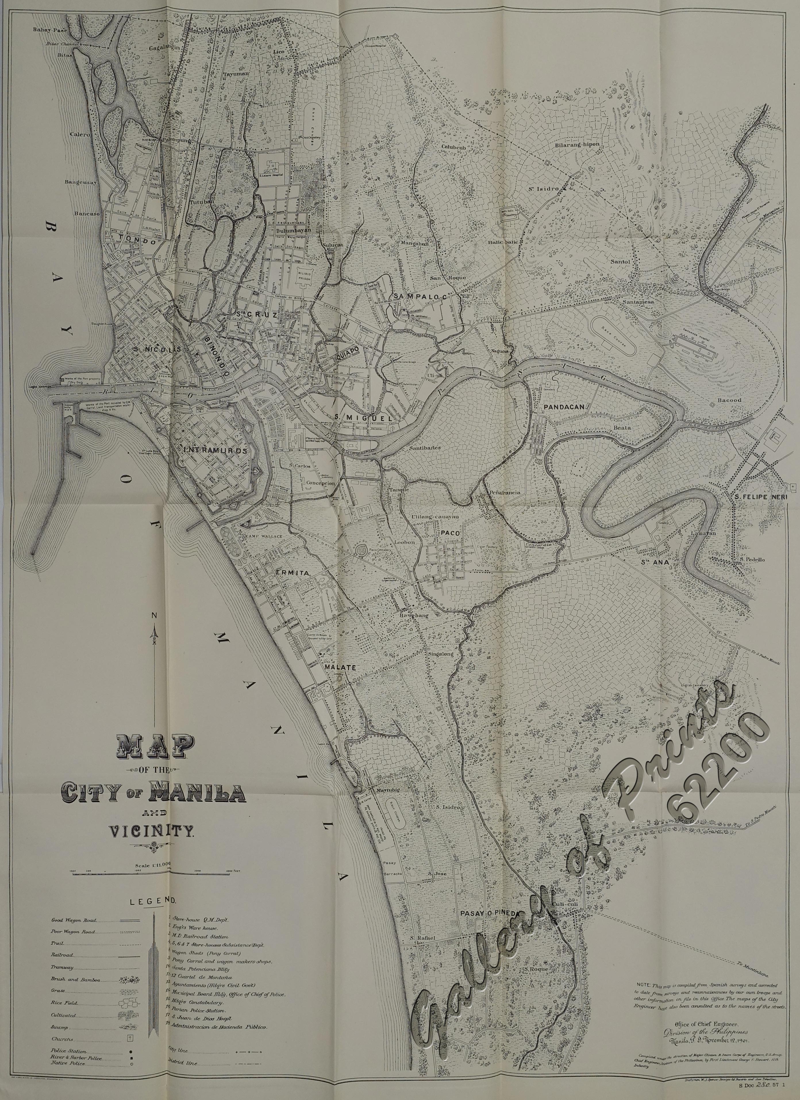
    The origin of Padre Burgos Avenue could be traced back as a street running in parallel along the moat surrounding the walled area of Intramuros, called Paseo de las Aguadas[3]orCalzada de las Aguadas, Calzada de Vidal[4]orPaseo de Sebastián Vidal (apparently named after Spanish botanist Sebastián Vidal y Soler, director of the nearby Botanical Garden of Manila),[5] and Calzada de BagumbayanorPaseo de Bagumbayan (for being the street that leads to Bagumbayan Field).[6] It used to end at Plaza Lawton at the north. It was also one of the right-of-way alignments of tranvía that existed until 1945.[7] The avenue's present-day section near Quezon Bridge occupies what was known as Calle Colgante, which provided access to the bridge's predecessor, Puente Colgante.[8]

    Landmarks

    [edit]

    Starting from the northern terminus, the road passes the following:[citation needed]

    References

    [edit]
    1. ^ a b "Road and Bridge Inventory". Department of Public Works and Highways. Retrieved December 29, 2022.
  • ^ "Padre Burgos Avenue southbound". Google Maps. Retrieved July 20, 2022.
  • ^ de Gamoneda, Francisco J. (1898). Plano de Manila y sus Arrables [Map of Manila and its suburbs] (Map). 1:10,000 (in Spanish).
  • ^ Map of the City of Manila and vicinity (Map). United States. War Department. General Staff. 1907. Retrieved March 27, 2022.
  • ^ "Paseo de Sebastián Vidal (previously known as Paseo de las Aguadas). This was later renamed Calzada de Bagumbayan and is today known as Padre Burgos Ave. (source: Paquito dela Cruz)". Pinterest. Retrieved February 27, 2022.
  • ^ Map of the City of Manila and Vicinity (Map). 1:11000. Office of Chief Engineers, Division of the Philippines. November 12, 1901. Retrieved November 27, 2021.
  • ^ City of Manila, Philippine Island (Map). 1:11000. Manila: John Bach. 1920. Retrieved February 27, 2022.
  • ^ Map of city of Manila and vicinity (Map). 1:10560. Manila?: Office of Dept. Engineer, Phil. Dept. June 1915. Retrieved June 9, 2024.
  • [edit]

    14°35′21N 120°58′50E / 14.58917°N 120.98056°E / 14.58917; 120.98056


    Retrieved from "https://en.wikipedia.org/w/index.php?title=Padre_Burgos_Avenue&oldid=1234168147"

    Categories: 
    Streets in Manila
    Ermita
    Hidden categories: 
    CS1 Spanish-language sources (es)
    Pages using gadget WikiMiniAtlas
    Articles with short description
    Short description is different from Wikidata
    Articles needing additional references from April 2021
    All articles needing additional references
    Use mdy dates from November 2022
    Use Philippine English from November 2022
    All Wikipedia articles written in Philippine English
    All articles with unsourced statements
    Articles with unsourced statements from April 2021
    Commons category link is defined as the pagename
    Coordinates on Wikidata
    Pages using the Kartographer extension


    This page was last edited on 12 July 2024, at 23:06 (UTC).

    Text is available under the Creative Commons Attribution-ShareAlike License 4.0; additional terms may apply. By using this site, you agree to the Terms of Use and Privacy Policy. Wikipedia® is a registered trademark of the Wikimedia Foundation, Inc., a non-profit organization.


    Privacy policy

    About Wikipedia

    Disclaimers

    Contact Wikipedia

    Code of Conduct

    Developers

    Statistics

    Cookie statement

    Mobile view


    Wikimedia Foundation
    Powered by MediaWiki