
| Part of a serieson |
| Traditional African religions |
|---|
 |
|
Religions |
|
Doctrines |
|
Deities |
|
Sacred places |
|
Education |
|
Priesthood |
|
Relation with other religions |
|
|
|
|
Sangha
| |
|---|---|
 Sangha Location in Mali | |
| Coordinates: 14°27′54″N 3°18′22″W / 14.46500°N 3.30611°W / 14.46500; -3.30611 | |
| Country | |
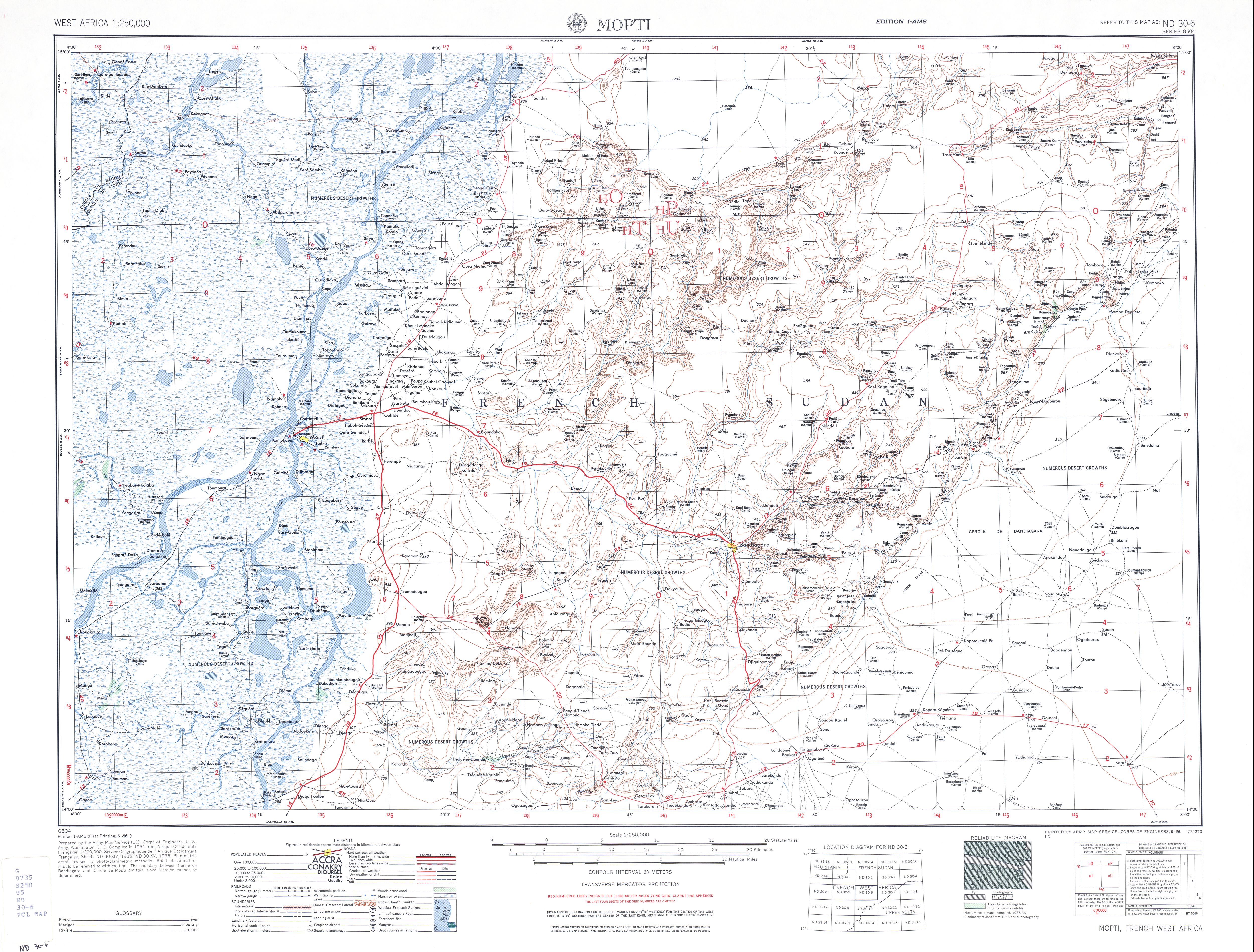
| Region | Mopti Region |
| Cercle | Bandiagara Cercle |
| Population
(2009 census)[1]
| |
| • Total | 32,513 |
| Time zone | UTC+0 (GMT) |
Sangha (sometimes spelled Sanga) is a rural commune in the Cercle of Bandigara in the Mopti RegionofMali. The commune contains around 44 small villages and in the 2009 census had a population of 32,513. The administrative centre (chef-lieu) is the village of Sangha Ogol Leye, one of a cluster of at least 10 small villages at the top of the Bandiagara Escarpment.
The commune is known as a centre for Dogon traditional religion with many temples and shrines, and as a base for visitors to the local Dogon villages. Toro So is spoken in the village of Sangha.[2] Most of the ethnographic work by Marcel Griaule was carried out among the Dogon of Sangha.


![]() Media related to Sangha at Wikimedia Commons
Media related to Sangha at Wikimedia Commons
|
Dogon topics
| |||||
|---|---|---|---|---|---|
| People |
|
| |||
| Religion |
| ||||
| History |
| ||||
| Demographic |
| ||||
| Culture |
| ||||
This Mopti Region location article is a stub. You can help Wikipedia by expanding it. |
