Jump to content


Main menu


Navigation  


Main page
Contents
Current events
Random article
About Wikipedia
Contact us
Donate


Contribute  


Help
Learn to edit
Community portal
Recent changes
Upload file


Search  


Create account

Log in


Create account
 Log in


Pages for logged out editors learn more  


Contributions
Talk


Contents


(Top)


1 See also  


2 References  


Sayramsu


Cebuano
فارسی
Қазақша
Türkçe
 

Edit links


Article
Talk


Read
Edit
View history


Tools


Actions  


Read
Edit
View history


General  


What links here
Related changes
Upload file
Special pages
Permanent link
Page information
Cite this page
Get shortened URL
Download QR code
Wikidata item


Print/export  


Download as PDF
Printable version


Appearance


Coordinates: 42°1557N 69°4114E / 42.2658°N 69.6871°E / 42.2658; 69.6871
 

From Wikipedia, the free encyclopedia


Sayramsu
Sayramsu is located in Kazakhstan
Sayramsu

Mouth location in Kazakhstan

Native nameСайрамсу (Kazakh)
Location
CountryKazakhstan
RegionTurkistan
DistrictTole Bi, Sayram
Physical characteristics
Source 
 • locationUgam Range[1]
 • coordinates42°12′01N 70°23′16E / 42.200145°N 70.387681°E / 42.200145; 70.387681
 • elevationc. 1,655 m (5,430 ft)[2]
Mouth 

 • location

Badam[3]

 • coordinates

42°15′57N 69°41′14E / 42.2658°N 69.6871°E / 42.2658; 69.6871

 • elevation

c. 569 m (1,867 ft)[2]
Length76 km (47 mi)
Basin size1,060 km2 (410 sq mi)
Basin features
ProgressionBadamArysSyr DaryaNorth Aral Sea

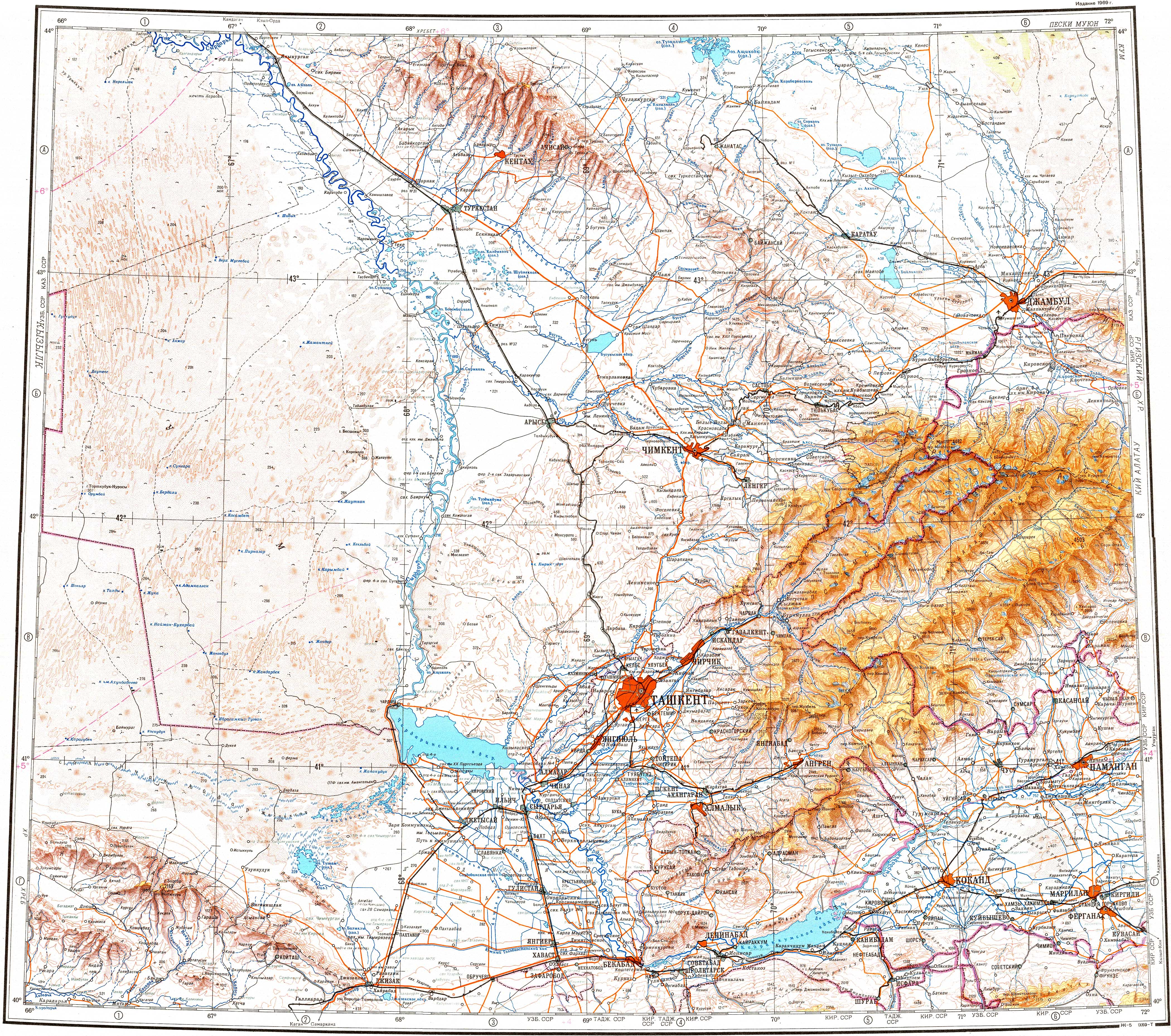
The Sayramsu (Kazakh: Сайрамсу) is a river of southern Kazakhstan. It is a tributary of the Badam near Shymkent.[4]

See also

[edit]

References

[edit]
  1. ^ "Source location in Old Soviet Map (shown as: Сайрамсу) (Russian) 1:100.000". Archived from the original on 12 November 2023. Retrieved 12 November 2023.
  • ^ a b Google Earth
  • ^ "Mouth location in Old Soviet Map (shown as: Сайрамсу) (Russian) 1:100.000". Archived from the original on 12 November 2023. Retrieved 12 November 2023.
  • ^ "K-42 Topographic Chart (maps.vlasenko.net) (Russian) 1:1.000.000". Archived from the original on 20 October 2022. Retrieved 12 November 2023.
  • t
  • e

  • Retrieved from "https://en.wikipedia.org/w/index.php?title=Sayramsu&oldid=1184826830"

    Categories: 
    Tributaries of the Syr Darya
    Rivers of Kazakhstan
    Asia river stubs
    Kazakhstan geography stubs
    Europe river stubs
    Hidden categories: 
    Pages using gadget WikiMiniAtlas
    Articles with short description
    Short description is different from Wikidata
    Articles containing Kazakh-language text
    Coordinates on Wikidata
    All stub articles


    This page was last edited on 12 November 2023, at 21:52 (UTC).

    Text is available under the Creative Commons Attribution-ShareAlike License 4.0; additional terms may apply. By using this site, you agree to the Terms of Use and Privacy Policy. Wikipedia® is a registered trademark of the Wikimedia Foundation, Inc., a non-profit organization.


    Privacy policy

    About Wikipedia

    Disclaimers

    Contact Wikipedia

    Code of Conduct

    Developers

    Statistics

    Cookie statement

    Mobile view


    Wikimedia Foundation
    Powered by MediaWiki