Jump to content


Main menu


Navigation  


Main page
Contents
Current events
Random article
About Wikipedia
Contact us
Donate


Contribute  


Help
Learn to edit
Community portal
Recent changes
Upload file


Search  


Create account

Log in


Create account
 Log in


Pages for logged out editors learn more  


Contributions
Talk


Contents


(Top)


1 History  


1.1  Disappearance  


2 Geography  


2.1  Vulcan Point  


3 References  


Taal Volcano Main Crater Lake


Add links


Article
Talk


Read
Edit
View history


Tools


Actions  


Read
Edit
View history


General  


What links here
Related changes
Upload file
Special pages
Permanent link
Page information
Cite this page
Get shortened URL
Download QR code
Wikidata item


Print/export  


Download as PDF
Printable version


Appearance


Coordinates: 14°0035N 120°5954E / 14.00972°N 120.99833°E / 14.00972; 120.99833
 

From Wikipedia, the free encyclopedia


Main Crater Lake
Yellow Lake
Aerial view of Main Crater Lake prior to the 2020 eruption of Taal Volcano
The lake prior to the 2020 eruption of Taal Volcano
Main Crater Lake is located in Philippines
Main Crater Lake

Main Crater Lake

Location within the Philippines

LocationBatangas
Coordinates14°00′35N 120°59′54E / 14.00972°N 120.99833°E / 14.00972; 120.99833
TypeCrater lake
Primary inflowsTaal Lake
Primary outflowsTaal Lake
Catchment areaTaal Lake
Basin countriesPhilippines
Max. length1 km (0.62 mi)
Max. width1.9 km (1.2 mi)[1]
Surface area1.2 km2 (0.46 sq mi)
Average depth100 m (330 ft)[2][3]
Max. depth172 m (564 ft)[2]
Water volume24.256×10^9 m3 (856.6×10^9 cu ft)
Shore length1115 km (71 mi)
Surface elevation4 m (13 ft)
Islands
  • Unnamed island
  • Settlements
  • Talisay
  • Map
    1 Shore length is not a well-defined measure.

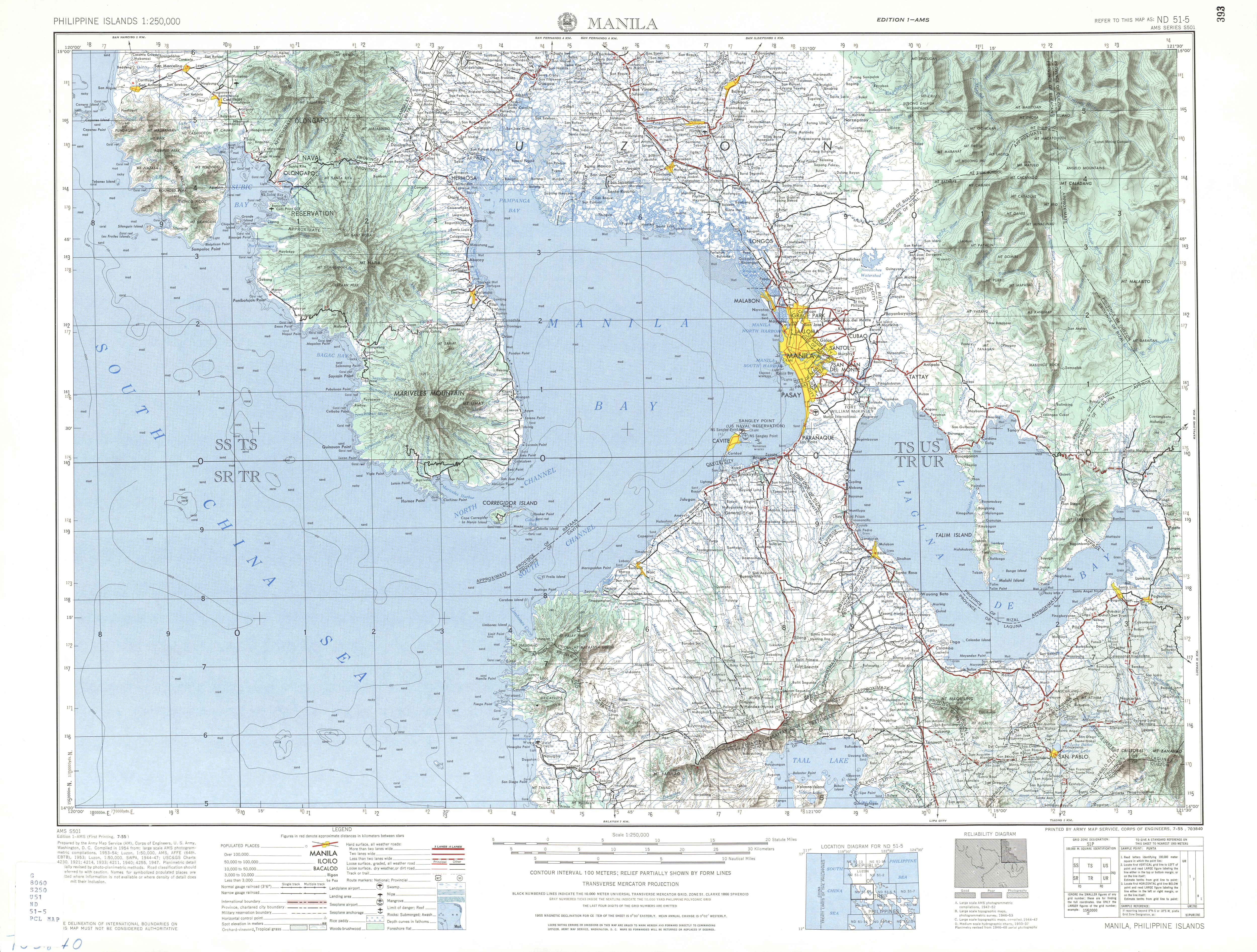
    Taal Volcano Main Crater Lake (IPA: [taʔal]; or simply Main Crater Lake[3]), historically known as Yellow Lake,[4] is a lake inside the main crater of Taal Volcano. The origin of the lake is uncertain but is thought to have formed by rainwater. The lake briefly disappeared after the 2020 eruption of Taal Volcano.[5][6]

    There is an island inside of Main Crater Lake, called Vulcan Point.

    History[edit]

    Disappearance[edit]

    After the January 12, 2020, eruption of Taal Volcano, satellite images showed that the water in Main Crater Lake had disappeared.[7][8] Although the main cause of its disappearance is unknown, it is suggested that the water must have dried up due to the fissures that formed after the eruption.[7] The lava beneath the volcano may also have contributed to the evaporation of the lake.[5]

    After Taal Volcano calmed down, a series of typhoons allowed rain to re-accumulate and reform Main Crater Lake.

    Geography[edit]

    Vulcan Point[edit]

    Vulcan Point
    Vulcan Point is located in Philippines
    Vulcan Point

    Vulcan Point

    Location within the Philippines

    Geography
    LocationTaal Volcano
    Coordinates14°00′35N 120°59′54E / 14.00972°N 120.99833°E / 14.00972; 120.99833
    Adjacent toMain Crater Lake
    Administration

    Philippines

    RegionCalabarzon
    ProvinceBatangas
    MunicipalitiesSan Nicolas
    Demographics
    Population0 (uninhabited)

    Vulcan Point Island, or simply Vulcan Point, is a small rocky island inside of Main Crater Lake which was once covered with vegetation before the 2020 eruption, which it survived. It is one of only a few islands in a lake on an island in a lake on an island in the world.[9] It projects from the surface underneath Main Crater Lake, which was the remnant of the old crater floor that was filled in by the lake.

    References[edit]

    1. ^ Gavilan, Jodesz (January 13, 2020). "FAST FACTS: What you should know about Taal Volcano". Rappler. Retrieved February 1, 2020.
  • ^ a b "Lake Taal". International Lake Environment Committee. Archived from the original on March 6, 2012. Retrieved March 17, 2012.
  • ^ a b "Taal Volcano". Philippine Institute of Volcanology and Seismology. Retrieved February 1, 2020.
  • ^ U.S. Army Corps of Engineer (1954). "Manila (Topographic map)"". University of Texas in Austin Library. Retrieved August 3, 2014.
  • ^ a b "Philippines Taal Volcano has lost its Main Crater Lake". The Washington Post. January 17, 2020. Retrieved February 1, 2020.
  • ^ "Image shows ash, lava visible at Taal Volcano's main crater". GMA News. January 23, 2020. Retrieved February 1, 2020.
  • ^ a b "Dramatic Changes at the Heart of Taal Volcano Spied by Satellites". Retrieved February 2, 2020.
  • ^ "Taal volcano's inner lake all but gone in eruption". BBC News. January 16, 2020. Retrieved February 2, 2020.
  • ^ "Some interesting islands and lakes". Elbruz. Archived from the original on September 19, 2013. Retrieved February 1, 2014.
  • t
  • e

  • Retrieved from "https://en.wikipedia.org/w/index.php?title=Taal_Volcano_Main_Crater_Lake&oldid=1191109084"

    Categories: 
    Lakes of the Philippines
    Volcanic crater lakes
    Calabarzon geography stubs
    Hidden categories: 
    Pages using gadget WikiMiniAtlas
    Articles with short description
    Short description is different from Wikidata
    Coordinates on Wikidata
    Articles using infobox body of water without pushpin map alt
    Articles using infobox body of water without image bathymetry
    Pages with Tagalog IPA
    All stub articles
    Pages using the Kartographer extension


    This page was last edited on 21 December 2023, at 15:55 (UTC).

    Text is available under the Creative Commons Attribution-ShareAlike License 4.0; additional terms may apply. By using this site, you agree to the Terms of Use and Privacy Policy. Wikipedia® is a registered trademark of the Wikimedia Foundation, Inc., a non-profit organization.


    Privacy policy

    About Wikipedia

    Disclaimers

    Contact Wikipedia

    Code of Conduct

    Developers

    Statistics

    Cookie statement

    Mobile view


    Wikimedia Foundation
    Powered by MediaWiki