Jump to content


Main menu


Navigation  


Main page
Contents
Current events
Random article
About Wikipedia
Contact us
Donate


Contribute  


Help
Learn to edit
Community portal
Recent changes
Upload file


Search  


Create account

Log in


Create account
 Log in


Pages for logged out editors learn more  


Contributions
Talk


Contents


(Top)


1 History  


2 Course  


3 Bridges  


3.1  Pulkhatyn Bridge  


4 See also  


5 References  


6 External links  


Hari (Afghanistan)


العربية
Azərbaycanca

Беларуская
Bikol Central
Български
Català
Чӑвашла
Cebuano
Čeština
Cymraeg
Dansk
Deutsch
Ελληνικά
Español
Euskara
فارسی
Français

Հայերեն
ि
Hrvatski
Bahasa Indonesia
Italiano

Кыргызча
Latina
Latviešu
Lietuvių
Magyar

مصرى
مازِرونی

Norsk bokmål
Norsk nynorsk
Oʻzbekcha / ўзбекча
پنجابی
پښتو
Polski
Português
Русский


Slovenčina
Srpskohrvatski / српскохрватски
Suomi
Svenska
Тоҷикӣ
Türkçe
Türkmençe
Українська
Tiếng Vit


Edit links


Article
Talk


Read
Edit
View history


Tools


Actions  


Read
Edit
View history


General  


What links here
Related changes
Upload file
Special pages
Permanent link
Page information
Cite this page
Get shortened URL
Download QR code
Wikidata item


Print/export  


Download as PDF
Printable version


In other projects  


Wikimedia Commons


Appearance


Coordinates: 34°39N 66°43E / 34.650°N 66.717°E / 34.650; 66.717
 

From Wikipedia, the free encyclopedia
 

(Redirected from Tedzhen river)

Hari River
Location
CountriesAfghanistan and Turkmenistan
Physical characteristics
Source 
 • locationKoh-i-Baba
Mouth 

 • location

Karakum Desert
Length1,100 km (680 mi)
Basin size39,300 km2

The Hari River (Persian: هریرودorDari: هری رود, romanized: Harī Rōd; Pashto: د هري سیند) or Herat RiverorTejen RiverorHarirud is a river flowing 1,100 kilometres (680 mi) from the mountains of central AfghanistantoTurkmenistan, where it forms the Tejen oasis and disappears in the Karakum Desert. In its lower course, the river forms a northern part of the border between Afghanistan and Iran, and a southeastern part of the border between Turkmenistan and Iran.

The name of the river derives from the Old Persian word Harawaiah 'river rich in water'.[1]

In Turkmenistan, the Hari is known as the TejenorTedzhen river and passes close to the city of Tejen. To the ancient Greeks, it was known as the Arius.[2]InLatin, it was known as the Tarius.

History

[edit]

One theory suggests that the Rigvedic Sarayu and the Hari are the same river.[3][4]

ABuddhist monastery hand-carved in the bluff of the river Harirud existed in the first centuries during the prevalence of Buddhism. The artificial caves revealed testimony of daily life of the Buddhist monks.[5]

Course

[edit]
The Hari River near Herat

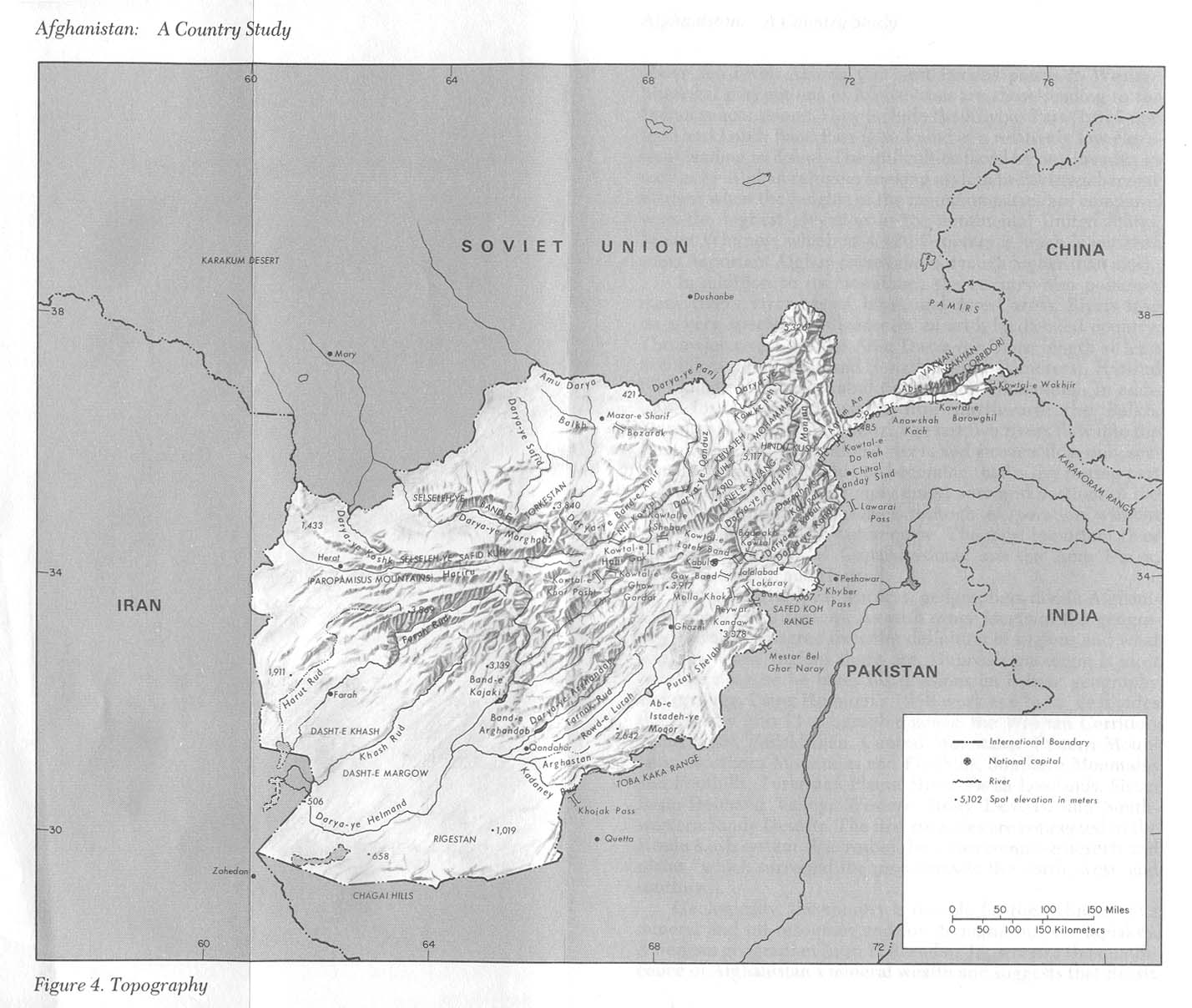
The river originates in the eastern part of Ghor Province in the Baba mountain range, part of the extensions of Hindu Kush system, and follows a relatively straight course to the west.

Some 200 kilometres (120 mi) upstream from Herat, the river meets the Jam River at the site of the Minaret of Jam, the second tallest ancient minaret in the world at 65 metres (213 ft).

In western Afghanistan, the Hari Rud flows to the south of Herat. The valley around Herat with the Paropamisus Mountains (Selseleh-ye Safēd Kōh) on the right river bank was historically famous for its fertility and dense cultivation. After Herat, the river turns northwest, then north, forming the northern part of the border between Afghanistan and Iran. Farther north it forms the south-eastern part of the border between Iran and Turkmenistan. The Iran–Turkmenistan Friendship Dam is on the river.[6]

The Afghan-India Friendship Dam (Salma Dam) is a hydroelectric and irrigation dam project located on the Hari Rud in Chishti sharif DistrictofHerat Province in western Afghanistan.

The average annual discharge of the Hari Rud is about 55 m3/s, but during a spring flood in 1939 the discharge went up to 1090 m3/s.[7]

In 2000, the river dried up completely during a 10-month drought.[8]

Bridges

[edit]

Pulkhatyn Bridge

[edit]

An unused stone-bridge of five arches, this falls in the Ahal Region of Turkmenistan.[9] It is about 2 kilometres (1.2 mi) north of Iran–Turkmenistan Friendship Dam.[9]

Pulkhatyn translates to "wealthy woman."[9]InTurkmen lore, the custodian of the bridge was a woman who made a fortune by taxing all travelers; Alexander the Great had apparently refused to pay this fee and crossed further downstream.[9]

See also

[edit]

References

[edit]
  1. ^ Everett-Heath, John (2019-10-24). The Concise Oxford Dictionary of World Place Names. Oxford University Press. doi:10.1093/acref/9780191882913.001.0001. ISBN 978-0-19-188291-3.
  • ^ George Rawlinson (1873). The sixth great Oriental monarchy; or The geography, history, & antiquities of Parthia, collected and illustrated from ancient and modern sources. pp. 69, 444(index).
  • ^ Irfan Habib; Vijay Kumar Thakur, eds. (2003). The Vedic Age and the Coming of Iron, C. 1500-700 B.C. Tulika. p. 4.
  • ^ Early Aryans of India, 3100–1400 B.C. By S. B. Roy Page 76
  • ^ Lithuanian archeologists make discovery in Afghanistan, The Baltic Times, May 22, 2008; Archaeologists make new discoveries about ancient Afghan cultures, Top News, 23 May 2008.
  • ^ Shroder, John F. (2016). "Hari Rud – Murghab River Basin". Transboundary Water Resources in Afghanistan: Climate Change and Land-Use Implications. Saint Louis: Elsevier. pp. 410–412. ISBN 978-0-12-801861-3.
  • ^ "DLM 3 Rivers of the Hindu Kush, Pamir, and Hindu Raj". International Programs. 24 April 2019. Retrieved 31 October 2020.
  • ^ "Iran-Turkmen river flowing again after drought". Parvand News. 3 January 2001. Archived from the original on 9 November 2019. Retrieved 15 January 2021.
  • ^ a b c d Brummell, Paul (2005). Turkmenistan. Bradt Travel Guides. p. 132. ISBN 9781841621449.
  • [edit]

    34°39′N 66°43′E / 34.650°N 66.717°E / 34.650; 66.717


    Retrieved from "https://en.wikipedia.org/w/index.php?title=Hari_(Afghanistan)&oldid=1234032563"

    Categories: 
    Rivers of Afghanistan
    Rivers of Turkmenistan
    International rivers of Asia
    Rivers of Iran
    AfghanistanIran border
    IranTurkmenistan border
    Landforms of Bamyan Province
    Landforms of Herat Province
    Landforms of Ghor Province
    Border rivers
    Hidden categories: 
    Pages using gadget WikiMiniAtlas
    Articles with short description
    Short description is different from Wikidata
    Articles containing Persian-language text
    Articles containing Dari-language text
    Articles containing Pashto-language text
    Coordinates on Wikidata
    Articles with J9U identifiers
    Articles with LCCN identifiers


    This page was last edited on 12 July 2024, at 06:54 (UTC).

    Text is available under the Creative Commons Attribution-ShareAlike License 4.0; additional terms may apply. By using this site, you agree to the Terms of Use and Privacy Policy. Wikipedia® is a registered trademark of the Wikimedia Foundation, Inc., a non-profit organization.


    Privacy policy

    About Wikipedia

    Disclaimers

    Contact Wikipedia

    Code of Conduct

    Developers

    Statistics

    Cookie statement

    Mobile view


    Wikimedia Foundation
    Powered by MediaWiki