
Temanggung Regency
Kabupaten Temanggung
ꦏꦨꦸꦥꦠꦺꦤ꧀ꦠꦼꦩꦔ꧀ꦒꦸꦁ | |
|---|---|

Rice fields in Pringsurat, Temanggung Regency
| |

Coat of arms | |
| Motto(s):
Swadaya Bhumi Phala
(Raising the yields by self-subsistent) | |

Location within Central Java
| |
 Temanggung Regency Location in Java and Indonesia Show map of Java Temanggung Regency Temanggung Regency (Indonesia) Show map of Indonesia | |
| Coordinates: 7°18′S 110°10′E / 7.300°S 110.167°E / -7.300; 110.167 | |
| Country | Indonesia |
| Region | Java |
| Province | Central Java |
| Named for | Temanggung Village |
| Capital | Temanggung |
| Government | |
| • Body | Local Government of Temanggung Regency |
| • Regent | M Al Khadziq |
| Area | |
| • Total | 870.65 km2 (336.16 sq mi) |
| Population
(mid 2023 estimate)[1]
| |
| • Total | 808,446 |
| • Density | 930/km2 (2,400/sq mi) |
| Time zone | UTC+7 (IWST) |
| Area code | (+62) 293 |
| Vehicle registration | AA |
| Website | temanggungkab |
Temanggung Regency (Indonesian: Kabupaten Temanggung) is an inland regency in the Central Java Province of Indonesia. It covers a land area of 870.65 km2 and had a population of 708,546 at the 2010 Census[2] and 790,174 at the 2020 Census;[3] the official estimate as of mid-2023 was 808,446, comprising 406,100 males and 402,346 females.[1] Its capital is the town of Temanggung.
All travellers going to the Dieng temple complex from YogyaorSemarang have to pass through this regency.
Temanggung Regency is famous for longan, a small sweet fruit that is harvested in January and February.
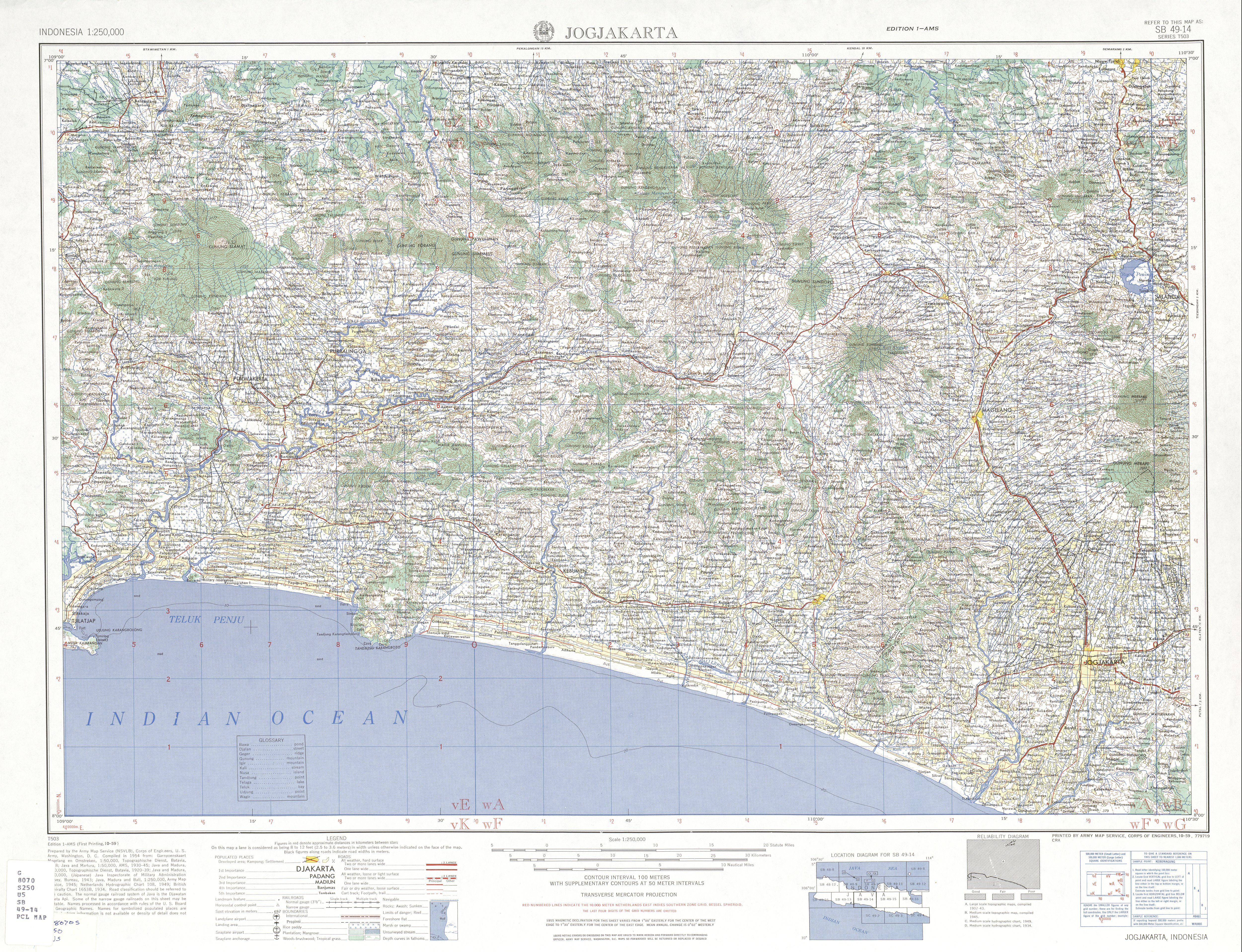
Temanggung Regency is located on the volcanic Dieng Plateau with an average elevation between 500 and 1450 metres. It is landlocked. The volcanoes Mount Sundoro and Mount Sumbing rise on its border with the Wonosobo Regency. Its major drainage system is the Progo River and its tributaries.
It is bordered by:
Temanggung Regency is divided into the following twenty districts (kecamatan), listed below with their areas and their populations at the 2010 Census[2] and the 2020 Census,[3] together with the official estimates as at mid-2023.[1] The table also includes the number of administrative villages in each district (totaling 266 rural desa and 23 urban kelurahan), and their postcodes.
| Kode Wilayah |
Name of District (kecamatan) |
Area in km2 |
Pop'n Census 2010 |
Pop'n Census 2020 |
Pop'n Estimate mid 2023 |
No. of villages |
Post code |
|---|---|---|---|---|---|---|---|
| 33.23.08 | Parakan | 22.23 | 49,024 | 53,322 | 54,158 | 16(a) | 56254 |
| 33.23.17 | Kledung | 32.21 | 24,280 | 27,652 | 28,463 | 13 | 56264 |
| 33.23.16 | Bansari | 22.54 | 21,583 | 23,973 | 24,498 | 13 | 56265 |
| 33.23.01 | Bulu | 43.04 | 44,068 | 48,745 | 49,751 | 19 | 56253 |
| 33.23.03 | Temanggung (district) |
33.39 | 76,037 | 82,929 | 84,294 | 25(b) | 56211 - 56218, 56221 - 56229 |
| 33.23.14 | Tlogomulyo | 24.84 | 21,198 | 23,270 | 23,698 | 12 | 56263 |
| 33.23.02 | Tembarak | 26.84 | 27,773 | 31,227 | 32,023 | 13 | 56261 |
| 33.23.15 | Selopampang | 17.29 | 17,672 | 20,244 | 20,873 | 12 | 56262 |
| 33.23.13 | Kranggan | 57.61 | 42,894 | 49,212 | 50,764 | 13(c) | 56271 |
| 33.23.04 | Pringsurat | 57.27 | 46,204 | 52,209 | 53,618 | 14 | 56272 |
| 33.23.05 | Kaloran | 63.92 | 39,749 | 45,064 | 46,325 | 14 | 56282 |
| 33.23.06 | Kandangan | 78.36 | 45,998 | 52,145 | 53,603 | 16 | 56281 |
| 33.23.07 | Kedu | 34.96 | 53,134 | 59,147 | 60,479 | 14 | 56252 |
| 33.23.09 | Ngadirejo | 53.31 | 50,168 | 56,142 | 57,495 | 20 | 56255 |
| 33.23.10 | Jumo | 29.32 | 27,212 | 29,837 | 30,376 | 13(d) | 56256 |
| 33.23.20 | Gemawang | 67.11 | 30,472 | 33,518 | 34,155 | 10 | 56283 |
| 33.23.12 | Candiroto | 59.94 | 29,554 | 32,509 | 33,127 | 14 | 56257 |
| 33.23.18 | Bejen | 68.84 | 18,837 | 21,399 | 22,010 | 14 | 56258 |
| 33.23.11 | Tretep | 33.65 | 19,051 | 21,229 | 21,714 | 11 | 56259 |
| 33.23.19 | Wonoboyo | 43.98 | 23,638 | 26,401 | 27,022 | 13 | 56266 |
| Totals | 870.65 | 708,546 | 790,174 | 808,446 | 289 |
Notes: (a) including 2 kelurahan - Parakan Wetan and Parakan Kauman. (b) comprising 19 kelurahan (Banyuurip, Butuh, Giyanti, Jampirejo, Jampiroso, Jurang, Kebonsari, Kertosari, Kowangan, Madureso, Manding, Mungseng, Purworejo, Sidorejo, Temanggung I, Temanggung II, Tlogorejo, Walitelon Selatan and Walitelon Utara) and 6 desa. (c) including 1 kelurahan - Kranggan. (d) including 1 kelurahan - Manggong. All districts bear the same name as their administrative centres, except Parakan District (of which the centre is Parakan Wetan) and Temanggung District (of which the centre is Jampirejo).
The major towns of Temanggung Regency, aside from the capital of Temanggung, include Candiroto, Jumo, Kaloran, Kandangan, Kranggan, Muntung, Ngadirejo, Parakan, and Tretep.
Temanggung has an elevation moderated tropical rainforest climate (Af) with moderate rainfall from June to September and heavy to very heavy rainfall from October to May. The following climate data is for the town of Temanggung.
| Climate data for Temanggung | |||||||||||||
|---|---|---|---|---|---|---|---|---|---|---|---|---|---|
| Month | Jan | Feb | Mar | Apr | May | Jun | Jul | Aug | Sep | Oct | Nov | Dec | Year |
| Mean daily maximum °C (°F) | 26.9 (80.4) |
27.0 (80.6) |
27.5 (81.5) |
27.9 (82.2) |
28.2 (82.8) |
28.3 (82.9) |
28.3 (82.9) |
28.8 (83.8) |
29.0 (84.2) |
29.1 (84.4) |
28.0 (82.4) |
27.0 (80.6) |
28.0 (82.4) |
| Daily mean °C (°F) | 22.9 (73.2) |
22.9 (73.2) |
23.3 (73.9) |
23.5 (74.3) |
23.8 (74.8) |
23.3 (73.9) |
23.0 (73.4) |
23.2 (73.8) |
23.6 (74.5) |
24.1 (75.4) |
23.6 (74.5) |
22.8 (73.0) |
23.3 (74.0) |
| Mean daily minimum °C (°F) | 18.9 (66.0) |
18.9 (66.0) |
19.2 (66.6) |
19.2 (66.6) |
19.4 (66.9) |
18.4 (65.1) |
17.7 (63.9) |
17.7 (63.9) |
18.3 (64.9) |
19.1 (66.4) |
19.2 (66.6) |
18.7 (65.7) |
18.7 (65.7) |
| Average rainfall mm (inches) | 343 (13.5) |
310 (12.2) |
353 (13.9) |
251 (9.9) |
161 (6.3) |
90 (3.5) |
74 (2.9) |
62 (2.4) |
89 (3.5) |
150 (5.9) |
239 (9.4) |
331 (13.0) |
2,453 (96.4) |
| Source: Climate-Data.org[4] | |||||||||||||
After World War II, Temanggung Regency was one of the areas in central Java where the Communist Party (PKI) had its rural strongholds. In the 21st century, Temanggung Regency provided a hideout for members of the Islamist Jemaah Islamiyah.[5]

The majority of the population of the Temanggung Regency is Muslim. It was once predominantly Hindu for thousands of years. The oldest stone structure in Indonesia is found here; four temples of Shiva, and one of the trinity of Hinduism. Though there were 400, only four remain.[6]
The big cash crop in the Temanggung Regency is tobacco.[7] Other cash crops include patchouli oil, honey and soy oil. The traditional herbal medicine, jamu, is the basis of local industry, as is the production of cigars. Silkworms are raised in the area around the town of Candiroto.
There is a rail line from Parakan through the town of Temanggung south to Magelang and on to the junction with the coastal rail lines;[8] however, it is currently closed by the government due to operational costs.

![]() Media related to Temanggung Regency at Wikimedia Commons
Media related to Temanggung Regency at Wikimedia Commons
|
Regencies and cities of Central Java
| ||
|---|---|---|
Capital: Semarang | ||
| Regencies |
|
|
| Cities |
| |
See also: List of populated places in Central Java • List of regencies and cities of Indonesia | ||
| International |
|
|---|---|
| National |
|
| Geographic |
|
7°18′S 110°10′E / 7.300°S 110.167°E / -7.300; 110.167
