Jump to content


Main menu


Navigation  


Main page
Contents
Current events
Random article
About Wikipedia
Contact us
Donate


Contribute  


Help
Learn to edit
Community portal
Recent changes
Upload file


Search  


Create account

Log in


Create account
 Log in


Pages for logged out editors learn more  


Contributions
Talk


Contents


(Top)


1 Geography  


2 History  


3 Facilities  


4 Education  


5 References  


6 External links  


Urandangi


Add links


Article
Talk


Read
Edit
View history


Tools


Actions  


Read
Edit
View history


General  


What links here
Related changes
Upload file
Special pages
Permanent link
Page information
Cite this page
Get shortened URL
Download QR code
Wikidata item


Print/export  


Download as PDF
Printable version


Appearance


Coordinates: 21°3630S 138°1851E / 21.6083°S 138.3141°E / -21.6083; 138.3141 (Urandangi (town centre))
 

From Wikipedia, the free encyclopedia


Urandangi
Queensland
Urandangi Hotel in 2004
Urandangi is located in Queensland
Urandangi

Urandangi

Coordinates21°36′30S 138°18′51E / 21.6083°S 138.3141°E / -21.6083; 138.3141 (Urandangi (town centre))
Established1885
Postcode(s)4824
Time zoneAEST (UTC+10:00)
Location
LGA(s)Shire of Boulia
State electorate(s)Gregory
Federal division(s)Kennedy

Urandangi (formerly also spelled Urandangie) is an outback town in the localityofPiturie in the Shire of Boulia, Queensland, Australia.[1]

Geography[edit]

The town is located on the banks of the Georgina RiverinCentral West Queensland, 2,007 kilometres (1,247 mi) north west of the state capital, Brisbane and 187 kilometres (116 mi) south west of the regional centre of Mount Isa.

Urandangi is in the Channel Country. All watercourses in this area are part of the Lake Eyre drainage basin,[2] and most will dry up before their water reaches Lake Eyre.[3]

The predominant land use is grazing on native vegetation.[2]

The Marmanya Aboriginal community is located in Urandangi.[4]

History[edit]

Waluwarra (also known as Warluwarra, Walugara, and Walukara) is an Australian Aboriginal language of Western Queensland. Its traditional language region is the local government area of Shire of Boulia, including Walgra Station and Wolga, from Roxborough Downs north to Carandotta Station and Urandangi on the Georgina River, on Moonah Creek to Rochedale, south-east of Pituri Creek.[5]

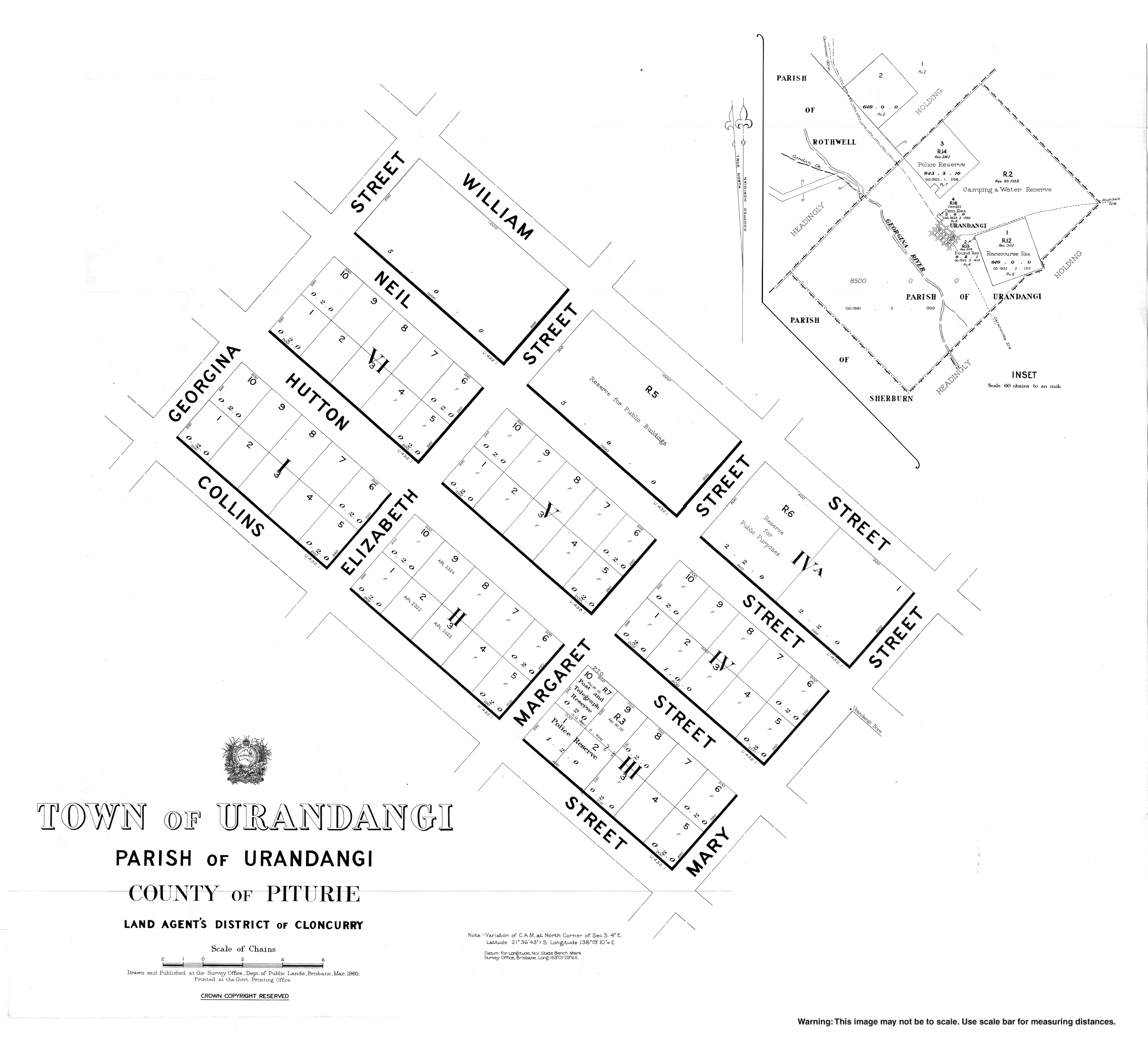
An unnamed township was established 2 August 1883. On 12 December 1884, it was officially named Urandangi. The name is believed to be derived Aboriginal words, uranda-ngie, meaning much gidyea.[1]

The township was a centre for travellers and drovers where a stock route crossed the Georgina River. By 1920 Urandangi had a pub, two stores, post office, police station and a dance hall.[6]

Urandangie Provisional School opened circa 1898. On 1 January 1909 it became Urandangie State School. It closed circa 1910, but reopened on 30 January 1922. It closed circa 1933.[7]

On 11 April 1994 Urandangi State School (slightly different spelling) opened.[7]

In March 2023, Urangangi was inundated with over 7 metres (23 ft) of floodwater resulting in the evacuation of the entire town. Due to the extent of the damage, it is uncertain if the town will survive.[8] As at August 2023, the school is officially open but is not operating as there are no students.[9]

Facilities[edit]

In 2023 prior to the floods, Urandangi's only major facility was the Urandangi Hotel (also known as the "Dangi Pub"). It was also the town's post office, grocery store, petrol station, and Centrelink office.[10]

Education[edit]

Urandangi State School is a government primary (Early Childhood-6) school for boys and girls on the Urandangi North Road (21°35′46S 138°20′09E / 21.5962°S 138.3359°E / -21.5962; 138.3359 (Urandangi State School)).[11][12] It had only 8 students enrolled in 2015.[13] In 2018, the school had an enrolment of 8 students with 2 teachers and 2 non-teaching staff (1 full-time equivalent).[14] In 2022, the school had an enrolment of 12 students.[15]

There are no secondary schools in Urandangi.[2] The nearest secondary school is in Mount Isa but too far for a daily commute.[2] The Spinifex State CollegeinMount Isa offers boarding facilities.[16] Other boarding schools or distance education would be options.

References[edit]

  1. ^ a b "Urandangi – town (entry 35864)". Queensland Place Names. Queensland Government. Retrieved 9 April 2017.
  • ^ a b c d "Queensland Globe". State of Queensland. Retrieved 15 August 2019.
  • ^ FitzSimons, Trish (2010). "Channel Country". Queensland Historical Atlas. University of Queensland. Archived from the original on 15 August 2019. Retrieved 15 August 2019.
  • ^ Anderson, John (17 May 2010). "The voice not heard". Townsville Bulletin. Archived from the original on 27 March 2012. Retrieved 6 November 2010.
  • ^ This Wikipedia article incorporates CC-BY-4.0 licensed text from: "Waluwarra". Queensland Aboriginal and Torres Strait Islander languages map. State Library of Queensland. Retrieved 30 January 2020.
  • ^ "Queensland's Outback: Urandangi". Queensland Holidays. Tourism Queensland. Archived from the original on 27 September 2011. Retrieved 6 November 2010.
  • ^ a b Queensland Family History Society (2010), Queensland schools past and present (Version 1.01 ed.), Queensland Family History Society, ISBN 978-1-921171-26-0
  • ^ "Residents consider future after historic outback town 'wiped off the map' by flooding". ABC News. 29 March 2023. Retrieved 29 August 2023.
  • ^ "Urandangi State School". Urandangi State School. 29 November 2020. Retrieved 29 August 2023.
  • ^ Anderson, John (4 May 2010). "Urandangi gateway to anywhere". Townsville Bulletin. Archived from the original on 27 March 2012. Retrieved 6 November 2010.
  • ^ "State and non-state school details". Queensland Government. 9 July 2018. Archived from the original on 21 November 2018. Retrieved 21 November 2018.
  • ^ "Urandangi State School". Archived from the original on 26 March 2012. Retrieved 21 November 2018.
  • ^ "Urandangi State School Annual Report 2015". Education Queensland. 30 June 2016. Archived from the original on 2 February 2017. Retrieved 30 January 2017.
  • ^ "ACARA School Profile 2018". Australian Curriculum, Assessment and Reporting Authority. Archived from the original on 27 August 2020. Retrieved 28 January 2020.
  • ^ "School annual report 2022" (PDF). Urandangi State School. p. 2. Retrieved 30 August 2023.
  • ^ "Residential Campus" (PDF). Spinifex State College. 2015. Archived (PDF) from the original on 15 August 2019. Retrieved 15 August 2019.
  • External links[edit]


    Retrieved from "https://en.wikipedia.org/w/index.php?title=Urandangi&oldid=1230028037"

    Categories: 
    Towns in Queensland
    Populated places established in 1885
    Shire of Boulia
    Hidden categories: 
    Pages using gadget WikiMiniAtlas
    Articles incorporating text from the State Library of Queensland
    Use dmy dates from July 2016
    Use Australian English from July 2016
    All Wikipedia articles written in Australian English
    Articles with short description
    Short description matches Wikidata
    Coordinates on Wikidata
    Commons category link is locally defined


    This page was last edited on 20 June 2024, at 04:39 (UTC).

    Text is available under the Creative Commons Attribution-ShareAlike License 4.0; additional terms may apply. By using this site, you agree to the Terms of Use and Privacy Policy. Wikipedia® is a registered trademark of the Wikimedia Foundation, Inc., a non-profit organization.


    Privacy policy

    About Wikipedia

    Disclaimers

    Contact Wikipedia

    Code of Conduct

    Developers

    Statistics

    Cookie statement

    Mobile view


    Wikimedia Foundation
    Powered by MediaWiki