My website, Old English Made Easy, contains a dictionary, and links to several translation projects, such as the Bible, GNOME, Wikipedia, and Wiktionary.
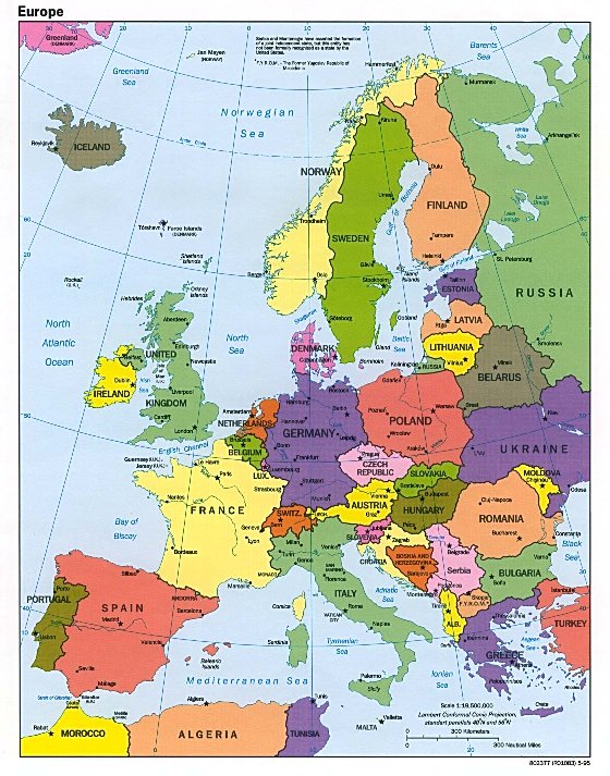
Is there anyone able to make a map of Germany, using the 1871 borders (minus the Schleswig that went to Denmark) on modern Europe? I would like to see some of the following map styles:
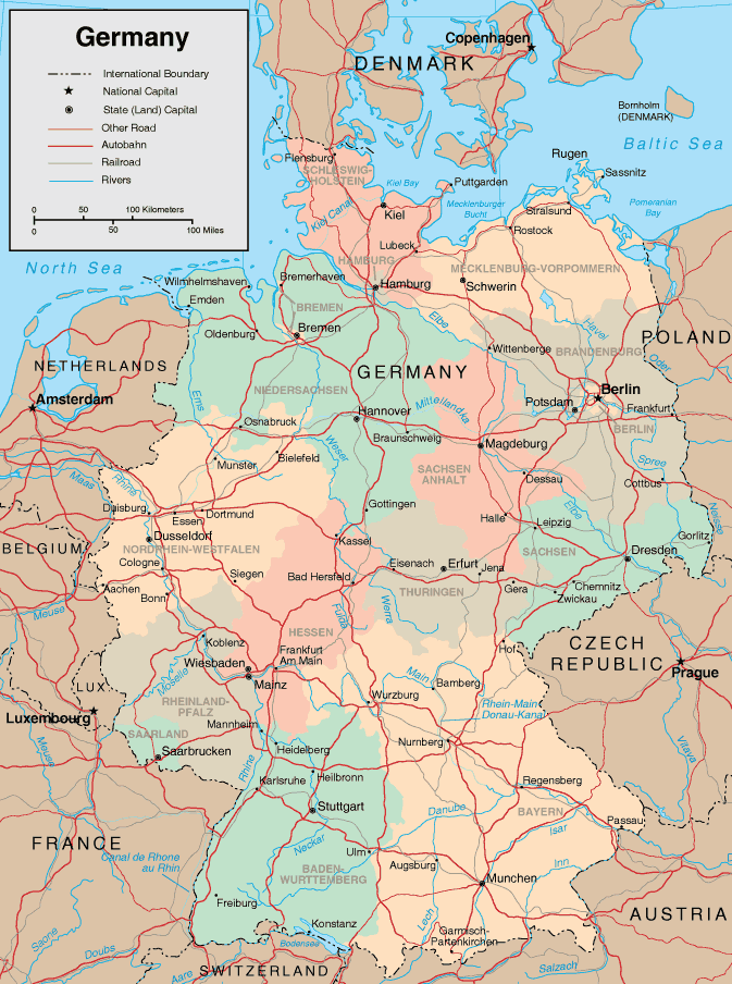
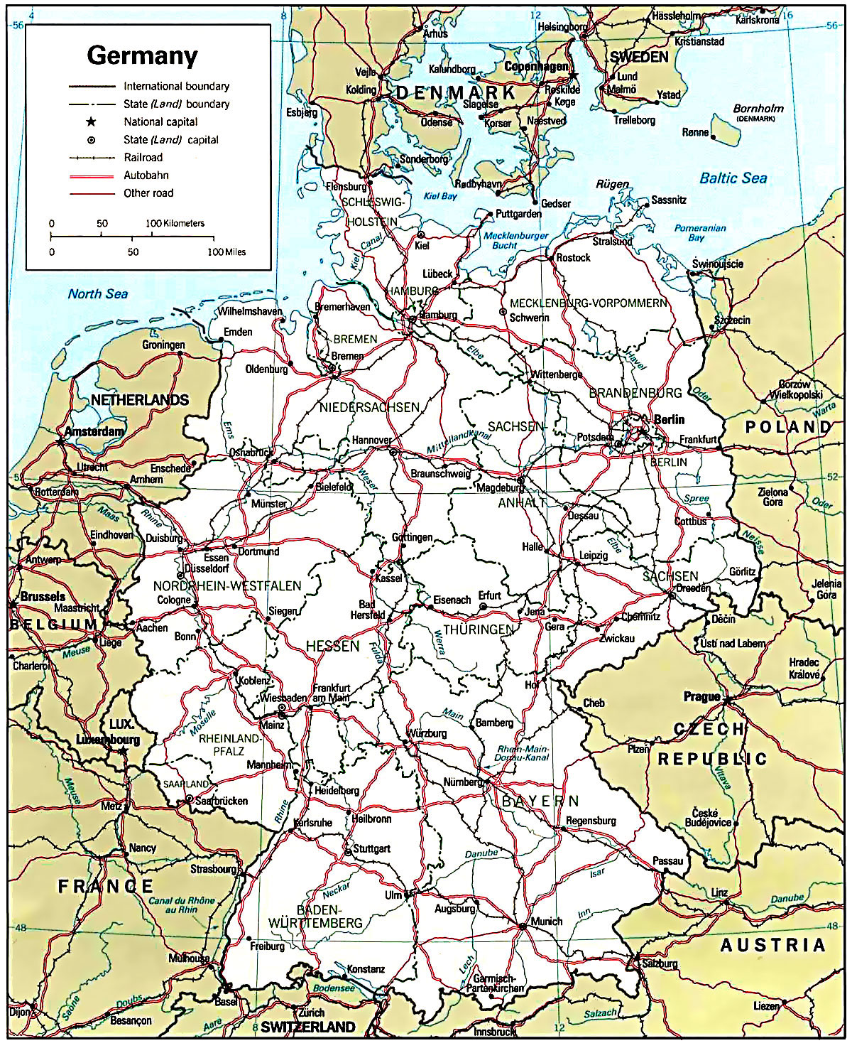
I've already made this map, but it's a rough guide. I can only use MS Paint (I'm not that good a mapmaker :) ). Basically, I took the modern Bundesländer, and the Prussian provinces and put them together. I'm looking mostly for the differences from modern Germany, mainly East/West Prussia, Elsaß-Lothringen, the expanded Brandenburg, Silesien, Posen, Pommern, and Mecklenberg. Also a list of the administrative divisions and cities for those hypothetical states. Thanks in advance!
Category:Germany
