Jump to content


Main menu


Navigation  


Main page
Contents
Current events
Random article
About Wikipedia
Contact us
Donate


Contribute  


Help
Learn to edit
Community portal
Recent changes
Upload file


Search  


Create account

Log in


Create account
 Log in


Pages for logged out editors learn more  


Contributions
Talk


Ust-Olenyok


تۆرکجه
Հայերեն
Latviešu
Lietuvių
Нохчийн
Русский
Саха тыла
Українська
 

Edit links


Article
Talk


Read
Edit
View history


Tools


Actions  


Read
Edit
View history


General  


What links here
Related changes
Upload file
Special pages
Permanent link
Page information
Cite this page
Get shortened URL
Download QR code
Wikidata item


Print/export  


Download as PDF
Printable version


Appearance


Coordinates: 72°59N 119°49E / 72.983°N 119.817°E / 72.983; 119.817
 

From Wikipedia, the free encyclopedia


Ust-Olenyok
Усть-Оленёк
Location of Ust-Olenyok
Map
Ust-Olenyok is located in Russia
Ust-Olenyok

Ust-Olenyok

Location of Ust-Olenyok

Ust-Olenyok is located in Sakha Republic
Ust-Olenyok

Ust-Olenyok

Ust-Olenyok (Sakha Republic)

Coordinates: 72°59′N 119°49′E / 72.983°N 119.817°E / 72.983; 119.817
CountryRussia
Federal subjectSakha Republic[1]
Administrative districtBulunsky District[1]
Rural okrugYstannakhsky Rural Okrug[1]
Population
 • Total27

Administrative status

 • CapitalofYstannakhsky Rural Okrug[1]

Municipal status

 • Municipal districtBulunsky Municipal District[3]
 • Rural settlementTyumetinsky Rural Settlement[3]
Time zoneUTC+9 (MSK+6 Edit this on Wikidata[4])
Postal code(s)[5]
678415Edit this on Wikidata
OKTMOID98612445111

Ust-Olenyok (Russian: Усть-Оленёк; Yakut: Уус Өлөөн / Ыстааннаах, Uus Ölöön / Istaannaax) is a rural locality (aselo), the only inhabited locality, and the administrative center of Ystannakhsky Rural Okrug of Bulunsky District in the Sakha Republic, Russia, located 365 kilometers (227 mi) from Tiksi, the administrative center of the district.[1] Its population as of the 2010 Census was 27,[2] down from 52 recorded during the 2002 Census.[1]

Geography

[edit]

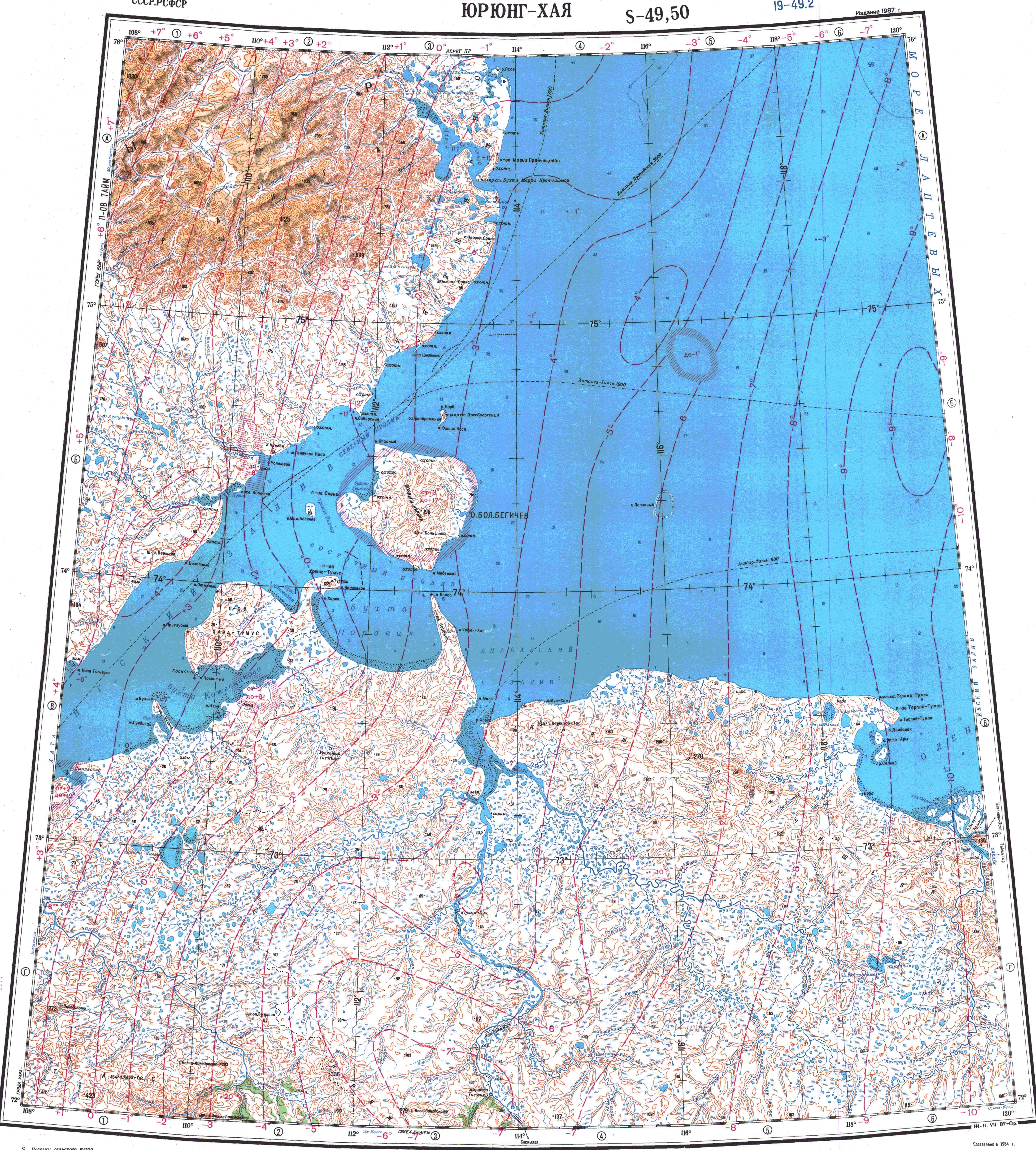
The settlement is located on the slope of a low hill, by the right bank of the mouth of the Olenyok River. The confluence of the Buolkalakh is located about 9 km (5.6 mi) upstream on the facing bank.[6]

History

[edit]

The first settlement was a wintering hut built in 1633 near the modern village. It served as the administrative center of the desolate area and it was used by Arctic expeditions in different occasions in history.[7]

1921 picture of the grave of Vasili and Tatiana Pronchishchev in Ust-Olenyok. The tomb was moved after the bodies were exhumed in 1999.

Climate

[edit]

Ust-Olenyok has a tundra climate (ET) with short, cool summers and long, severely cold winters. On June 30, 2020, the temperature soared to 93.7 °F (34.3 °C) which may be the farthest north above 90 °F (32.2 °C) recorded above the 72 °N parallel. The following morning the temperature only dropped to 72.7 °F (22.6 °C).[8]

Climate data for Ust-Olenyok
Month Jan Feb Mar Apr May Jun Jul Aug Sep Oct Nov Dec Year
Record high °C (°F) −12.8
(9.0)
−10.4
(13.3)
8.0
(46.4)
15.0
(59.0)
12.0
(53.6)
34.3
(93.7)
31.1
(88.0)
26.2
(79.2)
25.0
(77.0)
14.5
(58.1)
1.0
(33.8)
−6.3
(20.7)
31.1
(88.0)
Mean daily maximum °C (°F) −30.6
(−23.1)
−29.6
(−21.3)
−24.6
(−12.3)
−16.2
(2.8)
−5.4
(22.3)
5.5
(41.9)
12.3
(54.1)
10.0
(50.0)
2.7
(36.9)
−10.3
(13.5)
−23.3
(−9.9)
−28.0
(−18.4)
−12.6
(9.3)
Daily mean °C (°F) −33.4
(−28.1)
−32.4
(−26.3)
−28.1
(−18.6)
−20.2
(−4.4)
−8.3
(17.1)
2.5
(36.5)
8.4
(47.1)
6.7
(44.1)
0.5
(32.9)
−13.0
(8.6)
−26.4
(−15.5)
−30.9
(−23.6)
−15.7
(3.7)
Mean daily minimum °C (°F) −36.8
(−34.2)
−35.9
(−32.6)
−32.2
(−26.0)
−25.3
(−13.5)
−12.5
(9.5)
−0.9
(30.4)
4.1
(39.4)
3.4
(38.1)
−2.0
(28.4)
−16.3
(2.7)
−29.7
(−21.5)
−34.3
(−29.7)
−19.4
(−2.9)
Record low °C (°F) −50.0
(−58.0)
−52.0
(−61.6)
−46.1
(−51.0)
−40.3
(−40.5)
−28.9
(−20.0)
−25.0
(−13.0)
−2.2
(28.0)
−6.1
(21.0)
−12.2
(10.0)
−40.0
(−40.0)
−46.2
(−51.2)
−49.1
(−56.4)
−52.0
(−61.6)
Average precipitation mm (inches) 7.2
(0.28)
7.7
(0.30)
12.6
(0.50)
14.2
(0.56)
14.3
(0.56)
26.3
(1.04)
21.2
(0.83)
36.5
(1.44)
22.1
(0.87)
34.1
(1.34)
16.5
(0.65)
10.7
(0.42)
223.4
(8.80)
Source: [9]

References

[edit]

Notes

[edit]
  1. ^ a b c d e f g h Registry of the Administrative-Territorial Divisions of the Sakha Republic
  • ^ a b Sakha Republic Territorial Branch of the Federal State Statistics Service. Results of the 2010 All-Russian Census. Численность населения по районам, городским и сельским населённым пунктам (Population Counts by Districts, Urban and Rural Inhabited Localities) (in Russian)
  • ^ a b Law #173-Z 353-III
  • ^ "Об исчислении времени". Официальный интернет-портал правовой информации (in Russian). June 3, 2011. Retrieved January 19, 2019.
  • ^ Почта России. Информационно-вычислительный центр ОАСУ РПО. (Russian Post). Поиск объектов почтовой связи (Postal Objects Search) (in Russian)
  • ^ "Топографска карта S-49 50; M 1:1 000 000 - Topographic USSR Chart (in Russian)". Retrieved May 3, 2022.
  • ^ Olenyok wintering hut, a historical monument of Eastern Siberia . Bulletin of Tomsk State University. No. 3 (23), 2013
  • ^ "100-Degree Fahrenheit Temperature Confirmed in Siberia; 90s Measured at Russian Arctic Coast". The Weather Channel. Retrieved July 16, 2020.
  • ^ "Weather Averages for Ust-Olenyok (1955-1991)". climatebase.ru. Retrieved December 18, 2014.
  • Sources

    [edit]


    Retrieved from "https://en.wikipedia.org/w/index.php?title=Ust-Olenyok&oldid=1220545019"

    Categories: 
    Rural localities in Bulunsky District
    Olenyok basin
    Hidden categories: 
    Pages using gadget WikiMiniAtlas
    Articles with Russian-language sources (ru)
    CS1 Russian-language sources (ru)
    Articles with short description
    Short description is different from Wikidata
    Infobox mapframe without OSM relation ID on Wikidata
    Coordinates on Wikidata
    Pages using infobox settlement with image map1 but not image map
    Articles containing Russian-language text
    Articles containing Yakut-language text
    Use mdy dates from February 2014
    Pages using the Kartographer extension


    This page was last edited on 24 April 2024, at 13:32 (UTC).

    Text is available under the Creative Commons Attribution-ShareAlike License 4.0; additional terms may apply. By using this site, you agree to the Terms of Use and Privacy Policy. Wikipedia® is a registered trademark of the Wikimedia Foundation, Inc., a non-profit organization.


    Privacy policy

    About Wikipedia

    Disclaimers

    Contact Wikipedia

    Code of Conduct

    Developers

    Statistics

    Cookie statement

    Mobile view


    Wikimedia Foundation
    Powered by MediaWiki