
ファイル:Ireland adm location map.svg

元のファイル (SVG ファイル、1,449 × 1,806 ピクセル、ファイルサイズ: 761キロバイト)
ウィキメディア・コモンズのファイルページにある説明を、以下に表示します。 |
概要
| 解説 |
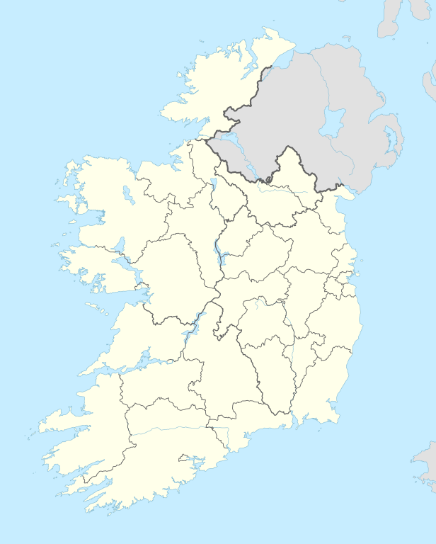
Deutsch: Positionskarte von Irland
English: Location map of Ireland
|
||||||||||||
| 日付 | |||||||||||||
| 原典 |
次のものを使用した投稿者自身による著作物::
|
||||||||||||
| 作者 | NordNordWest | ||||||||||||

|
この地図は、ドイツ語版の(地図研究室)で制作、もしくは改善されたものです。更なる改善の為、地図を提案することもできます。
|
ライセンス
Usage of this file with:

explanatory notes: Legally binding is only the full legalcode. For a free usage I recommend to respect the following licence conditions:
1. Provide my name as given above: NordNordWest,
2. a copy of, or the URI for, the applicable license: https://creativecommons.org/licenses/by-sa/3.0/de/legalcode,
3. the title of the work,
4. in the case of an adaptation, a credit identifying the use of the work in the adaptation.
This license and the rights granted hereunder will terminate automatically upon any breach by you of the terms of this license. Any of the above conditions can be waived if you get permission from the copyright holder. If you have questions or wish differing conditions, please contact me through nnwest or my discussion page ![]() t-online.de
t-online.de

ファイルの履歴
過去の版のファイルを表示するには、その版の日時をクリックしてください。
| 日付と時刻 | サムネイル | 寸法 | 利用者 | コメント | |
|---|---|---|---|---|---|
| 現在の版 | 2014年9月18日 (木) 17:37 | | 1,449 × 1,806 (761キロバイト) | NordNordWest | == {{int:filedesc}} == {{Information |Description= {{de|1=Positionskarte von Irland}} {{en|1=Location map of Ireland}} {{Location map series N |top=55.6 |bottom=51.2 |left=-11.0 |right=-5.0 }} |Source={{Own using}} * United States National Imagery and... |
ファイルの使用状況
以下の 67 ページがこのファイルを使用しています:
- 2018年のリーグ・オブ・アイルランド・プレミアディビジョン
- 2019年のリーグ・オブ・アイルランド・プレミアディビジョン
- アイルランド・ウェスト空港
- アイルランド空軍
- アッシュフォード城
- イニッシュトラウール島
- インベリン
- ウェストポート (アイルランド)
- ウォーターフォード
- エニス
- カラ競馬場
- キャバン
- キル (ウォーターフォード県)
- キル (キルデア県)
- キル (ラスダウン)
- グラフトン・ストリート
- ケリー空港
- コロフィン
- コング (アイルランド)
- コーク (アイルランド)
- コーク空港
- ゴールウェイ
- サミュエル・ベケット橋
- シャノン空港
- ジェイムス・ジョイスタワーと博物館
- タバカリー
- タラモア
- ダブリン・コンベンション・センター
- ダブリン空港
- ダンキン
- ダン・レアリー
- ティナヒン城
- テンプルバー (ダブリン)
- ディングル
- トラリー
- トリニティ・カレッジ (ダブリン大学)
- トーリー島の海戦
- ドウス (遺跡)
- ドニゴール空港
- ドロモア城 (クレア県)
- ドーキー
- ニューグレンジ
- ニュートゥーポットハウス
- ネルソンの柱
- ノウス
- ノック (メイヨー県)
- ハーフペニー橋
- バリーマーカハン城
- バリームーン城
- バリーモート
- バレン国立公園
- ファーザー・マシュー橋
- ファーモイ
- フィークル
- フランスのアイルランド遠征
- ブラーニー城
- ブルー・ナ・ボーニャ
- ベルマレット
- ホスピタル (リムリック県)
- ボード・ガシュ・エナジー劇場
- メイヌース
- リーグ・オブ・アイルランド2015
- リーグ・オブ・アイルランド・ファーストディビジョン
- レパーズタウン競馬場
- 利用者:Harej/sandbox
- モジュール:Location map/data/Ireland
- モジュール:Location map/data/Ireland/doc
グローバルなファイル使用状況
以下に挙げる他のウィキがこの画像を使っています:
- af.wikipedia.org での使用状況
- als.wikipedia.org での使用状況
- ast.wikipedia.org での使用状況
- Dublín
- Islla d'Irlanda
- Abadía de Boyle
- Cork
- Ballybricken
- Módulu:Mapa de llocalización/datos/República d'Irlanda
- Módulu:Mapa de llocalización/datos/República d'Irlanda/usu
- Observatoriu Markree
- Mar Célticu
- Monaghan
- Galway
- Universidá Nacional d'Irlanda, Galway
- Lifford
- Crumlin
- Aeropuertu de Cork
- Aeropuertu de Dublín
- Aeropuertu de Galway
- Puertu de Cork
- Puertu de Dublín
- An Ros
- Dún Briste
- Ballycastle (Mayo)
- bn.wikipedia.org での使用状況
- ca.wikipedia.org での使用状況
このファイルのグローバル使用状況を表示する。