
ファイル:Peru location map.svg

この SVG ファイルのこの PNG プレビューのサイズ: 492 × 599 ピクセル. その他の解像度: 197 × 240 ピクセル | 394 × 480 ピクセル | 631 × 768 ピクセル | 841 × 1,024 ピクセル | 1,682 × 2,048 ピクセル | 2,200 × 2,679 ピクセル。
元のファイル (SVG ファイル、2,200 × 2,679 ピクセル、ファイルサイズ: 15.72メガバイト)
ウィキメディア・コモンズのファイルページにある説明を、以下に表示します。 |
概要
| 解説 |
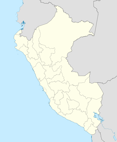
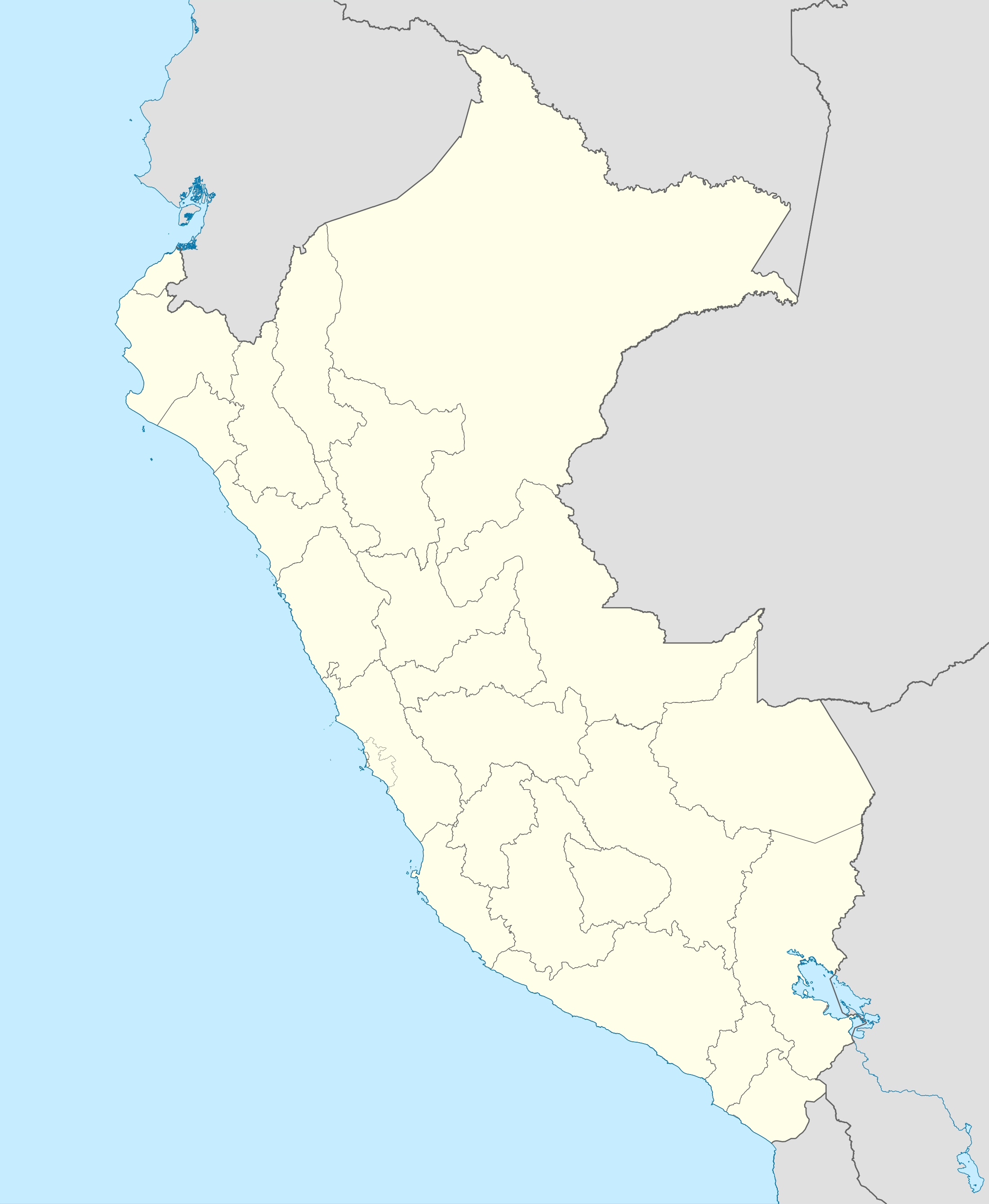
English: Blank political map of Peru
Equirectangular projection, Geographic limits of the map:
|
| 日付 | (UTC) |
| 原典 | Peru_-_(Template).svg |
| 作者 | User:Spischot |
この画像には画像編集が施されています。原本に対して次のデジタル的な変更が行われました。
|
ライセンス
この作品の著作権者である私は、この作品を以下のライセンスで提供します。
このファイルはクリエイティブ・コモンズ 表示-継承 3.0 非移植ライセンスのもとに利用を許諾されています。
あなたは以下の条件に従う場合に限り、自由に
●共有 – 本作品を複製、頒布、展示、実演できます。
●再構成 – 二次的著作物を作成できます。
あなたの従うべき条件は以下の通りです。
●表示 – あなたは適切なクレジットを表示し、ライセンスへのリンクを提供し、変更があったらその旨を示さなければなりません。これらは合理的であればどのような方法で行っても構いませんが、許諾者があなたやあなたの利用行為を支持していると示唆するような方法は除きます。
●継承 – もしあなたがこの作品をリミックスしたり、改変したり、加工した場合には、あなたはあなたの貢献部分を元の作品とこれと同一または互換性があるライセンスの下に頒布しなければなりません。
元のアップロードログ
This image is a derivative work of the following images:
- File:Peru_-_(Template).svg licensed with Cc-by-sa-3.0
- 2009-07-21T07:54:54Z Huhsunqu 820x1000 (1674312 Bytes) detail map
- 2009-07-15T06:39:44Z Huhsunqu 820x1000 (1396540 Bytes) ANCHOS
- 2009-07-06T05:07:34Z Huhsunqu 820x1000 (1398457 Bytes) {{Information |Description={{en|1=Blank political map of Perú}} {{es|1=Mapa plantilla de las regiones y departamentos del Perú.}} |Source=trabajo propio (own work) |Author=[[User:Huhsunqu|Huhsunqu]] |Date=2009-07-05 |Permis
Uploaded with derivativeFX
ファイルの履歴
過去の版のファイルを表示するには、その版の日時をクリックしてください。
| 日付と時刻 | サムネイル | 寸法 | 利用者 | コメント | |
|---|---|---|---|---|---|
| 現在の版 | 2023年3月12日 (日) 00:52 | | 2,200 × 2,679 (15.72メガバイト) | Waterloo1883 | Corrección del marco izquierdo y disminución del grosor de los limites administrativos. |
| 2020年12月23日 (水) 22:15 |  | 1,033 × 1,258 (13.78メガバイト) | Waterloo1883 | Límites departamentales actuales. | |
| 2018年5月1日 (火) 19:20 |  | 820 × 1,000 (777キロバイト) | Janitoalevic | Fixed size | |
| 2018年5月1日 (火) 18:54 |  | 875 × 1,067 (775キロバイト) | Janitoalevic | *Fixed coastline, international and internal borders. *Added San Lorenzo island *Better Lake Titicaca | |
| 2009年10月23日 (金) 21:33 |  | 820 × 1,000 (807キロバイト) | Spischot | {{Information |Description={{en|1=Blank political map of en:Peru}} Equirectangular projection, Geographic limits of the map: * N: 0.73° N * S: 19.36° S * W: 83.25° W * E: 66.75° W |Source=*File:Peru_-_(Template).svg |Date=2009-10-23 21:27 |
ファイルの使用状況
以下の 39 ページがこのファイルを使用しています:
- アバンカイ
- アヤクーチョ
- アレキパ
- アレハンドロ・ベラスコ・アステテ国際空港
- イカ (ペルー)
- イキトス
- ウルバンバ川
- エスタディオ・ナシオナルの悲劇
- カハマルカ
- カヤオ
- カンダラベ
- セロ・デ・パスコ
- タララ
- チクラーヨ
- チャグアル空港
- チンチェロ国際空港
- チンボテ
- トゥンベス
- トルヒーリョ (ペルー)
- ピウラ
- フランシスコ・カルレ空港
- フリアカ
- プエルト・マルドナド
- プカルバ
- プリメーラ・ディビシオン (ペルー)
- プーノ
- ホルヘ・チャベス国際空港
- モヨバンバ
- ランパ (ペルー)
- ラ・リンコナダ
- ロクンバ
- ロドリゲス・バロン国際空港
- ワヌコ
- ワラス
- ワンカベリカ
- ワンカヨ
- 利用者:Krorokeroro/sandbox/大正天皇
- モジュール:Location map/data/Peru
- モジュール:Location map/data/Peru/doc
グローバルなファイル使用状況
以下に挙げる他のウィキがこの画像を使っています:
- af.wikipedia.org での使用状況
- an.wikipedia.org での使用状況
- ar.wikipedia.org での使用状況
- ast.wikipedia.org での使用状況
- Llagu Titicaca
- Ríu Amazones
- Lima
- Rumicolca
- Base aérea El Pato
- Concepción (Perú)
- Ríu Apurímac
- Mismi
- Ríu Madre de Dios
- Cuzco
- Sacsayhuamán
- Jenaro Herrera (Perú)
- Palaciu Llexislativu del Perú
- La Rinconada (Perú)
- Santuariu históricu de Machu Picchu
- Tabayones les Trés Hermanes
- Tabayón Yumbilla
- Catarata Gocta
- Huandoy
- Huascarán
- Yerupajá
- Módulu:Mapa de llocalización/datos/Perú
- Módulu:Mapa de llocalización/datos/Perú/usu
- Copa América 2004
- Campeonatu Descentralizáu 2018
- Callao
- Universidá Inca Garcilaso de la Vega
- Aeropuertu Alf. FAP David Figueroa Fernandini
- Aeropuertu Cadete FAP Guillermo del Castillo Paredes
- Aeropuertu Capitán FAP Renán Elías Olivera
- Aeropuertu Francisco Carlé
- Aeropuertu Internacional Alejandro Velasco Astete
- Aeropuertu Internacional Capitán FAP José A. Quiñones
- Aeropuertu Internacional Coronel FAP Carlos Ciriani Santa Rosa
- Aeropuertu Internacional Inca Manco Cápac
このファイルのグローバル使用状況を表示する。