
ファイル:Warwickshire UK location map.svg

この SVG ファイルのこの PNG プレビューのサイズ: 493 × 599 ピクセル. その他の解像度: 197 × 240 ピクセル | 395 × 480 ピクセル | 632 × 768 ピクセル | 843 × 1,024 ピクセル | 1,686 × 2,048 ピクセル | 1,042 × 1,266 ピクセル。
元のファイル (SVG ファイル、1,042 × 1,266 ピクセル、ファイルサイズ: 2.18メガバイト)
ウィキメディア・コモンズのファイルページにある説明を、以下に表示します。 |
| 解説 |
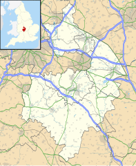
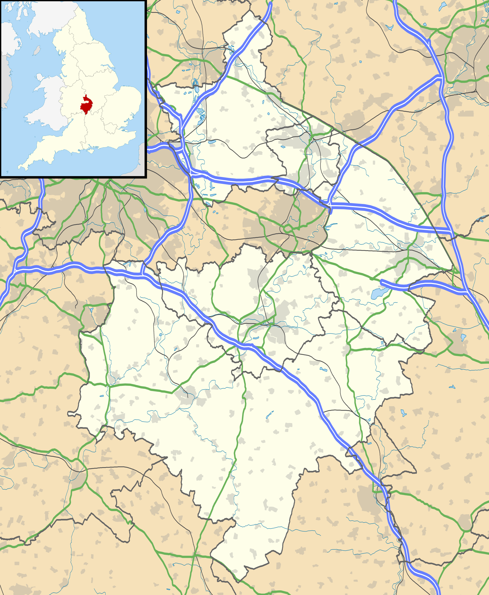
Map of Warwickshire, UK with the following information shown:
Equirectangular map projection on WGS 84 datum, with N/S stretched 160% Geographic limits:
|
| 日付 | |
| 原典 |
|
| 作者 | Nilfanion, created using Ordnance Survey data |
| 許可 (ファイルの再利用) |
このファイルはクリエイティブ・コモンズ 表示-継承 3.0 非移植ライセンスのもとに利用を許諾されています。 帰属: Contains Ordnance Survey data © Crown copyright and database right
あなたは以下の条件に従う場合に限り、自由に
●共有 – 本作品を複製、頒布、展示、実演できます。
●再構成 – 二次的著作物を作成できます。
あなたの従うべき条件は以下の通りです。
●表示 – あなたは適切なクレジットを表示し、ライセンスへのリンクを提供し、変更があったらその旨を示さなければなりません。これらは合理的であればどのような方法で行っても構いませんが、許諾者があなたやあなたの利用行為を支持していると示唆するような方法は除きます。
●継承 – もしあなたがこの作品をリミックスしたり、改変したり、加工した場合には、あなたはあなたの貢献部分を元の作品とこれと同一または互換性があるライセンスの下に頒布しなければなりません。
|
| その他のバージョン | File:Warwickshire UK district map (blank).svg - Blank map |
ファイルの履歴
過去の版のファイルを表示するには、その版の日時をクリックしてください。
| 日付と時刻 | サムネイル | 寸法 | 利用者 | コメント | |
|---|---|---|---|---|---|
| 現在の版 | 2010年9月26日 (日) 19:17 | | 1,042 × 1,266 (2.18メガバイト) | Nilfanion | {{Information |Description=Map of Warwickshire, UK with the following information shown: *Administrative borders *Coastline, lakes and rivers *Roads and railways *Urban areas Equirectangular map projection on WGS 84 datum, with N/S str |
ファイルの使用状況
以下の 8 ページがこのファイルを使用しています:
グローバルなファイル使用状況
以下に挙げる他のウィキがこの画像を使っています:
- ar.wikipedia.org での使用状況
- bg.wikipedia.org での使用状況
- ceb.wikipedia.org での使用状況
- en.wikipedia.org での使用状況
- Kenilworth Castle
- Stratford-upon-Avon
- Kenilworth
- Rugby, Warwickshire
- Battle of Edgehill
- Napton on the Hill
- Warwick Castle
- Leamington Spa
- Nuneaton
- Southam
- Warwick
- Bedworth
- Atherstone
- Mancetter
- Ryton-on-Dunsmore
- Alcester
- Shipston-on-Stour
- Dunchurch
- Warwickshire
- Wellesbourne Watermill
- Whitnash
- Bulkington
- Kineton
- Studley, Warwickshire
- Brinklow
- Monks Kirby
- Gaydon
- Leek Wootton
- Bodymoor Heath
- Compton Wynyates
- Long Compton
- Ansty, Warwickshire
- Coleshill, Warwickshire
- Broadwell, Warwickshire
- Bidford-on-Avon
- Rugby Radio Station
- Newbold-on-Avon
- Kingsbury, Warwickshire
- Binley Woods
- Long Lawford
- Willoughby, Warwickshire
- Wibtoft
- Wolston
- Newton, Warwickshire
- Burton Green
このファイルのグローバル使用状況を表示する。