Home  

Random  

Nearby  


Log in  


Settings  


Donate  


About Wikipedia  

Disclaimers  


Wikipedia


Zhigansky District


Article  

Talk  


Language  

Watch  

Edit  


Zhigansky District (Russian: Жига́нский улу́с; Yakut: Эдьигээн улууһа, Ecigeen uluuha) is an administrative[1] and municipal[6] district (raion, or ulus), one of the thirty-four in the Sakha Republic, Russia. It is located in the northern central part of the republic and borders with Bulunsky District in the north, Eveno-Bytantaysky National District in the east, Kobyaysky District in the southeast, Vilyuysky District in the southwest, and with Olenyoksky District in the northwest. The area of the district is 140,200 square kilometers (54,100 sq mi).[3] Its administrative center is the rural locality (aselo) of Zhigansk.[3] Population: 4,296 (2010 Russian census);[4] 4,312 (2002 Census);[9] 5,678 (1989 Soviet census).[10] The population of Zhigansk accounts for 79.6% of the district's total population.[4]

Zhigansky District
Жиганский улус
Other transcription(s)
 • SakhaЭдьигээн улууhа
Northern noon, Zhigansky District
Flag of Zhigansky District
Coat of arms of Zhigansky District
Map
Location of Zhigansky District in the Sakha Republic
Coordinates: 66°46′N 123°16′E / 66.767°N 123.267°E / 66.767; 123.267
CountryRussia
Federal subjectSakha Republic[1]
EstablishedDecember 10, 1930[2]
Administrative centerZhigansk[3]
Area
 • Total140,200 km2 (54,100 sq mi)
Population
 • Total4,296
 • Estimate 
(2018)[5]
4,222 (−1.7%)
 • Density0.031/km2 (0.079/sq mi)
 • Urban
0%
 • Rural
100%
Administrative structure
 • Administrative divisions4rural okrug
 • Inhabited localities[3]5rural localities
Municipal structure
 • Municipally incorporatedasZhigansky Municipal District[6]
 • Municipal divisions[7]0 urban settlements, 4 rural settlements
Time zoneUTC+9 (MSK+6 Edit this on Wikidata[8])
OKTMOID98622000
Websitehttps://mr-zhiganskij.sakha.gov.ru/

Geography

edit

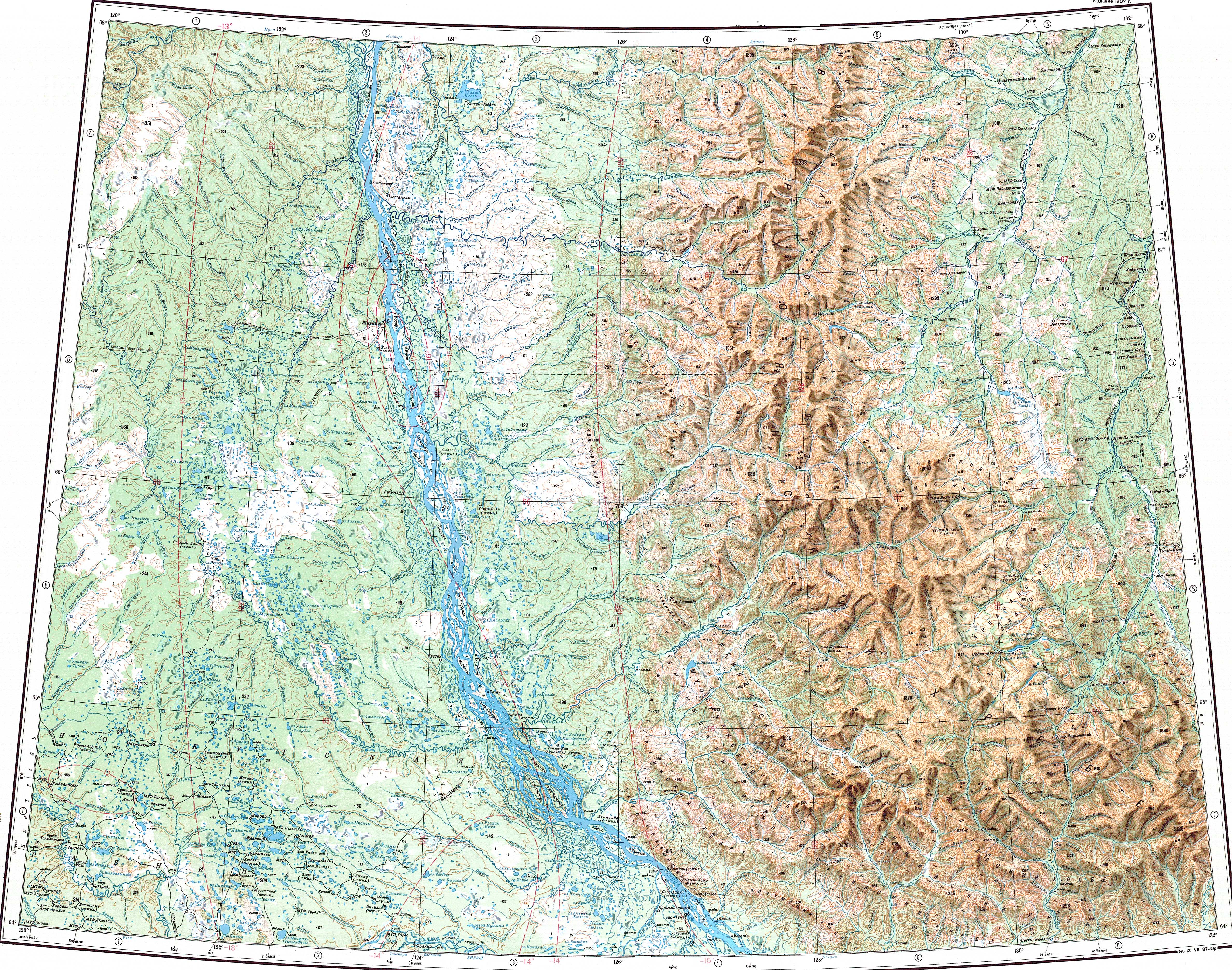
The main river in the district is the Lena. Some of its important tributaries, such as the Menkere, Muna, Khoruongka, Nuora (Strekalovka), Kyuelenke and Motorchuna, have their mouth in the area of the district. The largest lake is Lake Ulakhan-Kyuyol.[11][12]

Climate

edit

Average January temperature ranges from −36 °C (−33 °F) in the east to −40 °C (−40 °F) in the west and average July temperature ranges from +14 °C (57 °F) to +16 °C (61 °F). Annual precipitation ranges from 250–300 millimeters (9.8–11.8 in) in the west to 300–400 millimeters (12–16 in) in the east.[2]

History

edit

The district was established on December 10, 1930.[2]

Demographics

edit

As of the 2021 Census, the ethnic composition was as follows:[13]

Inhabited localities

edit
Municipal composition
Rural settlements Population Male Female Rural localities in jurisdiction*
Bestyakhsky Nasleg
(Бестяхский наслег)
218 111 (50.9%) 107 (49.1%)
Zhigansky Evenk National Nasleg
(Жиганский эвенкийский национальный наслег)
3,421 1,631 (47.8%) 1,785 (52.2%)
Kystatyam
(Кыстатыам)
397 202 (50.9%) 195 (49.1%)
Lindinsky Nasleg
(Линдинский наслег)
260 131 (50.4%) 129 (49.6%)

Divisional source:[14]
Population source:[4]
*Administrative centers are shown in bold
Note: The figures given in the table above include 2010 census reports of one person (male) living in the intersettlement territory,[4] clarified in the regional census data as inhabiting Dzardzhan.[15]

References

edit

Notes

edit
  1. ^ a b Constitution of the Sakha Republic
  • ^ a b c Center of the Socioeconomic and Political Monitoring. Zhigansky District Archived September 21, 2012, at the Wayback Machine (in Russian)
  • ^ a b c d e Registry of the Administrative-Territorial Divisions of the Sakha Republic
  • ^ a b c d e Russian Federal State Statistics Service (2011). Всероссийская перепись населения 2010 года. Том 1 [2010 All-Russian Population Census, vol. 1]. Всероссийская перепись населения 2010 года [2010 All-Russia Population Census] (in Russian). Federal State Statistics Service.
  • ^ "26. Численность постоянного населения Российской Федерации по муниципальным образованиям на 1 января 2018 года". Federal State Statistics Service. Retrieved January 23, 2019.
  • ^ a b Law #172-Z #351-III
  • ^ Law #173-Z #354-III
  • ^ "Об исчислении времени". Официальный интернет-портал правовой информации (in Russian). June 3, 2011. Retrieved January 19, 2019.
  • ^ Federal State Statistics Service (May 21, 2004). Численность населения России, субъектов Российской Федерации в составе федеральных округов, районов, городских поселений, сельских населённых пунктов – районных центров и сельских населённых пунктов с населением 3 тысячи и более человек [Population of Russia, Its Federal Districts, Federal Subjects, Districts, Urban Localities, Rural Localities—Administrative Centers, and Rural Localities with Population of Over 3,000] (XLS). Всероссийская перепись населения 2002 года [All-Russia Population Census of 2002] (in Russian).
  • ^ Всесоюзная перепись населения 1989 г. Численность наличного населения союзных и автономных республик, автономных областей и округов, краёв, областей, районов, городских поселений и сёл-райцентров [All Union Population Census of 1989: Present Population of Union and Autonomous Republics, Autonomous Oblasts and Okrugs, Krais, Oblasts, Districts, Urban Settlements, and Villages Serving as District Administrative Centers]. Всесоюзная перепись населения 1989 года [All-Union Population Census of 1989] (in Russian). Институт демографии Национального исследовательского университета: Высшая школа экономики [Institute of Demography at the National Research University: Higher School of Economics]. 1989 – via Demoscope Weekly.
  • ^ "Топографска карта Q-51 52; M 1:1 000 000 - Topographic USSR Chart (in Russian)". Retrieved April 17, 2022.
  • ^ Google Earth
  • ^ "Национальный состав населения". Federal State Statistics Service. Retrieved June 17, 2023.
  • ^ Olenyoksy Ulus (Raion) Archived November 11, 2013, at the Wayback Machine Official website of the Sakha Republic
  • ^ Sakha Republic Territorial Branch of the Federal State Statistics Service. Results of the 2010 All-Russian Census. Численность населения по районам, городским и сельским населённым пунктам (Population Counts by Districts, Urban and Rural Inhabited Localities) (in Russian)
  • Sources

    edit

    66°46′55N 123°22′05E / 66.78194°N 123.36806°E / 66.78194; 123.36806


    Retrieved from "https://en.wikipedia.org/w/index.php?title=Zhigansky_District&oldid=1160570484"


    Last edited on 17 June 2023, at 11:04  


    Languages


    Azərbaycanca
     / Bân-lâm-gú
    Cebuano
    Eesti
    فارسی
    Հայերեն
    Italiano
    Lietuvių
    Magyar
    Нохчийн
    Polski
    Русский
    Саха тыла
    Српски / srpski
    Suomi
    Українська
    Tiếng Vit


    Wikipedia


    This page was last edited on 17 June 2023, at 11:04 (UTC).

    Content is available under CC BY-SA 4.0 unless otherwise noted.


    Privacy policy

    About Wikipedia

    Disclaimers

    Contact Wikipedia

    Code of Conduct

    Developers

    Statistics

    Cookie statement

    Terms of Use

    Desktop