J u m p t o c o n t e n t
M a i n m e n u
M a i n m e n u
N a v i g a t i o n
● M a i n p a g e ● C o n t e n t s ● C u r r e n t e v e n t s ● R a n d o m a r t i c l e ● A b o u t W i k i p e d i a ● C o n t a c t u s ● D o n a t e
C o n t r i b u t e
● H e l p ● L e a r n t o e d i t ● C o m m u n i t y p o r t a l ● R e c e n t c h a n g e s ● U p l o a d f i l e
S e a r c h
Search
A p p e a r a n c e
● C r e a t e a c c o u n t ● L o g i n
P e r s o n a l t o o l s
● C r e a t e a c c o u n t ● L o g i n
P a g e s f o r l o g g e d o u t e d i t o r s l e a r n m o r e ● C o n t r i b u t i o n s ● T a l k
( T o p )
1 T e r r a i n
2 S t a t i s t i c s
3 E x t r e m e p o i n t s
4 G a l l e r y
5 S e e a l s o
6 R e f e r e n c e s
7 N o t e s
T o g g l e t h e t a b l e o f c o n t e n t s
G e o g r a p h y o f t h e G a m b i a
1 6 l a n g u a g e s
● A s t u r i a n u ● D e u t s c h ● E s p a ñ o l ● ف ا ر س ی ● F r a n ç a i s ● I t a l i a n o ● P o l s k i ● P o r t u g u ê s ● Р у с с к и й ● S h q i p ● S u o m i ● У к р а ї н с ь к а ● V è n e t o ● T i ế n g V i ệ t ● Y o r ù b á ● 中 文
E d i t l i n k s
● A r t i c l e ● T a l k
E n g l i s h
● R e a d ● E d i t ● V i e w h i s t o r y
T o o l s
T o o l s
A c t i o n s
● R e a d ● E d i t ● V i e w h i s t o r y
G e n e r a l
● W h a t l i n k s h e r e ● R e l a t e d c h a n g e s ● U p l o a d f i l e ● S p e c i a l p a g e s ● P e r m a n e n t l i n k ● P a g e i n f o r m a t i o n ● C i t e t h i s p a g e ● G e t s h o r t e n e d U R L ● D o w n l o a d Q R c o d e ● W i k i d a t a i t e m
P r i n t / e x p o r t
● D o w n l o a d a s P D F ● P r i n t a b l e v e r s i o n
I n o t h e r p r o j e c t s
● W i k i m e d i a C o m m o n s
A p p e a r a n c e
F r o m W i k i p e d i a , t h e f r e e e n c y c l o p e d i a
( R e d i r e c t e d f r o m C l i m a t e o f t h e G a m b i a )
Terrain [ edit ]
The grassy flood plain of the Gambia river contains Guinean mangroves near the coast, and becomes West Sudanian savanna upriver inland.
Statistics [ edit ]
Location:
Western Africa, bordering the North Atlantic Ocean and Senegal
Geographic coordinates :13°28′N 16°34′W / 13.467°N 16.567°W / 13.467; -16.567
Area:
total: 11,295 km 2 land: 10,000 km 2 water: 1,295 km 2
comparative: slightly less than Jamaica ; slightly less than twice the size of Delaware
Land boundaries:
total: 749 km border countries: Senegal 749 km
Coastline: 80 km
Maritime claims:
territorial sea: 12 nmi (22.2 km; 13.8 mi )
contiguous zone: 18 nmi (33.3 km; 20.7 mi )
exclusive fishing zone: 200 nmi (370.4 km; 230.2 mi )
continental shelf: extent not specified
Climate: tropical; hot, rainy season (June to November); cooler, dry season (November to May)
Terrain: floodplain of the Gambia River , flanked by low hills
Elevation extremes:
Natural resources: fish, clay, silica sand, titanium (rutile and ilmenite ), tin , zircon
Land use:
arable land: 43.48%
permanent crops: 0.49%
other: 56.03% (2011)
Irrigated land: 50 km 2
Total renewable water resources: 8 km 3
Freshwater withdrawal (domestic/industrial/agricultural): total: 0.09 km 3 per capita: 65.77 m3
Current issues: deforestation , desertification , prevalence of water-borne diseases, drought (rainfall has dropped by 30% in the last 30 years)
Environment - party to international agreements on:
biodiversity , climate change , Kyoto Protocol , desertification, endangered species , hazardous wastes, law of the sea , ozone layer protection, ship pollution, wetland , whaling
Extreme points [ edit ]
This is a list of the extreme points of the Gambia, the points that are farther north, south, east or west than any other location.
Gallery [ edit ]
See also [ edit ]
References [ edit ]
public domain material from The World Factbook CIA .
^ Donald R. Wright (2004). The World and a Very Small Place: A History of Globalization in Niumi, The Gambia (New York: M.E. Sharp) p. 151–152.
^ Craig Emms and Linda Barnett (2001). Bradt Travel Guide for The Gambia (Chalford, UK: Bradt Travel Guides).
^ Global Environment Facility , United Nations Environment Programme (eds.): The Gambia’s Second National Communication under the United Nations Framework Convention on Climate Change [permanent dead link
^ The World Factbook : The Gambia Geography and map .
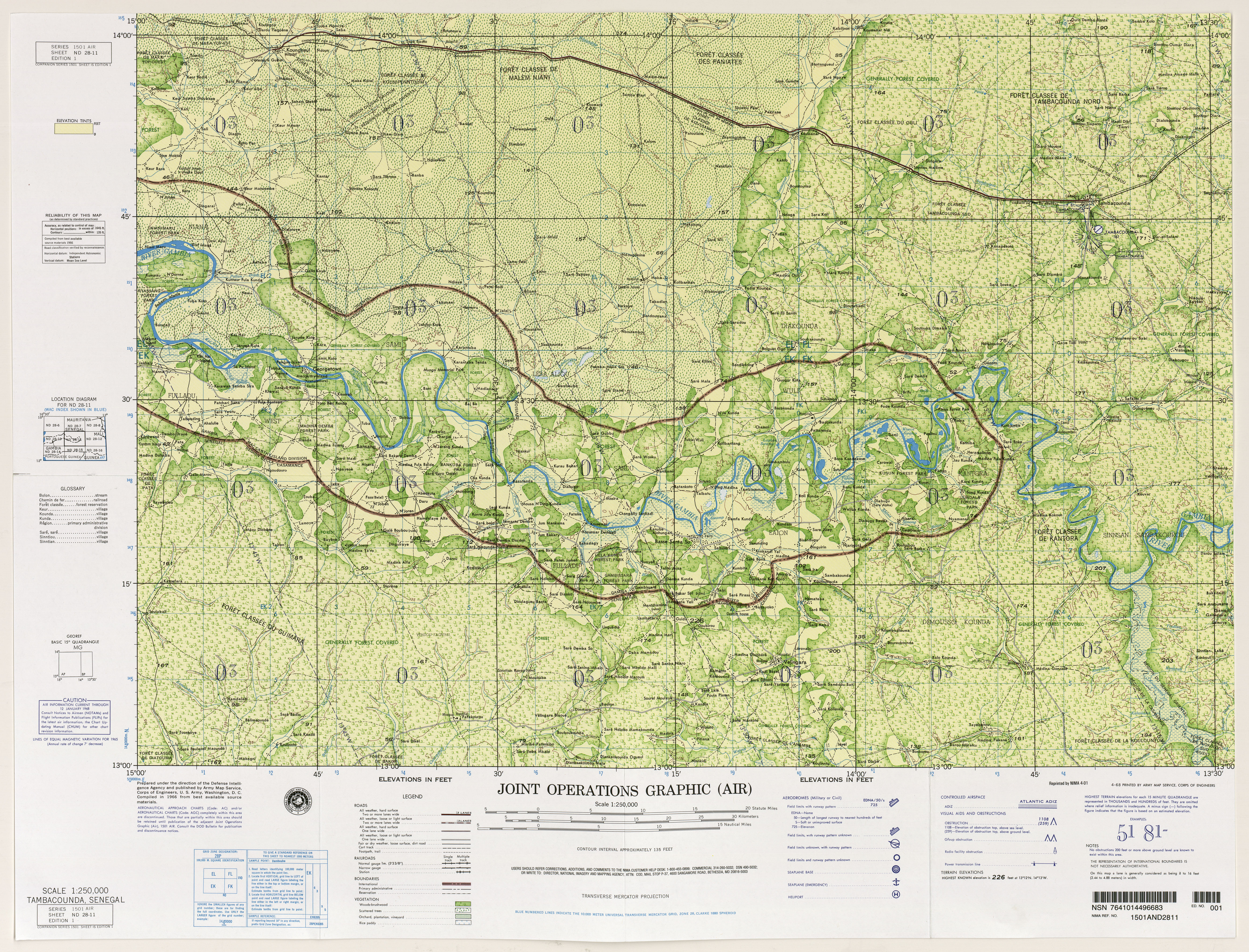
^ On a 1966 map, two points close to Jah Kunda and Nyamanari are indicated with 174 feet, thus 53 m. Source: West Africa, Joint Operations Graphic 1:250,000: map ND 28-11 Tambacounda, Senegal (11MB). U.S. National Imagery and Mapping Agency . Map data from 1966.
^ "Gambia High Point" . peakbagger.com .
^ Malanding S. Jaiteh, Baboucarr Sarr: Climate Change and Development in the Gambia: Challenges to Ecosystem Goods and Services
R e t r i e v e d f r o m " https://en.wikipedia.org/w/index.php?title=Geography_of_the_Gambia&oldid=1228723216#Climate " C a t e g o r y : ● G e o g r a p h y o f t h e G a m b i a H i d d e n c a t e g o r i e s : ● A l l a r t i c l e s w i t h d e a d e x t e r n a l l i n k s ● A r t i c l e s w i t h d e a d e x t e r n a l l i n k s f r o m D e c e m b e r 2 0 2 2 ● A r t i c l e s w i t h p e r m a n e n t l y d e a d e x t e r n a l l i n k s ● A r t i c l e s w i t h s h o r t d e s c r i p t i o n ● S h o r t d e s c r i p t i o n w i t h e m p t y W i k i d a t a d e s c r i p t i o n ● P a g e s u s i n g g a d g e t W i k i M i n i A t l a s ● W i k i p e d i a a r t i c l e s i n c o r p o r a t i n g t e x t f r o m t h e W o r l d F a c t b o o k
● T h i s p a g e w a s l a s t e d i t e d o n 1 2 J u n e 2 0 2 4 , a t 2 0 : 3 3 ( U T C ) . ● T e x t i s a v a i l a b l e u n d e r t h e C r e a t i v e C o m m o n s A t t r i b u t i o n - S h a r e A l i k e L i c e n s e 4 . 0 ;
a d d i t i o n a l t e r m s m a y a p p l y . B y u s i n g t h i s s i t e , y o u a g r e e t o t h e T e r m s o f U s e a n d P r i v a c y P o l i c y . W i k i p e d i a ® i s a r e g i s t e r e d t r a d e m a r k o f t h e W i k i m e d i a F o u n d a t i o n , I n c . , a n o n - p r o f i t o r g a n i z a t i o n . ● P r i v a c y p o l i c y ● A b o u t W i k i p e d i a ● D i s c l a i m e r s ● C o n t a c t W i k i p e d i a ● C o d e o f C o n d u c t ● D e v e l o p e r s ● S t a t i s t i c s ● C o o k i e s t a t e m e n t ● M o b i l e v i e w


