Jump to content


Main menu


Navigation  


Main page
Contents
Current events
Random article
About Wikipedia
Contact us
Donate


Contribute  


Help
Learn to edit
Community portal
Recent changes
Upload file


Search  


Create account

Log in


Create account
 Log in


Pages for logged out editors learn more  


Contributions
Talk


Contents


(Top)


1 Geography  


2 History  


3 Demographics  


4 Education  


5 Facilities  


6 Notable residents  


7 References  


8 Further reading  


9 External links  


Gowrie Junction, Queensland


Nederlands
Polski
 

Edit links


Article
Talk


Read
Edit
View history


Tools


Actions  


Read
Edit
View history


General  


What links here
Related changes
Upload file
Special pages
Permanent link
Page information
Cite this page
Get shortened URL
Download QR code
Wikidata item


Print/export  


Download as PDF
Printable version


Appearance


Coordinates: 27°3022S 151°5254E / 27.5061°S 151.8816°E / -27.5061; 151.8816 (Gowrie Junction (centre of locality))
 

From Wikipedia, the free encyclopedia
 

(Redirected from Gowrie, Queensland)

Gowrie Junction
ToowoombaQueensland
Gowrie Junction is located in Queensland
Gowrie Junction

Gowrie Junction

Map
Coordinates27°30′22S 151°52′54E / 27.5061°S 151.8816°E / -27.5061; 151.8816 (Gowrie Junction (centre of locality))
Population2,242 (2021 census)[1]
 • Density85.90/km2 (222.5/sq mi)
Postcode(s)4352
Area26.1 km2 (10.1 sq mi)
Time zoneAEST (UTC+10:00)
Location
LGA(s)Toowoomba Region
State electorate(s)
Federal division(s)Groom
Suburbs around Gowrie Junction:
Kingsthorpe Cawdor Highfields
Kingsthorpe Gowrie Junction Birnam
Charlton Cotswold Hills Cranley

Gowrie Junction is a rural locality in the Toowoomba Region, Queensland, Australia.[2] It is north-west of Toowoomba. The town of Gowrie is in the eastern part of the locality (27°29′58S 151°53′21E / 27.4994°S 151.8892°E / -27.4994; 151.8892 (Gowrie, Queensland)).[3] In the 2021 census, Gowrie Junction had a population of 2,242 people.[1]

Geography[edit]

The Toowoomba Second Range Crossing passes through the southern part of the locality with no intersections.[4]

The Western railway line passes through the locality with the Gowrie railway station (27°29′54S 151°53′20E / 27.4984°S 151.8889°E / -27.4984; 151.8889 (Gowrie railway station)) serving the town of Gowrie.[5][4] Tilgonda railway station is a closed railway station on the railway line in the west of the locality (27°29′36S 151°50′56E / 27.4934°S 151.8490°E / -27.4934; 151.8490 (Tilgonda railway station (former))).[5]

History[edit]

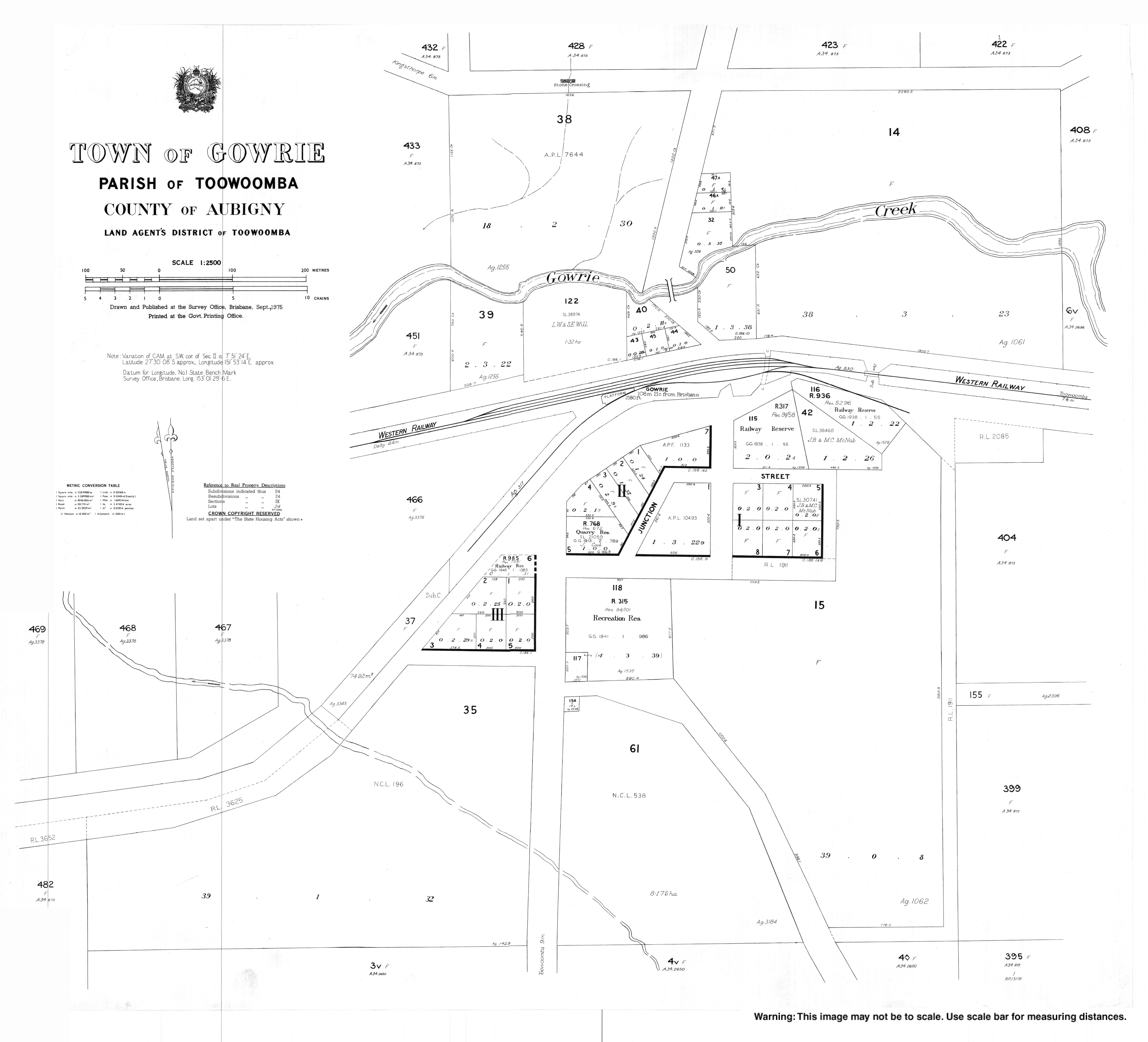
The name Gowrie comes from the Gowrie pastoral station operated by Henry Hughes and Frederick N. Isaac who used the name from 1847. It is thought to be a corruption of an Aboriginal word cowarie which might refer either to Gowrie Creek or mean freshwater mussel.[3] The name Junction relates to the former Gowrie Junction railway station which was the junction between the Southern and Western railway lines from 1871 to 1915. The railway station was subsequently renamed Gowrie railway station.[6]

Gowrie Junction Post Office opened on 24 April 1876, was renamed Gowrie in 1961 and closed in 1972.[7]

Gowrie Junction State School opened on 1 March 1878. On 2 April 1963, it was renamed Gowrie State School.[8][9]

St John's Anglican Church was dedicated and consecrated on 9 July 1882 by Bishop Matthew Hale.[10] Prior to this, Anglican services had been held in the home of George Downs, who was largely responsible for establishing the church.[11] George King (owner of the Gowrie pastoral station) was one of its lay readers; his wife donated its organ.[12] Its last service was held on 22 December 1968.[13]

In January 1896, Mr John Fahy of the hotel called for tenders to erect a wooden hall in Gowrie Junction.[14] It was in operation by July 1896.[15]

In November 1898, the Gowrie Colliery established a public hall for the benefit of the community.[16]

Demographics[edit]

In the 2011 census, Gowrie Junction had a population of 1,939 people.[17]

In the 2016 census, Gowrie Junction had a population of 2,120 people.[18]

In the 2021 census, Gowrie Junction had a population of 2,242 people.[1]

Education[edit]

Gowrie State School, 2022

Gowrie State School is a government primary (Prep-6) school for boys and girls at 22 Old Homebush Road (27°29′29S 151°53′29E / 27.4915°S 151.8914°E / -27.4915; 151.8914 (Gowrie State School)).[19][20] In 2018, the school had an enrolment of 183 students with 15 teachers (11 full-time equivalent) and 14 non-teaching staff (8 full-time equivalent).[21]

Other primary schools in the local area are Kingsthorpe State School in Kingsthorpe to the west and Fairview Heights State School in Wilsonton.[4]

There are no secondary schools in Gowrie Junction. The nearest secondary schools are Highfields State Secondary College in Highfields to the north-east, Wilsonton State High School in Wilsonton to the south-east, and Oakey State High School in Oakey to the west.[4]

Facilities[edit]

Gowrie Junction contains a small shop and a community hall. A shopping centre is also in the planning stages. The residents of Gowrie Junction funded and built the town recreational hall by themselves, largely through the efforts of the local progress association.

Library services in Gowrie Junction are provided by the Toowoomba Regional Council's mobile library service. The van visits Gowrie Junction State School every Thursday and Gowrie Junction Federation Hall every Saturday.[22]

Notable residents[edit]

Possibly Gowrie Junction's best known resident remains Frank Riethmuller, born in 1884 in Glenvale outside Toowoomba, who taught at Gowrie Junction's primary school from 1899 to 1905. He probably stayed with his newly married sister, Sophia, whose husband August Bischof had a farm at Gowrie Junction. Riethmuller went on to become a well-known rose breeder. He bred 'Carabella,' which is to be seen in country towns all round Australia. One of his pupils was a girl who became Sister Elizabeth Kenny, famous advocate of a non-chemical treatment of poliomyelitis.

References[edit]

  1. ^ a b c Australian Bureau of Statistics (28 June 2022). "Gowrie Junction (SAL)". 2021 Census QuickStats. Retrieved 4 June 2024. Edit this at Wikidata
  • ^ "Gowrie Junction – locality in Toowoomba Region (entry 49645)". Queensland Place Names. Queensland Government. Retrieved 25 October 2019.
  • ^ a b "Gowrie – population centre in the Toowoomba Region (entry 14482)". Queensland Place Names. Queensland Government. Retrieved 26 October 2019.
  • ^ a b c d "Queensland Globe". State of Queensland. Retrieved 11 November 2021.
  • ^ a b "Railway stations and sidings – Queensland". Queensland Open Data. Queensland Government. 2 October 2020. Archived from the original on 5 October 2020. Retrieved 5 October 2020.
  • ^ "Gowrie – railway station in the Toowoomba Region (entry 14484)". Queensland Place Names. Queensland Government. Retrieved 1 September 2020.
  • ^ Premier Postal History. "Post Office List". Premier Postal Auctions. Archived from the original on 15 May 2014. Retrieved 10 May 2014.
  • ^ "History". Gowrie State School. 16 December 2019. Archived from the original on 24 March 2019. Retrieved 1 September 2020.
  • ^ Queensland Family History Society (2010), Queensland schools past and present (Version 1.01 ed.), Queensland Family History Society, ISBN 978-1-921171-26-0
  • ^ "ST. JOHN'S CHURCH, GOWRIE JUNCTION". Darling Downs Gazette. Vol. XI, no. 4370. Queensland, Australia. 10 July 1882. p. 3. Archived from the original on 20 March 2022. Retrieved 1 September 2020 – via National Library of Australia.
  • ^ "ST. JOHN'S CHURCH, GOWRIE JUNCTION". Darling Downs Gazette. Vol. XI, no. 4370. Queensland, Australia. 10 July 1882. p. 3. Archived from the original on 20 March 2022. Retrieved 12 November 2021 – via National Library of Australia.
  • ^ Rutledge, Martha, "King, George (1814–1894)", Australian Dictionary of Biography, Canberra: National Centre of Biography, Australian National University, archived from the original on 11 November 2021, retrieved 11 November 2021
  • ^ "Closed Churches". Anglican Church of Southern Queensland. Archived from the original on 3 April 2019. Retrieved 24 February 2019.{{cite web}}: CS1 maint: unfit URL (link)
  • ^ "Advertising". Darling Downs Gazette. Vol. XXXVIII, no. 8, 971. Queensland, Australia. 11 January 1896. p. 1. Archived from the original on 20 March 2022. Retrieved 1 September 2020 – via National Library of Australia.
  • ^ "CONCERT AT GOWRIE JUNCTION". Darling Downs Gazette. Vol. XXXVIII, no. 9, 044. Queensland, Australia. 1 July 1896. p. 2. Archived from the original on 20 March 2022. Retrieved 1 September 2020 – via National Library of Australia.
  • ^ "Gowrie Colliery". Toowoomba Chronicle and Darling Downs General Advertiser. No. 5753. Queensland, Australia. 15 November 1898. p. 3. Archived from the original on 20 March 2022. Retrieved 1 September 2020 – via National Library of Australia.
  • ^ Australian Bureau of Statistics (31 October 2012). "Gowrie Junction (SSC)". 2011 Census QuickStats. Retrieved 4 June 2024. Edit this at Wikidata
  • ^ Australian Bureau of Statistics (27 June 2017). "Gowrie Junction (SSC)". 2016 Census QuickStats. Retrieved 4 June 2024. Edit this at Wikidata
  • ^ "State and non-state school details". Queensland Government. 9 July 2018. Archived from the original on 21 November 2018. Retrieved 21 November 2018.
  • ^ "Gowrie State School". Gowrie State School. 13 December 2019. Archived from the original on 17 April 2020. Retrieved 12 August 2022.
  • ^ "ACARA School Profile 2018". Australian Curriculum, Assessment and Reporting Authority. Archived from the original on 27 August 2020. Retrieved 28 January 2020.
  • ^ "Mobile library". Toowoomba Regional Council. Archived from the original on 24 October 2014. Retrieved 10 November 2014.
  • Further reading[edit]

    External links[edit]


    Retrieved from "https://en.wikipedia.org/w/index.php?title=Gowrie_Junction,_Queensland&oldid=1227150277"

    Categories: 
    Suburbs of Toowoomba
    Shire of Rosalie
    Localities in Queensland
    Toowoomba Region
    Hidden categories: 
    Pages using gadget WikiMiniAtlas
    Australian Statistical Geography Standard 2021 ID same as Wikidata
    CS1 maint: unfit URL
    Australian Statistical Geography Standard 2011 ID same as Wikidata
    Australian Statistical Geography Standard 2016 ID same as Wikidata
    Use dmy dates from April 2023
    Use Australian English from April 2013
    All Wikipedia articles written in Australian English
    Lists of coordinates
    Geographic coordinate lists
    Articles with Geo
    Articles with short description
    Short description is different from Wikidata
    Coordinates on Wikidata
    Pages using the Kartographer extension


    This page was last edited on 4 June 2024, at 00:53 (UTC).

    Text is available under the Creative Commons Attribution-ShareAlike License 4.0; additional terms may apply. By using this site, you agree to the Terms of Use and Privacy Policy. Wikipedia® is a registered trademark of the Wikimedia Foundation, Inc., a non-profit organization.


    Privacy policy

    About Wikipedia

    Disclaimers

    Contact Wikipedia

    Code of Conduct

    Developers

    Statistics

    Cookie statement

    Mobile view


    Wikimedia Foundation
    Powered by MediaWiki