Jump to content


Main menu


Navigation  


Main page
Contents
Current events
Random article
About Wikipedia
Contact us
Donate


Contribute  


Help
Learn to edit
Community portal
Recent changes
Upload file


Search  


Create account

Log in


Create account
 Log in


Pages for logged out editors learn more  


Contributions
Talk


Contents


(Top)


1 Geography  


2 History  


3 Demographics  


4 Education  


5 Facilities  


6 References  


7 Further reading  


8 External links  


Kulpi, Queensland


Add links


Article
Talk


Read
Edit
View history


Tools


Actions  


Read
Edit
View history


General  


What links here
Related changes
Upload file
Special pages
Permanent link
Page information
Cite this page
Get shortened URL
Download QR code
Wikidata item


Print/export  


Download as PDF
Printable version


In other projects  


Wikimedia Commons


Appearance


Coordinates: 27°1115S 151°4200E / 27.1875°S 151.7°E / -27.1875; 151.7 (Kulpi (town centre))
 

From Wikipedia, the free encyclopedia


Kulpi
Queensland
Kulpi State School, 2020
Kulpi is located in Queensland
Kulpi

Kulpi

Coordinates27°11′15S 151°42′00E / 27.1875°S 151.7°E / -27.1875; 151.7 (Kulpi (town centre))
Population77 (2021 census)[1]
 • Density3.277/km2 (8.49/sq mi)
Postcode(s)4352
Area23.5 km2 (9.1 sq mi)
Time zoneAEST (UTC+10:00)
Location
LGA(s)Toowoomba Region
State electorate(s)Condamine
Federal division(s)Groom
Localities around Kulpi:
Quinalow Peranga Evergreen
Quinalow Kulpi Mount Darry
Brymaroo Rosalie Plains Mount Darry

Kulpi is a rural town and locality in the Toowoomba Region, Queensland, Australia.[2][3] In the 2021 census, the locality of Kulpi had a population of 77 people.[1]

Geography[edit]

Kulpi is on the Darling Downs, 194 kilometres (121 mi) north west of the state capital, Brisbane.[4]

The Oakey–Cooyar Road runs through from south to north.[5]

History[edit]

The site of the town of Kulpi was part of a selection made by Fred Beckmann from the Rosalie Plains pastoral run. Beckman built two establishments, the Pioneer Hotel and a store which formed the centre of the town. The settlement was originally known as Rosalie, however the name was soon changed to Kulpi, to avoid confusion with the Rosalie Plains Homestead, which was a small town in itself.[6]

The town takes its name from its railway station name assigned to 9 January 1913 by the Queensland Railways Department. It is an reportedly an Aboriginal word meaning box tree[2][7]orcharred logs.[6]

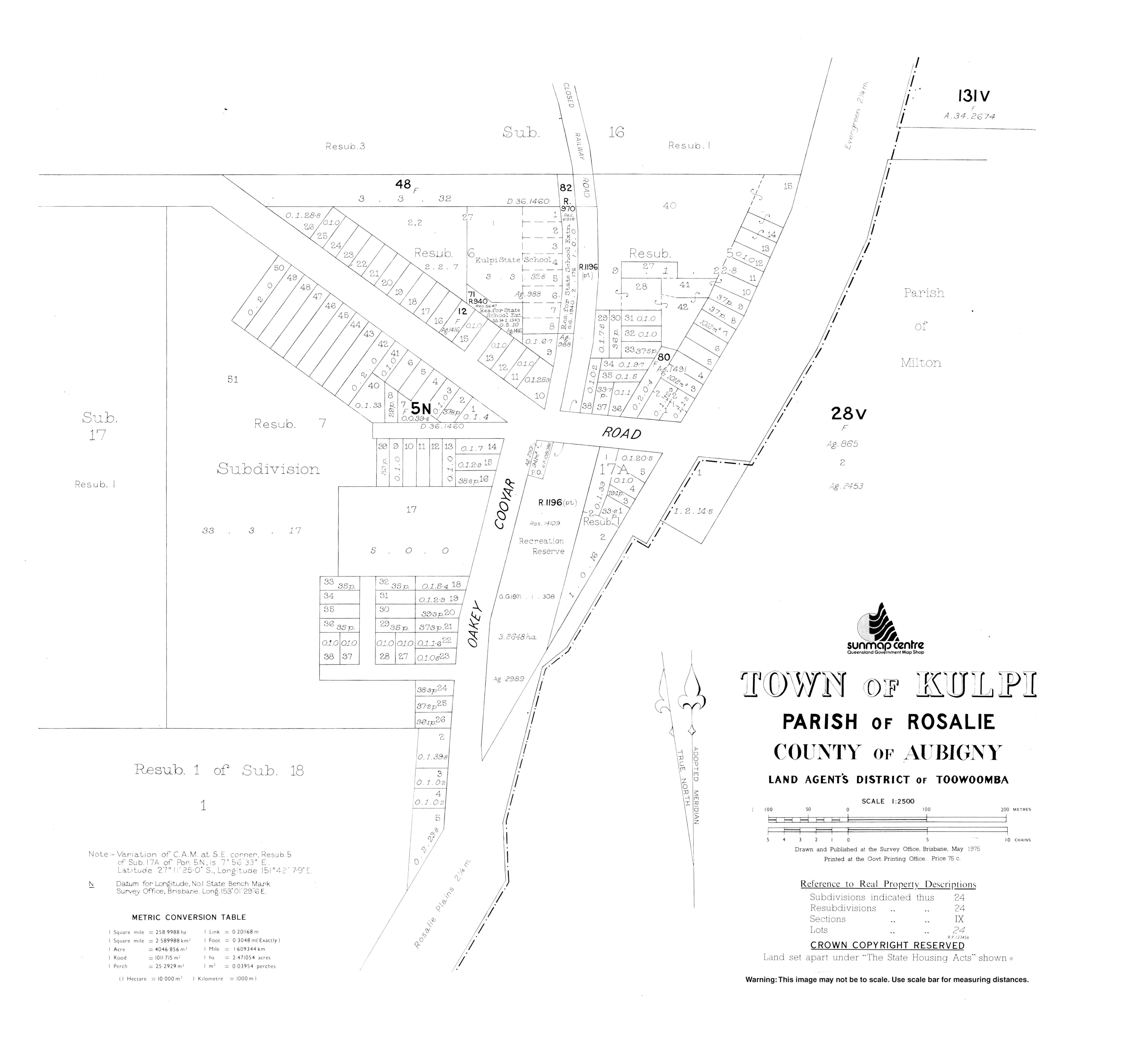
Kulpi State School opened on 9 August 1915.[8]

Demographics[edit]

In the 2016 census, the locality of Kulpi had a population of 77 people.[9]

In the 2021 census, the locality of Kulpi had a population of 77 people.[1]

Education[edit]

Playground, Kulpi State School, 2020

Kulpi State School is a government primary (Prep-6) school for boys and girls at 9 Beckman Street (27°11′11S 151°42′00E / 27.1865°S 151.6999°E / -27.1865; 151.6999 (Kulpi State School)).[10][11] In 2017, the school had an enrolment of 16 students with 3 teachers (1 full-time equivalent) and 6 non-teaching staff (2 full-time equivalent).[12] In 2018, the school had an enrolment of 22 students with 3 teachers (1 full-time equivalent) and 7 non-teaching staff (2 full-time equivalent).[13]

There are no secondary schools in Kulpi. The nearest government secondary schools are Quinalow State School (to Year 10) in neighbouring Quinalow to the north-west and Oakey State High School (to Year 12) in Oakey to the south.[14]

Facilities[edit]

Library services in Kulpi are provided by the Toowoomba Regional Council's mobile library service. The van visits Kulpi State School on the 1st and 3rd Tuesday of each month.[15]

References[edit]

  1. ^ a b c Australian Bureau of Statistics (28 June 2022). "Kulpi (SAL)". 2021 Census QuickStats. Retrieved 28 February 2023. Edit this at Wikidata
  • ^ a b "Kulpi – town in Toowoomba Region (entry 18583)". Queensland Place Names. Queensland Government. Retrieved 7 March 2022.
  • ^ "Kulpi – locality in Toowoomba Region (entry 49219)". Queensland Place Names. Queensland Government. Retrieved 7 March 2022.
  • ^ "Where is". Archived from the original on 24 October 2014. Retrieved 24 October 2014.
  • ^ Kulpi, Queensland (Map). OpenStreetMap. Archived from the original on 18 January 2022. Retrieved 18 January 2022.
  • ^ a b Beal, Diana J. (Diana Joy); Phipps, Ross; Rosalie (Qld.). Council (1979). Rosalie Shire Council : The first one hundred years, 1879-1979. Rosalie Shire Council. Archived from the original on 4 March 2016. Retrieved 24 October 2014.
  • ^ "SKETCHER". The Queenslander. No. 2456. Queensland, Australia. 11 April 1914. p. 8. Archived from the original on 26 December 2020. Retrieved 28 November 2019 – via National Library of Australia.
  • ^ Queensland Family History Society (2010), Queensland schools past and present (Version 1.01 ed.), Queensland Family History Society, ISBN 978-1-921171-26-0
  • ^ Australian Bureau of Statistics (27 June 2017). "Kulpi (SSC)". 2016 Census QuickStats. Retrieved 20 October 2018. Edit this at Wikidata
  • ^ "State and non-state school details". Queensland Government. 9 July 2018. Archived from the original on 21 November 2018. Retrieved 21 November 2018.
  • ^ "Kulpi State School". Archived from the original on 19 March 2020. Retrieved 21 November 2018.
  • ^ "ACARA School Profile 2017". Archived from the original on 22 November 2018. Retrieved 22 November 2018.
  • ^ "ACARA School Profile 2018". Australian Curriculum, Assessment and Reporting Authority. Archived from the original on 27 August 2020. Retrieved 28 January 2020.
  • ^ "Queensland Globe". State of Queensland. Retrieved 23 June 2022.
  • ^ "Mobile library". Toowoomba Regional Council. Archived from the original on 24 October 2014. Retrieved 10 November 2014.
  • Further reading[edit]

    External links[edit]


    Retrieved from "https://en.wikipedia.org/w/index.php?title=Kulpi,_Queensland&oldid=1228961896"

    Categories: 
    Towns in Queensland
    Toowoomba Region
    Localities in Queensland
    Hidden categories: 
    Pages using gadget WikiMiniAtlas
    Australian Statistical Geography Standard 2021 ID same as Wikidata
    Australian Statistical Geography Standard 2016 ID same as Wikidata
    Use dmy dates from July 2016
    Lists of coordinates
    Geographic coordinate lists
    Articles with Geo
    Use Australian English from July 2016
    All Wikipedia articles written in Australian English
    Articles with short description
    Short description is different from Wikidata
    Coordinates on Wikidata
    Commons category link is on Wikidata


    This page was last edited on 14 June 2024, at 03:35 (UTC).

    Text is available under the Creative Commons Attribution-ShareAlike License 4.0; additional terms may apply. By using this site, you agree to the Terms of Use and Privacy Policy. Wikipedia® is a registered trademark of the Wikimedia Foundation, Inc., a non-profit organization.


    Privacy policy

    About Wikipedia

    Disclaimers

    Contact Wikipedia

    Code of Conduct

    Developers

    Statistics

    Cookie statement

    Mobile view


    Wikimedia Foundation
    Powered by MediaWiki