The owners gave their own names to two stations located at the railroad's crossings of major roads: McLean Station at Chain Bridge Road (Virginia State Route 123) and Elkins Station at Old Georgetown Pike (Virginia State Route 193). The station at Chain Bridge Road became a focus for development that evolved into the community of McLean, Virginia.
In 1911, McLean and Elkins incorporated the Washington & Old Dominion Railway (W&OD) and in 1912, the new W&OD signed a 50-year lease on the Southern Railway's Alexandria-Bluemont line. In the same year, it then constructed a double-tracked Bluemont Division connecting line that traveled between two new junctions in Arlington: Bluemont Junction on the Alexandria-Bluemont line and Thrifton Junction on the Georgetown-Great Falls line. The Georgetown-Great Falls line became the Great Falls Division of the W&OD, sharing trackage with the W&OD's Bluemont Division between Rosslyn and Thrifton Junction. In 1935, Fairfax and Arlington counties obtained the right-of-way west of Thrifton Junction in settlement of delinquent taxes. Most of the right-of-way was converted into Old Dominion Drive.
The right-of-way west of Thrifton Junction became Langston Blvd (formally Lee Highway) and Old Dominion Drive; and the right-of-way between the Key Bridge and Thrifton Junction became Interstate 66. The trestle over Difficult Run lasted until 1979, when it was replaced because it could not handle the loads required of it.[6]
Great Falls Trolley Park became Great Falls Park, part of the National Park Service.
Several area names, like the town of McLean, also remain.
The GF&OD and W&OD stopped at a passenger shelter from 1904 to 1923. The W&OD terminated behind a passenger station on Fort Myer Drive from 1923 to 1938. The railroad terminated near a maintenance shop in the present route of I-66 a short distance west of Fort Myer Drive from 1938 to 1964. All of the Rosslyn stations and termini were near the present site of the Key Bridge Marriott Hotel. Historical Marker: Rosslyn Station[10]
North of Lyon Village shopping center near southeast end of Maywood Historic District.[11] Named for Hugh A. Thrift.[12] East of junction with Thrifton – Bluemont Junction connecting line.
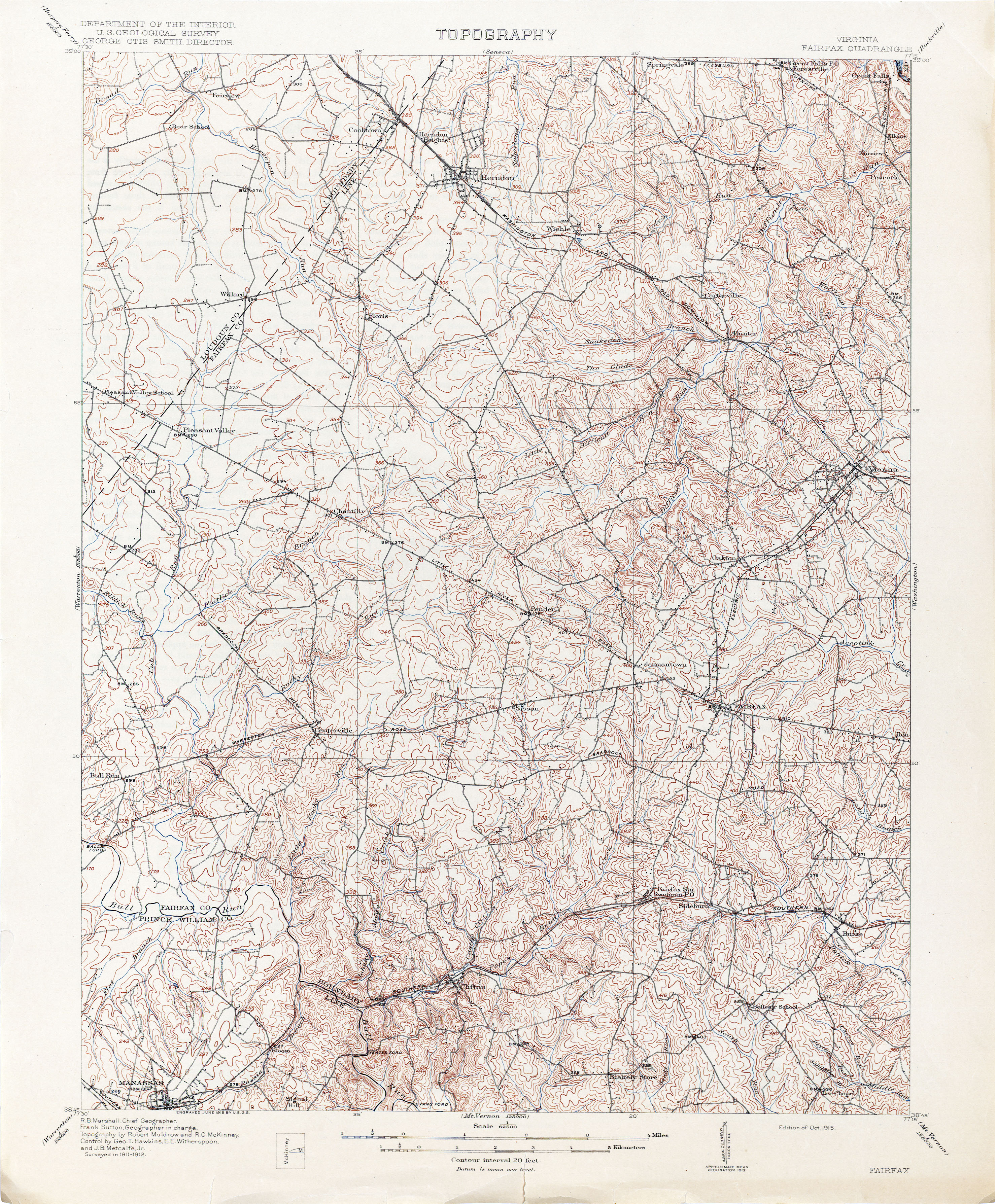
1915 topographic map of Washington, D.C., the city of Alexandria, Alexandria County, Falls Church and northeastern Fairfax County, showing the route of the W&OD Railway's Great Falls Division between Georgetown and Great Falls: Marshall, R. B.; Sutton, Frank (1915). "Topography: Maryland — District of Columbia — Virginia, Washington and vicinity". Washington, D.C.: United States Department of the Interior: United States Geological Survey. LCCN87691472. Retrieved July 24, 2020 – via Library of Congress.
1917 topographic map of Washington, D.C., the city of Alexandria, Alexandria County, Falls Church and northeastern Fairfax County, showing the route of the W&OD Railway's Great Falls Division between Georgetown and Great Falls: Marshall, R. B.; Sutton, Frank (1917). "Washington and Vicinity: Maryland: District of Columbia: Virginia". Washington, D.C.: United States Department of the Interior: United States Geological Survey. LCCN87691475. OCLC15519039. Retrieved July 24, 2020 – via Library of Congress.
1929 topographic map of Washington, D.C., the city of Alexandria, Alexandria County, Falls Church and northeastern Fairfax County, showing the routes of the W&OD Railway's Great Falls Division between Rosslyn and Great Falls:"Washington and Vicinity: Maryland: District of Columbia: Virginia". Washington, D.C.: United States Department of the Interior: United States Geological Survey. 1929. LCCN87693006. OCLC15653164. Retrieved July 24, 2020 – via Library of Congress.
^1929 topographic map of Washington, D.C., the city of Alexandria, Alexandria County, Falls Church and northeastern Fairfax County, showing the location of the Lee Heights station on the W&OD Railway's Great Falls Division: "Washington and Vicinity: Maryland: District of Columbia: Virginia". Washington, D.C.: United States Department of the Interior: United States Geological Survey. 1929. LCCN87693006. OCLC15653164. Retrieved July 24, 2020 – via Library of Congress.
^Coalition for the Capital Crescent Trail. "The Georgetown Branch Railroad". HMdb.org: The Historical Marker Database (photographed by Tom Fuchs, Greenbelt, MD, January 21, 2006). Archived from the original on September 27, 2015. Retrieved January 1, 2012. Description of planned Baltimore and Ohio (B&O) Railroad branch in Virginia.
King, W.E. (1934-07-19). Index map showing Washington & Old Dominion Railway's line abandoned in relation to other railroads and common carriers in lower left corner of "GF&OD Railroad 1916 ICC Valuation Map No. 3"(PDF). Washington & Old Dominion Regional Park: History: W&OD Railroad Maps. NOVA Parks. July 1, 1916. Archived(PDF) from the original on November 10, 2018. Retrieved November 10, 2018.


