Jump to content


Main menu


Navigation  


Main page
Contents
Current events
Random article
About Wikipedia
Contact us
Donate


Contribute  


Help
Learn to edit
Community portal
Recent changes
Upload file


Search  


Create account

Log in


Create account
 Log in


Pages for logged out editors learn more  


Contributions
Talk


Contents


(Top)


1 History  


2 Borders  


3 Neighbouring city quarters  


4 Gallery  


5 See also  


6 References  


7 External links  


Sajlovo


Français
Српски / srpski
Srpskohrvatski / српскохрватски
 

Edit links


Article
Talk


Read
Edit
View history


Tools


Actions  


Read
Edit
View history


General  


What links here
Related changes
Upload file
Special pages
Permanent link
Page information
Cite this page
Get shortened URL
Download QR code
Wikidata item


Print/export  


Download as PDF
Printable version


In other projects  


Wikimedia Commons


Appearance


Coordinates: 45°1630.51N 19°4645.62E / 45.2751417°N 19.7793389°E / 45.2751417; 19.7793389
 

From Wikipedia, the free encyclopedia


Sajlovo
Сајлово
Sajlovo
Sajlovo
Sajlovo is located in Novi Sad
Sajlovo

Sajlovo

Location within Novi Sad

Coordinates: 45°16′30.51″N 19°46′45.62″E / 45.2751417°N 19.7793389°E / 45.2751417; 19.7793389
Country Serbia
ProvinceVojvodina
DistrictSouth Bačka
MunicipalityNovi Sad
Area
 • Total3.69 km2 (1.42 sq mi)
Time zoneUTC+1 (CET)
 • Summer (DST)UTC+2 (CEST)
Area code+381(0)21
Car platesNS

Sajlovo (Serbian Cyrillic: Сајлово; Hungarian: Zajol) or Donje Sajlovo (Serbian Cyrillic: Доње Сајлово) is a neighborhood of the city of Novi Sad, Serbia.

History

[edit]

In 1237, two villages with name Sajlovo (Hungarian: Zajol), Donje Sajlovo and Gornje Sajlovo, were mentioned to exist in this area. The original name of these settlements was Isailovo. Settlements were named after monk Isaija from nearby monastery that existed in the 12th century in the east of Rumenka. Name Sajlovo/Isailovo is of Slavic origin, which indicate that these settlements were initially inhabited by Slavs.

Modern settlement of Sajlovo was mostly settled during the 1990s with Serb refugees from parts of former Yugoslavia.

Borders

[edit]
Map of the urban area of Novi Sad with city quarters, showing the location of Sajlovo
Medieval settlement of Donje Sajlovo in the location of modern Sajlovo

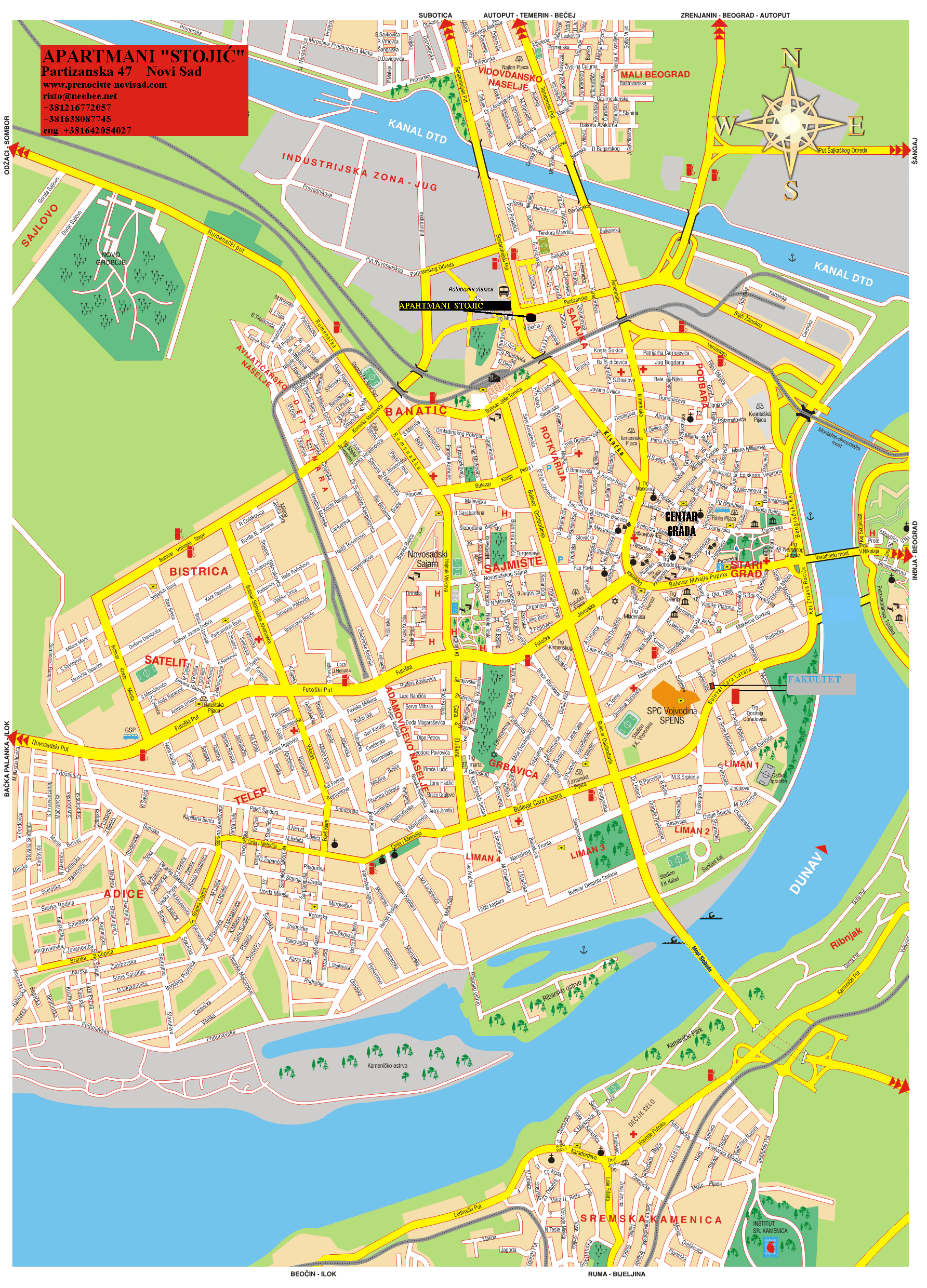
The north-eastern border of Sajlovo is Rumenački put (Rumenka Road), the south-eastern border is ulica Donje Sajlovo (Donje Sajlovo Street), and the western border is a western city limit of Novi Sad.

Neighbouring city quarters

[edit]

The neighbouring city quarters are Jugovićevo in the south-east, and Industrijska Zona Jug in the north-east.

[edit]

See also

[edit]

References

[edit]
[edit]
Retrieved from "https://en.wikipedia.org/w/index.php?title=Sajlovo&oldid=1041763546"

Category: 
Novi Sad neighborhoods
Hidden categories: 
Pages using gadget WikiMiniAtlas
Articles with short description
Short description matches Wikidata
Coordinates on Wikidata
Articles containing Serbian-language text
Articles containing Hungarian-language text
Commons category link is on Wikidata
All articles with dead external links
Articles with dead external links from December 2017
Articles with permanently dead external links


This page was last edited on 1 September 2021, at 10:16 (UTC).

Text is available under the Creative Commons Attribution-ShareAlike License 4.0; additional terms may apply. By using this site, you agree to the Terms of Use and Privacy Policy. Wikipedia® is a registered trademark of the Wikimedia Foundation, Inc., a non-profit organization.


Privacy policy

About Wikipedia

Disclaimers

Contact Wikipedia

Code of Conduct

Developers

Statistics

Cookie statement

Mobile view


Wikimedia Foundation
Powered by MediaWiki