Jump to content


Main menu


Navigation  


Main page
Contents
Current events
Random article
About Wikipedia
Contact us
Donate


Contribute  


Help
Learn to edit
Community portal
Recent changes
Upload file


Search  


Create account

Log in


Create account
 Log in


Pages for logged out editors learn more  


Contributions
Talk


Contents


(Top)


1 Borders  


2 Neighbouring settlements  


3 Parts of Satelit  


4 History  


5 Features  


6 Notable citizens  


7 See also  


8 References  


9 External links  


Satelit


Español
Српски / srpski
 

Edit links


Article
Talk


Read
Edit
View history


Tools


Actions  


Read
Edit
View history


General  


What links here
Related changes
Upload file
Special pages
Permanent link
Page information
Cite this page
Get shortened URL
Download QR code
Wikidata item


Print/export  


Download as PDF
Printable version


In other projects  


Wikimedia Commons


Appearance


From Wikipedia, the free encyclopedia


Map of the urban area of Novi Sad with city quarters, showing the location of Satelit
Detailed map of Satelit
Satelit, Futoški put (Futog Road)

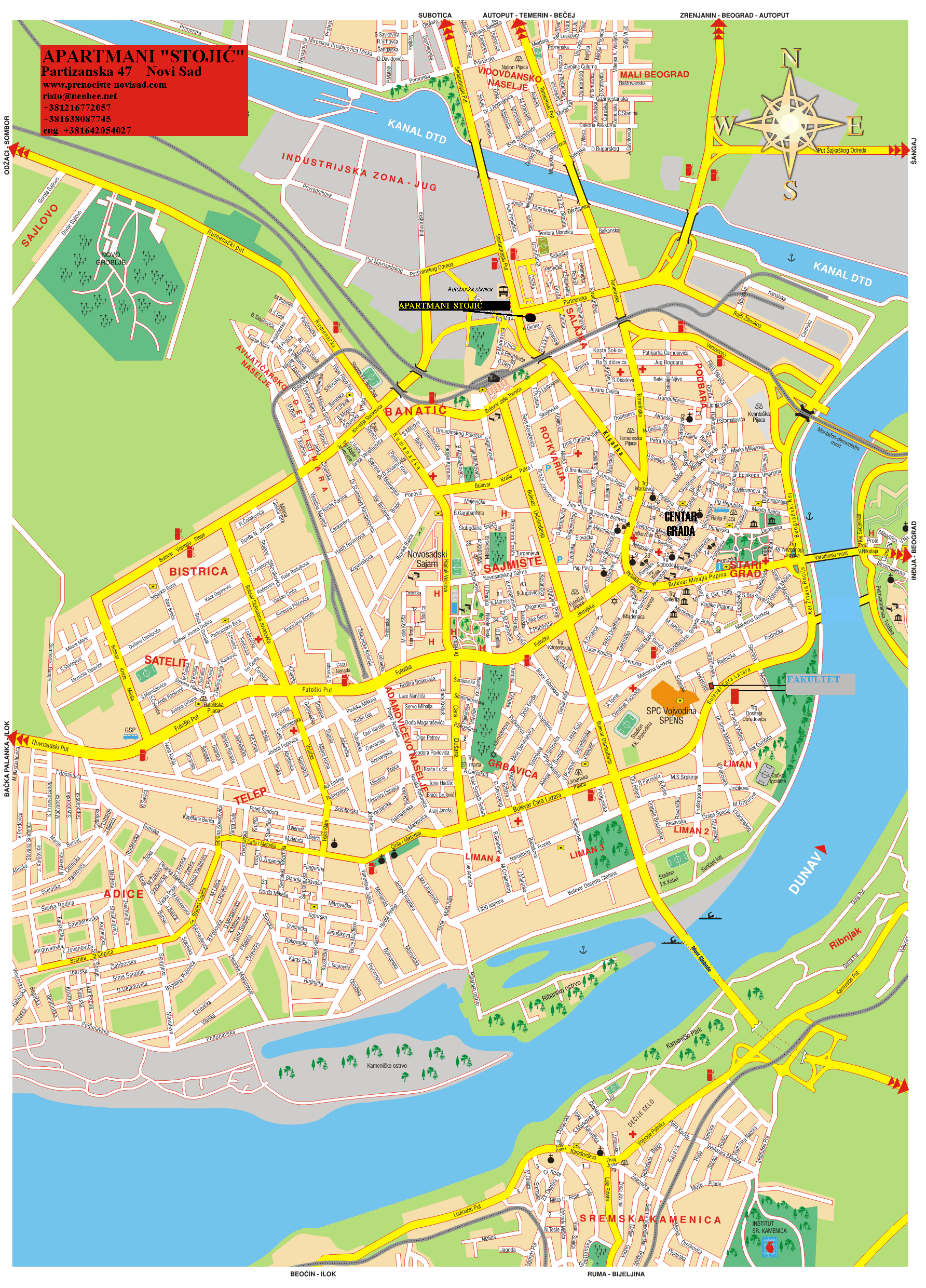
Satelit (Serbian: Сателит) is a small urban neighborhood of the city of Novi Sad, Serbia. In English it translates as “Satellite”. It is part of the larger Bistrica urban area and neighborhood.

Borders

[edit]

The southern border of Satelit is Futoški put (Futog Road), the western border is Bulevar Kneza Miloša (Knez Miloš Boulevard),the eastern border is Bulevar Slobodana Jovanovića (Slobodan Jovanović Boulevard) and the northern border is Bulevar Jovana Dučića (Jovan Dučić Boulevard).

Neighbouring settlements

[edit]

The neighbouring settlements of Satelit are: Telep on the south, Novo Naselje on the north and east and Veternik on the west.

Parts of Satelit

[edit]

Some of the parts of Satelit are: Stari Satelit (Old Satelit) and Mali Satelit (Tozinovac).

History

[edit]

The construction of Satelit began in 1957, when the first houses were built in the area now known as Tozinovac. Mass construction between 1976 and 1980 merged Satelit into the New Neighborhood (Novo Naselje), later named Bistrica. Between 2000 and 2020, most of Tozinovac was dismantled to make way for the Bate Brkića Boulevard extension, connecting it with Futoša street. Several new apartment buildings were constructed in the southern parts of Bate Brkića.

Features

[edit]

Some of the important features of Satelit are: Satelit Market (Satelitska pijaca), "Autokop" (a factory for production of idle parts for cars), and a stadium of "Mladost" football club. There is also an elementary school『Miloš Crnjanski』in the settlement.

Notable citizens

[edit]

See also

[edit]

References

[edit]
[edit]
Retrieved from "https://en.wikipedia.org/w/index.php?title=Satelit&oldid=1156949325"

Categories: 
Novi Sad neighborhoods
Populated places established in 1957
Hidden categories: 
Articles with short description
Short description is different from Wikidata
Articles containing Serbian-language text
Commons category link from Wikidata


This page was last edited on 25 May 2023, at 11:43 (UTC).

Text is available under the Creative Commons Attribution-ShareAlike License 4.0; additional terms may apply. By using this site, you agree to the Terms of Use and Privacy Policy. Wikipedia® is a registered trademark of the Wikimedia Foundation, Inc., a non-profit organization.


Privacy policy

About Wikipedia

Disclaimers

Contact Wikipedia

Code of Conduct

Developers

Statistics

Cookie statement

Mobile view


Wikimedia Foundation
Powered by MediaWiki