
Xindian, Xiamen
Xindian
新店镇 Hsin-tien[1] | |
|---|---|
 A school in Lütang | |
 Xindian Location in Fujian | |
| Coordinates: 24°36′36″N 118°14′26″E / 24.61000°N 118.24056°E | |
| Country | People's Republic of China |
| Province | Fujian |
| Sub-provincial city | Xiamen |
| District | Xiang'an |
| Village-level divisions | 41 residential communities |
| Area | |
| • Total | 135 km2 (52 sq mi) |
| Population (2010)[3] | |
| • Total | 92,770 |
| • Density | 690/km2 (1,800/sq mi) |
| Time zone | UTC+8 (China Standard) |
| Xindian, Xiamen | |||||||||
|---|---|---|---|---|---|---|---|---|---|
| Simplified Chinese | 新店镇 | ||||||||
| Traditional Chinese | 新店鎮 | ||||||||
| |||||||||
Xindian (simplified Chinese: 新店镇; traditional Chinese: 新店鎮; pinyin: Xīndiàn Zhèn; Pe̍h-ōe-jī: Sin-tiàm-tìn) is a town in Xiang'an District, Xiamen, Fujian, China.
History
[edit]
In the lead up to the Battle of Kuningtou in 1949, PLA forces massed at Aotou (Ao-t'ou; 澳頭), Dadeng (Tateng) and Lianhe (Lienho; 蓮河) (then part of Nan'an County).[4]

In the Second Taiwan Strait Crisis in 1958, Lianhe was one of the areas from which PLA forces shelled Kinmen County, Republic of China (Taiwan).[4]
In 1959, Xindian Commune (新店公社) was established.[3]
In January 1971, Dadeng, Xiaodeng and Liuhe were transferred from Nan'an to Tong'an County.[5]
In 1984, Xindian Commune became Xindian Township (新店乡).[3]
In 1987, Xindian Township became Xindian Town.[3]
Geography
[edit]The island of Eyu Yu[6] (O-yü Hsü,[1][7] 鳄鱼屿 'alligator islet') is located to the west of Xindian.
Administrative divisions
[edit]Xindian administers forty-one residential communities:[2][3][8] Xinxing (新兴社区), Xindian (新店社区), Lianhe (Lien-ho,[1] Lienho; 莲河社区), Xiawu (Hsia-wu;[1] 霞浯社区), Xiaolong (Hsiao-lung;[1] 霄垄社区), Hengcuo (Heng-ts'o;[1] 珩厝社区), Maolin (茂林社区), Dazhai (大宅社区), Lütang (Lü-tang;[1] 吕塘社区), Xiwei (溪尾社区), Xiangwu (祥吴社区), Hutou (湖头社区), Dongkeng (东坑社区), Hongqian (洪前社区), Hongcuo (洪厝社区), Luqian (Lu-ch'ien;[1] 炉前社区), Xiahoubin (下后滨社区), Liuwudian (Liu-wu-tien,[1] Liuwutien;[9] 刘五店社区), Puyuan (P'u-yüan;[1] 浦园社区), Xibin (西滨社区), Aotou (Ao-t'ou;[1] 澳头社区), Oucuo (Ou-ts'o;[1] 欧厝社区), Pengcuo (P'eng-ts'o;[1] 彭厝社区), Qianwu (Ch'ien-wu;[1] 前浯社区), Houcun (后村社区), Caicuo (Ts'ai-ts'o;[1] 蔡厝社区), Chentang (陈塘社区), Dongyuan (Tung-yüan;[1] 东园社区), Shamei (沙美社区), Xiaxu (下许社区), Anshan (垵山社区), Dongjie (东界社区), Zhongzhai (钟宅社区), Pubian (P'u-pien;[1] 浦边社区), Guluo (鼓锣社区), Puxi (浦西社区), Dongxing (东兴社区), Honglinhu (洪琳湖社区), Zengban (曾坂社区), Xiangmei (祥美社区), Guyan (鼓岩社区)
See also
[edit]References
[edit]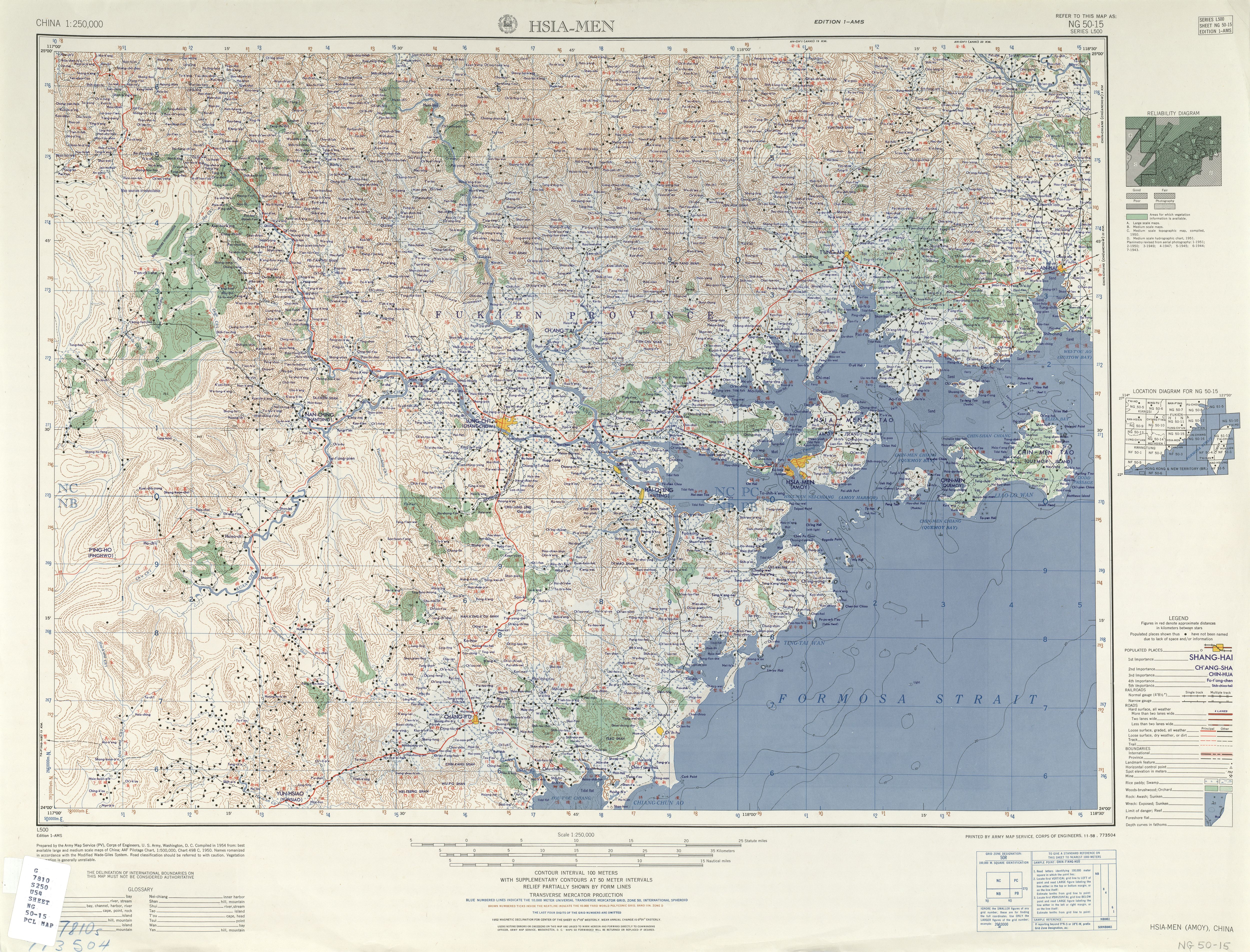
O-yü Hsü Lien-ho 蓮河 Hsia-wu
Hsiao-lung Heng-ts'o Lü-tang 東
園 Tung-yüan 新店 Hsin-tien P'u-pi
en Ts'ai-ts'o Ch'ien-wu 前浯 P'u-
yüan P'eng-ts'o 彭厝 Ou-ts'o Ao-t
'ou 澳頭 Liu-wu-tien 刘五店 Lu-ch'ie
n(二)^ ab新店镇. 厦门市翔安区人民政府 PEOPLE'S GOVERNMENT OF XIANG'AN XIAMEN (in Simplified Chinese). 25 June 2019. Retrieved 14 August 2019.
全镇总面积135平方公里,辖41个社区居委会,(三)^ abcdef新店镇 [Xindian Town] (in Simplified Chinese). XZQH.org. 18 December 2015. Retrieved 14 August 2019.
面积118.29平方千米。常住人口9
2770人︵2010年六普︶。辖35个社区。{...}︻沿革︼1
959年建新店公社,1984年改乡,1987年改镇。{...}
︻邮编︼361102︻2013年代码及城乡分类︼3502131
04:~001 111新兴社区 ~002 112新店社区 ~0
03 220莲河社区 ~004 220霞浯社区 ~005 22
0霄垄社区 ~006 220珩厝社区 ~007 220茂林社区
~008 220大宅社区 ~009 220吕塘社区 ~010
220溪尾社区 ~011 111祥吴社区 ~012 220湖
头社区 ~013 220东坑社区 ~014 112洪前社区 ~
015 220洪厝社区 ~016 220炉前社区 ~017 2
20下后滨社区 ~018 220刘五店社区 ~019 220浦
园社区 ~020 220西滨社区 ~021 220澳头社区 ~
022 220欧厝社区 ~023 220彭厝社区 ~024 2
20前浯社区 ~025 220后村社区 ~026 220蔡厝社
区 ~027 111陈塘社区 ~028 220东园社区 ~02
9 220沙美社区 ~030 220下许社区 ~031 220
垵山社区 ~032 220东界社区 ~033 220钟宅社区 ~
034 220浦边社区 ~035 220鼓锣社区(四)^ ab臺灣歷史地圖 增訂版 [Taiwan Historical Maps, Expanded and Revised Edition] (in Chinese (Taiwan)). Taipei: National Museum of Taiwan History. February 2018. pp. 154, 158–9. ISBN 978-986-05-5274-4.
古寧頭戰役地圖1949年10月3共軍集結澳頭、大嶝、蓮
河 澳頭 大嶝島 蓮河{...}蓮河{...}共軍主要砲兵陣地
{...}2共軍加強沿海戰力,國軍進入緊急戰備狀態 1958.
7.15(五)^ 南安市历史沿革 [Nan'an City Historical Development] (in Simplified Chinese). XZQH.org. 12 July 2015. Retrieved 15 August 2019.
19
71年1月,将大、小嶝及莲河划归同安县。(六)^ Eyu Yu (Approved - N) atGEOnet Names Server, United States National Geospatial-Intelligence Agency (七)^ O-yü Hsu (Variant - V) atGEOnet Names Server, United States National Geospatial-Intelligence Agency (八)^ 2018年统计用区划代码和城乡划分代码‥新店镇 [2018 Statistical Area Numbers and Rural-Urban Area Numbers: Xindian Town] (in Simplified Chinese). National Bureau of Statistics of the People's Republic of China. 2018. Retrieved 14 August 2019.
统计用区划代码 城乡分类代码 名称 35021310
4001 111 新兴社区居委会 350213104002 1
12 新店社区居委会 350213104003 220 莲河社
区居委会 350213104004 220 霞浯社区居委会 3
50213104005 220 霄垄社区居委会 3502131
04006 220 珩厝社区居委会 350213104007
220 茂林社区居委会 350213104008 220 大宅
社区居委会 350213104009 220 吕塘社区居委会
350213104010 220 溪尾社区居委会 350213
104011 111 祥吴社区居委会 350213104012
220 湖头社区居委会 350213104013 220 东
坑社区居委会 350213104014 112 洪前社区居委会
350213104015 220 洪厝社区居委会 35021
3104016 220 炉前社区居委会 35021310401
7 220 下后滨社区居委会 350213104018 220
刘五店社区居委会 350213104019 220 浦园社区
居委会 350213104020 220 西滨社区居委会 35
0213104021 220 澳头社区居委会 35021310
4022 220 欧厝社区居委会 350213104023 2
20 彭厝社区居委会 350213104024 220 前浯社
区居委会 350213104025 220 后村社区居委会 3
50213104026 220 蔡厝社区居委会 3502131
04027 111 陈塘社区居委会 350213104028
220 东园社区居委会 350213104029 220 沙美
社区居委会 350213104030 220 下许社区居委会
350213104031 220 垵山社区居委会 350213
104032 220 东界社区居委会 350213104033
220 钟宅社区居委会 350213104034 220 浦
边社区居委会 350213104035 220 鼓锣社区居委会
350213104036 220 浦西社区居委会 35021
3104037 111 东兴社区居委会 35021310403
8 111 洪琳湖社区居委会 350213104039 111
曾坂社区居委会 350213104040 111 祥美社区居
委会 350213104041 123 鼓岩社区居委会(九)^ Edward Stanford (1908). Atlas of the Chinese Empire (1 ed.). pp. 24, 81.
Liuwutien
This Fujian location article is a stub. You can help Wikipedia by expanding it. |